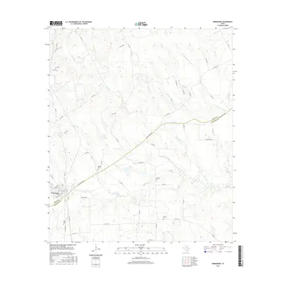
2016 Map of Normangee
USGS Topo · Published 2016About this map
Normangee sits at the western edge of this landscape, where the street grid of the town site meets the diagonal crossing of the Old San Antonio Rd. This historic route bisects the region, carving through the transition from the Rodgers Prairie uplands down toward the many winding tributaries of Caney Cr. The map reveals a rural pattern of settlement defined by isolated family and community burial grounds, including Rodgers Prairie Cem, Sand Prairie Cem, and Tenmile Cem.
Find a feature on this map
74 named features on this map. Tap any name to fly to it.
Don’t see what you’re looking for? This feature index may not catch every label — zoom into the map to look around manually.
Map Details
Editions of this 2016 Normangee Map
This is the sole edition of this map. No revisions or reprints were ever made.
Other maps of this area
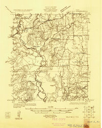
1925 · Iola No 2
USGS Topo · 1:48,000
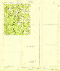
1931 · Iola
USGS Topo · 1:62,500

1953 · Palestine
USGS Topo · 1:250,000

1954 · Waco
USGS Topo · 1:250,000

1954 · Beaumont
USGS Topo · 1:250,000

1954 · Austin
USGS Topo · 1:250,000

1955 · Waco
USGS Topo · 1:250,000

1957 · Beaumont
USGS Topo · 1:250,000

1957 · Palestine
USGS Topo · 1:250,000
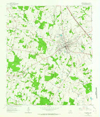
1963 · Madisonville
USGS Topo · 1:24,000