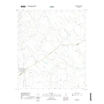
2019 Map of Normangee
USGS Topo · Published 2019About this map
Normangee sits at the southwestern edge of this landscape, where the historic Old San Antonio Rd cuts diagonally across the terrain, marking the boundary between Leon and Madison counties. The geography is defined by a dense network of tributaries including Caney Cr, Riley Cr, and Hollis Br, which drain the undulating countryside. This 2019 survey documents a rural landscape where ancestral roots are preserved in several scattered burial grounds, such as Rodgers Prairie Cem, Randolph Cem, and Tenmile Cem. Water features like Rodgers Lake, Moss Lake, and Cook Lake are prominent landmarks within the local drainage system. The road network, including FM 2289 and Batson Rd, connects these remote homesteads and creek crossings, illustrating the persistent settlement patterns in this part of East Texas.
Find a feature on this map
79 named features on this map. Tap any name to fly to it.
Don’t see what you’re looking for? This feature index may not catch every label — zoom into the map to look around manually.
Map Details
Editions of this 2019 Normangee Map
This is the sole edition of this map. No revisions or reprints were ever made.
Other maps of this area
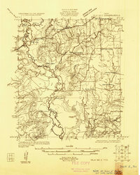
1925 · Iola No 2
USGS Topo · 1:48,000
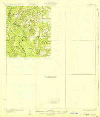
1931 · Iola
USGS Topo · 1:62,500

1953 · Palestine
USGS Topo · 1:250,000

1954 · Waco
USGS Topo · 1:250,000

1954 · Beaumont
USGS Topo · 1:250,000

1954 · Austin
USGS Topo · 1:250,000

1955 · Waco
USGS Topo · 1:250,000

1957 · Beaumont
USGS Topo · 1:250,000

1957 · Palestine
USGS Topo · 1:250,000
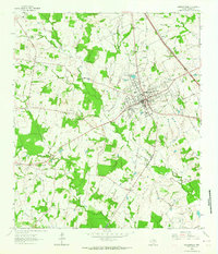
1963 · Madisonville
USGS Topo · 1:24,000