2000s (21st Century) Maps of Gordon, Texas
Explore 10 historic maps of Gordon from the 2000s (21st Century). These maps offer a rare glimpse into what life looked like during the 2000s — showing old roads, neighborhoods, homes, and landmarks that have changed or disappeared over time.
Whether you're researching your family's past, planning a metal detecting trip, or studying how Gordon's landscape evolved across the 2000s, these high-resolution maps are a powerful tool for exploring the history of this region.
- Focus on a specific era: All maps on this page are from the 2000s, giving you a focused view of this time period.
- See what’s changed: Compare century-old streets, trails, and buildings to today's modern landscape using overlays and satellite layers.
- Research with precision: Use these maps for genealogy, historical research, land use analysis, or educational projects.
- View, download, or print: Maps are fully viewable online in high resolution, and can be downloaded or printed for your own records.
Start exploring Gordon's history through authentic maps from the 2000s. This is your window into the past.
Gordon, TX maps
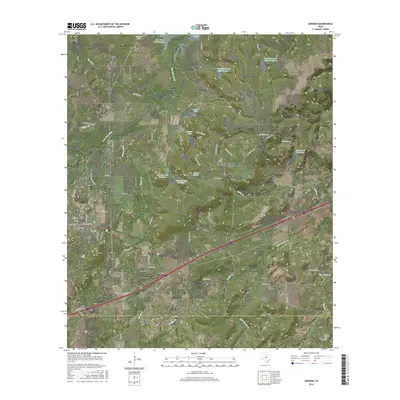
(10)- 2010 Map of Gordon, 2010 Print
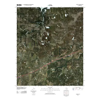 2010 Gordon2010 Print · USGSCovers Gordon, including Coalville, Gordon Junction, and other nearby areas
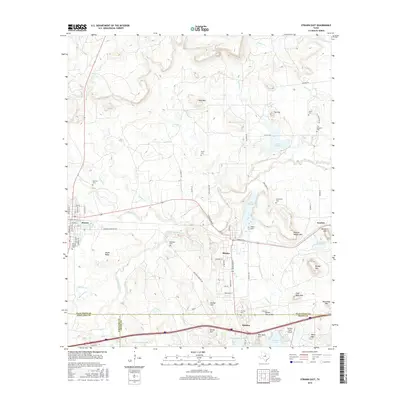
 - 2010 Map of Strawn East, 2010 Print
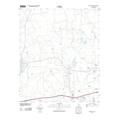 2010 Strawn East2010 Print · USGSCovers Gordon, including Strawn, Mingus, and other nearby areas
 - 2012 Map of Gordon, 2012 Print
 2012 Gordon2012 Print · USGSCovers Gordon, including Coalville, Gordon Junction, and other nearby areas
 - 2012 Map of Strawn East, 2012 Print
 2012 Strawn East2012 Print · USGSCovers Gordon, including Strawn, Mingus, and other nearby areas
 - 2016 Map of Gordon, 2016 Print
 2016 Gordon2016 Print · USGSCovers Gordon, including Coalville, Gordon Junction, and other nearby areas
 - 2016 Map of Strawn East, 2016 Print
 2016 Strawn East2016 Print · USGSCovers Gordon, including Strawn, Mingus, and other nearby areas
 - 2019 Map of Strawn East, 2019 Print
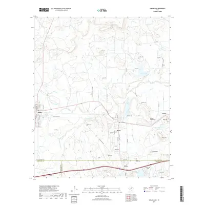 2019 Strawn East2019 Print · USGSCovers Gordon, including Strawn, Mingus, and other nearby areas
 - 2019 Map of Gordon, 2019 Print
 2019 Gordon2019 Print · USGSCovers Gordon, including Coalville, Gordon Junction, and other nearby areas
 - 2022 Map of Gordon, 2022 Print
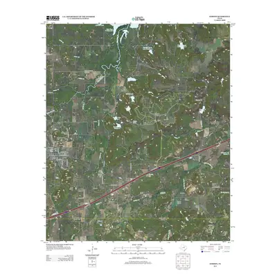
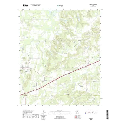
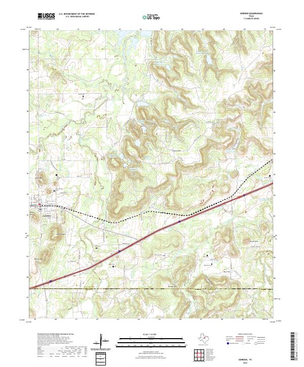 2022 Gordon2022 Print · USGSGordon and the surrounding ranchlands are documented here in the early 2020s, showing a landscape defined by cattle country and family history. Genealogists can locate several historic burial sites, such as Doty Cem, Brierton Cem, and the Blue Cem near Blue Flat.
 - 2022 Map of Strawn East, 2022 Print
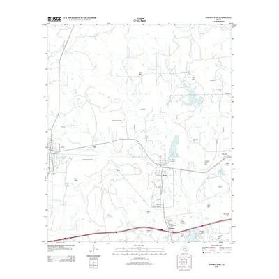
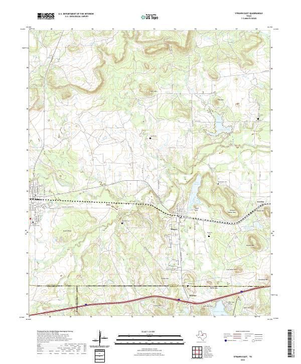 2022 Strawn East2022 Print · USGSThe rail-corridor towns of Strawn and Mingus are documented here in the contemporary era, highlighting a landscape rich in industrial and family history. Researchers can locate numerous burial grounds like McSpadden Cem or trace terrain features like Steam Shovel Mtn and the Union Pacific Railroad.
End of results
Showing maps 1-10 of 10
Top cities near Gordon
- Strawn historical maps
- Mingus historical maps
- Stephenville Country Club Lake historical maps
- Thurber historical maps
Frequently asked questions
- What are the different types of historical maps available for Gordon?
- What is the oldest map of Gordon?
- Where can I purchase historical maps of Gordon for my home or office?
- Where can I download high-res historical maps of Gordon?
- Are there historical topographic maps available for Gordon?
- Is there historical aerial imagery available for Gordon?
- Where are historical maps of Gordon sourced from?