Old Maps of Gordon, Texas for Hiking & Exploration
Hike through history with 18 historic maps of Gordon. Explore old trails, ghost towns, and forgotten backroads — perfect for outdoor adventurers and local explorers.
- Rediscover forgotten places: Map out old mining camps, roads, and footpaths that no longer exist on modern maps.
- Layer with modern tools: Combine with LiDAR or satellite views to plan hikes through historical terrain.
- Made for exploration: Popular among hikers, overlanders, and local history lovers.
Use these maps to find adventure and explore the hidden past of Gordon.
Gordon, TX maps
(18)- 1891 Map of Palo Pinto
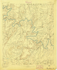 1891 Palo Pinto1891 Print · USGSNorth Texas in the late nineteenth century was a landscape of winding river bends and emerging coal towns. Genealogists and historians can trace early river crossings at Oaks Ferry, the path of the Texas and Pacific Railroad, and the Coal Mines at Coalville.7 unique versions available
 - 1918 Map of Palo Pinto
 1918 Palo Pinto1918 Print · USGSPalo Pinto County and the Brazos River valley appear here in the final year of the Great War, showing a landscape shaped by coal and steam. Genealogists and historians can locate defunct river crossings like Oaks Ferry, early rural education at Marsden School, and the extensive Coal Mines that once powered the regional economy.
 - 1954 Map of Abilene, 1966 Print
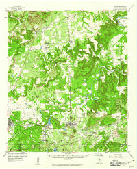
 1954 Abilene1966 Print · USGSThe Texas Big Country comes into focus in the mid-1950s as petroleum and new water projects reshape the landscape. Local historians can trace the Butterfield Trail, find the Fort Phantom Hill Ruins, and locate numerous small communities along the Texas & Pacific line.2 unique versions available
 - 1958 Map of Abilene
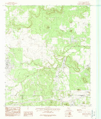
 1958 Abilene1958 Print · USGSMid-century West Texas comes alive in this survey of the Abilene and Stephenville region during a period of steady oil expansion and military growth. Genealogists and local historians can trace the paths of the Texas & Pacific RR through historic towns, locate the Fort Griffin Ruins, and find smaller settlements like Desdemona and Lueders.
 - 1959 Map of Gordon, 1960 Print
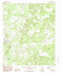
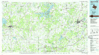
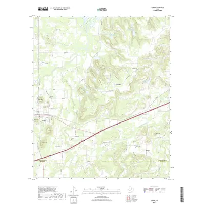
 1959 Gordon1960 Print · USGSThe Palo Pinto hills in the late fifties show a landscape defined by the Texas and Pacific railroad and active coal and oil extraction. Local researchers can trace the locations of family burial sites like Thurber Cem and landmarks like Metcalf Gap.2 unique versions available
 - 1984 Map of Strawn East
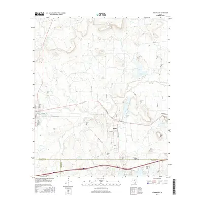
 1984 Strawn East1984 Print · USGSThe Texas coal country near the Palo Pinto and Erath county lines comes into focus in the early eighties. Genealogists and historians can trace the foundations of Strawn, Mingus, and the industrial sites at Coal Mine Mountain.
 - 1984 Map of Gordon
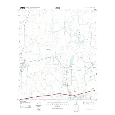
 1984 Gordon1984 Print · USGSPalo Pinto County in the late seventies and early eighties shows a landscape of rail-connected settlements and prominent Texas peaks. Genealogists and historians can trace old homesteads and transport points from Coalville and Blue Flat to Judge Switch and Clayton Mountain.
 - 1985 Map of Mineral Wells
 1985 Mineral Wells1985 Print · USGSNorth-central Texas in the mid-eighties shows a landscape of deep river valleys and massive reservoirs. Genealogists and historians can trace the Missouri Pacific rail line and locate rural settlements like Thurber, Necessity, and Palo Pinto.2 unique versions available
 - 2010 Map of Gordon, 2010 Print
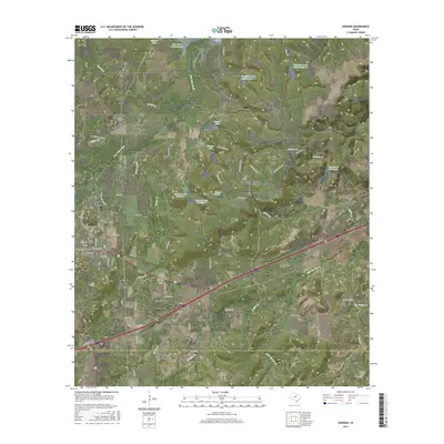
 2010 Gordon2010 Print · USGSCovers Gordon, including Coalville, Gordon Junction, and other nearby areas
 - 2010 Map of Strawn East, 2010 Print
 2010 Strawn East2010 Print · USGSCovers Gordon, including Strawn, Mingus, and other nearby areas
 - 2012 Map of Gordon, 2012 Print
 2012 Gordon2012 Print · USGSCovers Gordon, including Coalville, Gordon Junction, and other nearby areas
 - 2012 Map of Strawn East, 2012 Print
 2012 Strawn East2012 Print · USGSCovers Gordon, including Strawn, Mingus, and other nearby areas
 - 2016 Map of Gordon, 2016 Print
 2016 Gordon2016 Print · USGSCovers Gordon, including Coalville, Gordon Junction, and other nearby areas
 - 2016 Map of Strawn East, 2016 Print
 2016 Strawn East2016 Print · USGSCovers Gordon, including Strawn, Mingus, and other nearby areas
 - 2019 Map of Strawn East, 2019 Print
 2019 Strawn East2019 Print · USGSCovers Gordon, including Strawn, Mingus, and other nearby areas
 - 2019 Map of Gordon, 2019 Print
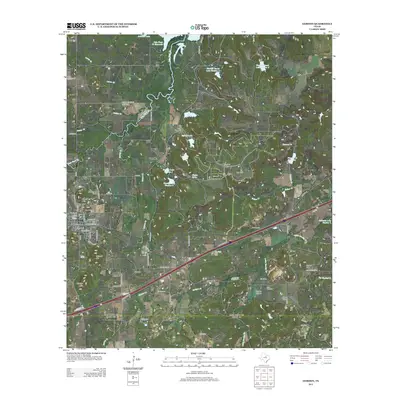
 2019 Gordon2019 Print · USGSCovers Gordon, including Coalville, Gordon Junction, and other nearby areas
 - 2022 Map of Gordon, 2022 Print
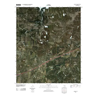
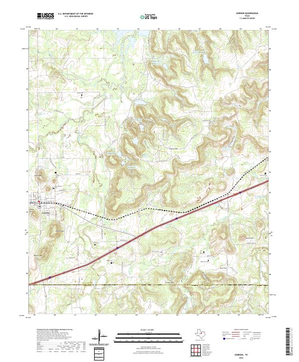 2022 Gordon2022 Print · USGSGordon and the surrounding ranchlands are documented here in the early 2020s, showing a landscape defined by cattle country and family history. Genealogists can locate several historic burial sites, such as Doty Cem, Brierton Cem, and the Blue Cem near Blue Flat.
 - 2022 Map of Strawn East, 2022 Print
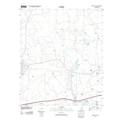
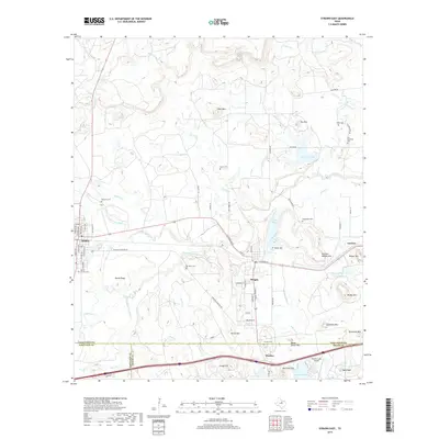
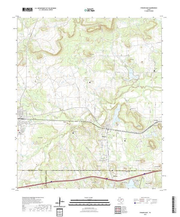 2022 Strawn East2022 Print · USGSThe rail-corridor towns of Strawn and Mingus are documented here in the contemporary era, highlighting a landscape rich in industrial and family history. Researchers can locate numerous burial grounds like McSpadden Cem or trace terrain features like Steam Shovel Mtn and the Union Pacific Railroad.
End of results
Showing maps 1-18 of 18
Top cities near Gordon
- Strawn historical maps
- Mingus historical maps
- Stephenville Country Club Lake historical maps
- Thurber historical maps
Frequently asked questions
- What are the different types of historical maps available for Gordon?
- What is the oldest map of Gordon?
- Where can I purchase historical maps of Gordon for my home or office?
- Where can I download high-res historical maps of Gordon?
- Are there historical topographic maps available for Gordon?
- Is there historical aerial imagery available for Gordon?
- Where are historical maps of Gordon sourced from?