
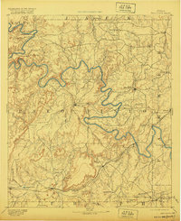
1891 Map of Palo Pinto
USGS Topo · Published 1891About this map
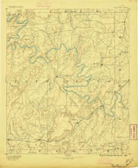
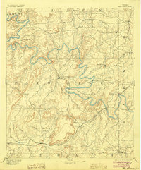
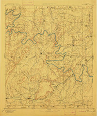
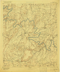
The Brazos River carves a deeply serpentine path across this North Texas landscape, anchoring a region defined by its rugged topography and early industrial development. In the southern portion of the sheet, the Texas and Pacific Railroad links established settlements like Strawn and Gordon to the emerging industrial center at Coalville, where Coal Mines indicate the extractive economy of the late nineteenth century. The county seat at Palo Pinto sits centrally, while Mineral Wells appears to the east, already growing near the Parker County line.
Find a feature on this map
48 named features on this map. Tap any name to fly to it.
Don’t see what you’re looking for? This feature index may not catch every label — zoom into the map to look around manually.
Map Details
Editions of this 1891 Palo Pinto Map
7 editions found
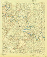
Other maps of this area

1889 · Granbury
USGS Topo · 1:125,000

1890 · Stephenville
USGS Topo · 1:125,000

1890 · Breckenridge
USGS Topo · 1:125,000

1891 · Weatherford
USGS Topo · 1:125,000

1893 · Weatherford
USGS Topo · 1:125,000

1894 · Eastland
USGS Topo · 1:125,000

1918 · Palo Pinto
USGS Topo · 1:125,000

1920 · Stephenville
USGS Topo · 1:125,000

1924 · Breckenridge 1-a
USGS Topo · 1:48,000

1924 · Palo Pinto 2-b
USGS Topo · 1:48,000