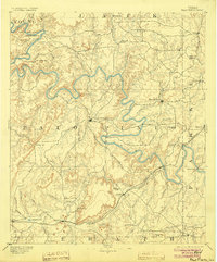
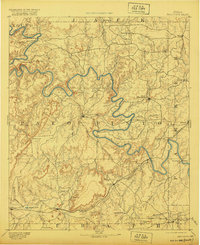
1891 Map of Palo Pinto
USGS Topo · Published 1904About this map
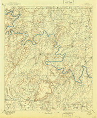
The Brazos River carves a dramatic, winding path across this North Central Texas landscape, serving as a primary geographic anchor for the region in the late 19th century. Near the center of the sheet, the county seat of Palo Pinto sits amidst a network of peaks and ridges, including Kyle Mt and Wolf Mt. To the east, the burgeoning town of Mineral Wells is already established, while the southern corridor is defined by the heavy industry and infrastructure of the Texas and Pacific Railroad.
Find a feature on this map
60 named features on this map. Tap any name to fly to it.
Don’t see what you’re looking for? This feature index may not catch every label — zoom into the map to look around manually.
Map Details
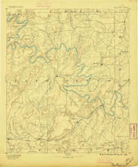
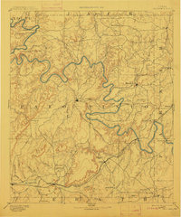
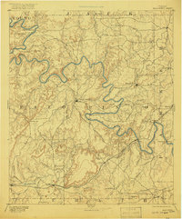
Editions of this 1891 Palo Pinto Map
7 editions found
Other maps of this area

1889 · Granbury
USGS Topo · 1:125,000

1890 · Stephenville
USGS Topo · 1:125,000

1890 · Breckenridge
USGS Topo · 1:125,000

1891 · Weatherford
USGS Topo · 1:125,000

1891 · Palo Pinto
USGS Topo · 1:125,000

1893 · Weatherford
USGS Topo · 1:125,000

1894 · Eastland
USGS Topo · 1:125,000

1918 · Palo Pinto
USGS Topo · 1:125,000

1920 · Stephenville
USGS Topo · 1:125,000

1924 · Breckenridge 1-a
USGS Topo · 1:48,000