2000s (21st Century) Maps of Gary City, Texas
Explore 10 historic maps of Gary City from the 2000s (21st Century). These maps offer a rare glimpse into what life looked like during the 2000s — showing old roads, neighborhoods, homes, and landmarks that have changed or disappeared over time.
Whether you're researching your family's past, planning a metal detecting trip, or studying how Gary City's landscape evolved across the 2000s, these high-resolution maps are a powerful tool for exploring the history of this region.
- Focus on a specific era: All maps on this page are from the 2000s, giving you a focused view of this time period.
- See what’s changed: Compare century-old streets, trails, and buildings to today's modern landscape using overlays and satellite layers.
- Research with precision: Use these maps for genealogy, historical research, land use analysis, or educational projects.
- View, download, or print: Maps are fully viewable online in high resolution, and can be downloaded or printed for your own records.
Start exploring Gary City's history through authentic maps from the 2000s. This is your window into the past.
Gary City, TX maps
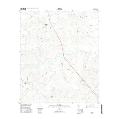
(10)- 2010 Map of Gary, 2010 Print
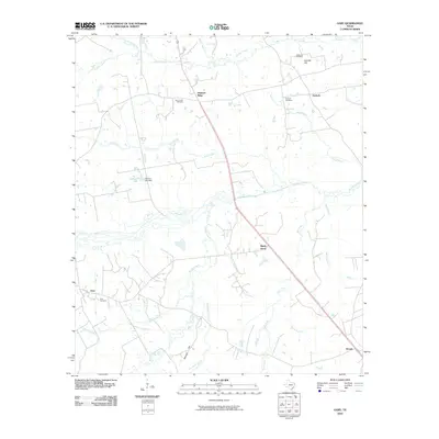 2010 Gary2010 Print · USGSCovers Gary City, including Carthage, Antioch, and other nearby areas
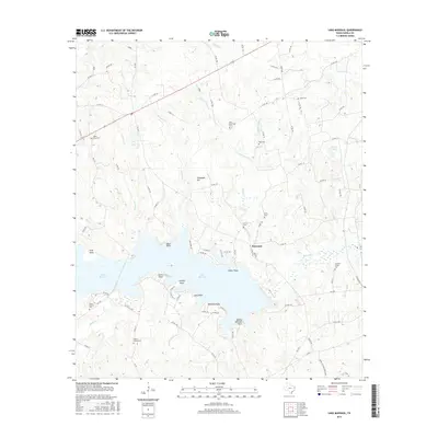
 - 2010 Map of Lake Murvaul, 2010 Print
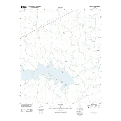 2010 Lake Murvaul2010 Print · USGSCovers Gary City, including Clayton, Buncome, and other nearby areas
 - 2013 Map of Gary, 2013 Print
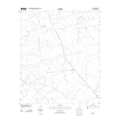 2013 Gary2013 Print · USGSCovers Gary City, including Carthage, Antioch, and other nearby areas
 - 2013 Map of Lake Murvaul, 2013 Print
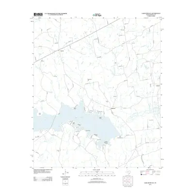 2013 Lake Murvaul2013 Print · USGSCovers Gary City, including Clayton, Buncome, and other nearby areas
 - 2016 Map of Gary, 2016 Print
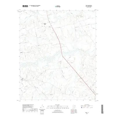
 2016 Gary2016 Print · USGSCovers Gary City, including Carthage, Antioch, and other nearby areas
 - 2016 Map of Lake Murvaul, 2016 Print
 2016 Lake Murvaul2016 Print · USGSCovers Gary City, including Clayton, Buncome, and other nearby areas
 - 2019 Map of Lake Murvaul, 2019 Print
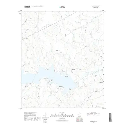 2019 Lake Murvaul2019 Print · USGSCovers Gary City, including Clayton, Buncome, and other nearby areas
 - 2019 Map of Gary, 2019 Print
 2019 Gary2019 Print · USGSCovers Gary City, including Carthage, Antioch, and other nearby areas
 - 2022 Map of Gary, 2022 Print
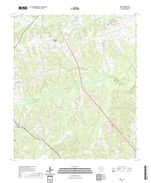 2022 Gary2022 Print · USGSPanola County's rural East Texas landscape is captured in the early 2020s, showing a region deeply rooted in its local geography and family history. Researchers can trace ancestral locations through numerous sites like Gary Cem, Antioch Cem, and the community at Pleasant Ridge.
 - 2022 Map of Lake Murvaul, 2022 Print
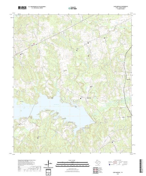 2022 Lake Murvaul2022 Print · USGSPanola County, Texas, is shown in the early 2020s as a landscape of rural communities and the sprawling waters of Lake Murvaul. Genealogists and local historians can trace dozens of legacy sites including Heath Cem, Graves Ranch Cem, and the settlement at Gary City.
End of results
Showing maps 1-10 of 10
Top cities near Gary City
- Carthage historical maps
- Center historical maps
- Timpson historical maps
- Tenaha historical maps
- Garrison historical maps
- Beckville historical maps
Top neighborhoods of Gary City
Frequently asked questions
- What are the different types of historical maps available for Gary City?
- What is the oldest map of Gary City?
- Where can I purchase historical maps of Gary City for my home or office?
- Where can I download high-res historical maps of Gary City?
- Are there historical topographic maps available for Gary City?
- Is there historical aerial imagery available for Gary City?
- Where are historical maps of Gary City sourced from?