Old Maps of Gary City, Texas for Academic Research
Study the evolution of Gary City with 16 high-resolution historic maps. Whether you're teaching, researching, or modeling changes in land use, these maps provide essential visual documentation of urban, environmental, and geographic change.
- Analyze long-term change: Track patterns in development, transportation, and natural features.
- Ideal for environmental or urban studies: Support academic projects with primary historical map data.
- Use in the classroom or lab: Educators and researchers rely on these maps to bring historical context to life.
These maps are a powerful tool for teaching, research, and visualizing how Gary City has changed over the decades.
Gary City, TX maps
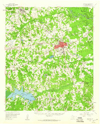
(16)- 1956 Map of Tyler
 1956 Tyler1956 Print · USGSEast Texas was a powerhouse of oil production and rail transport during the mid-fifties, centered on the sprawling East Texas Oil Field. Researchers can trace the heritage of industrial hubs like Kilgore, military sites such as the Longhorn Ordnance Works, and many rural landmarks like Mount Enterprise.5 unique versions available
 - 1958 Map of Carthage, 1960 Print
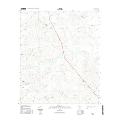
 1958 Carthage1960 Print · USGSMid-century Panola County comes to life as the city of Carthage grows and the waters of Lake Murvaul fill the southern valleys. Genealogists and historians can trace dozens of rural landmarks, from Liberty Chapel Cem to the AT & SF RR rail stops at Gary and Beckville.2 unique versions available
 - 1983 Map of Gary
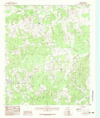 1983 Gary1983 Print · USGSPanola County, Texas, is shown in the early eighties as a landscape of established rural settlements and winding creek bottoms. Researchers can trace family sites near Gary or explore the drainage basins of Murvaul Creek, Antioch, and Shady Grove.
 - 1983 Map of Lake Murvaul
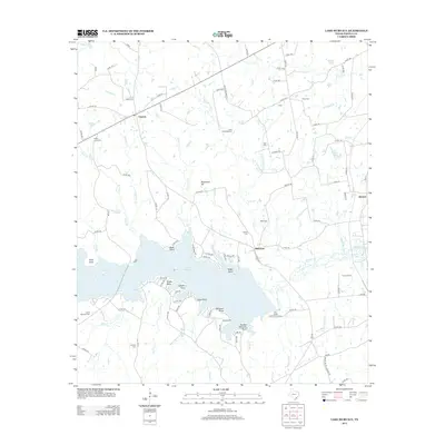
 1983 Lake Murvaul1983 Print · USGSPanola County, Texas, is captured here in the early 1980s as Lake Murvaul shaped the local economy and geography. Researchers can trace rural settlement patterns and local landmarks like Clayton, the Lookout Tower, and family-named features like Lampin Point.
 - 1984 Map of Tyler
 1984 Tyler1984 Print · USGSEast Texas at the peak of its reservoir-building era shows a landscape defined by new lakes and established rail corridors. Trace the path of the St Louis Southwestern RR or locate industrial sites like the Longhorn Ordnance Works.3 unique versions available
 - 1986 Map of Henderson
 1986 Henderson1986 Print · USGSEast Texas and the Louisiana borderlands come into focus in the 1980s as industrial energy production meets quiet rural townships. Researchers can trace family sites and local landmarks from Elysian Fields to Old Panola, alongside major features like the Strip Mine and Martin Lake State Park.2 unique versions available
 - 2010 Map of Gary, 2010 Print
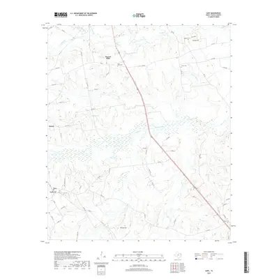
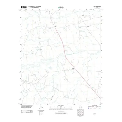 2010 Gary2010 Print · USGSCovers Gary City, including Carthage, Antioch, and other nearby areas
 - 2010 Map of Lake Murvaul, 2010 Print
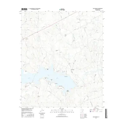
 2010 Lake Murvaul2010 Print · USGSCovers Gary City, including Clayton, Buncome, and other nearby areas
 - 2013 Map of Gary, 2013 Print
 2013 Gary2013 Print · USGSCovers Gary City, including Carthage, Antioch, and other nearby areas
 - 2013 Map of Lake Murvaul, 2013 Print
 2013 Lake Murvaul2013 Print · USGSCovers Gary City, including Clayton, Buncome, and other nearby areas
 - 2016 Map of Gary, 2016 Print
 2016 Gary2016 Print · USGSCovers Gary City, including Carthage, Antioch, and other nearby areas
 - 2016 Map of Lake Murvaul, 2016 Print
 2016 Lake Murvaul2016 Print · USGSCovers Gary City, including Clayton, Buncome, and other nearby areas
 - 2019 Map of Lake Murvaul, 2019 Print
 2019 Lake Murvaul2019 Print · USGSCovers Gary City, including Clayton, Buncome, and other nearby areas
 - 2019 Map of Gary, 2019 Print
 2019 Gary2019 Print · USGSCovers Gary City, including Carthage, Antioch, and other nearby areas
 - 2022 Map of Gary, 2022 Print
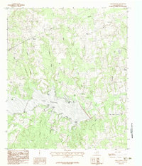
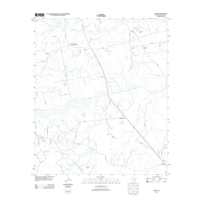
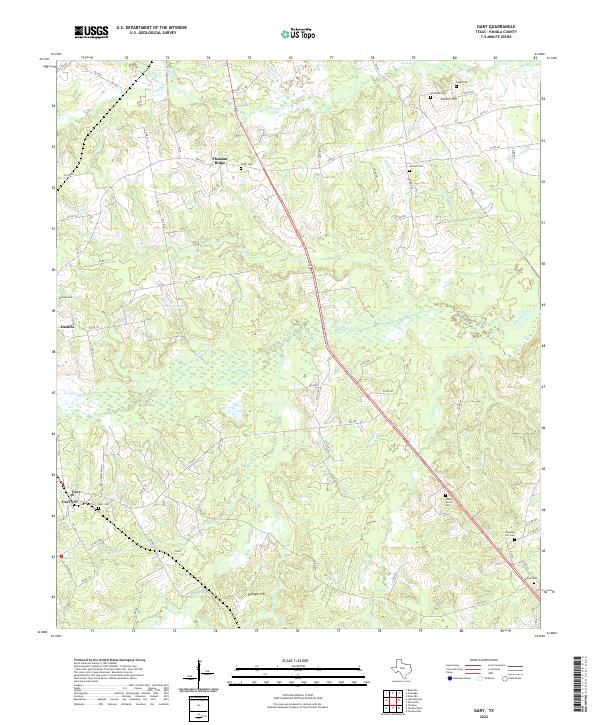 2022 Gary2022 Print · USGSPanola County's rural East Texas landscape is captured in the early 2020s, showing a region deeply rooted in its local geography and family history. Researchers can trace ancestral locations through numerous sites like Gary Cem, Antioch Cem, and the community at Pleasant Ridge.
 - 2022 Map of Lake Murvaul, 2022 Print
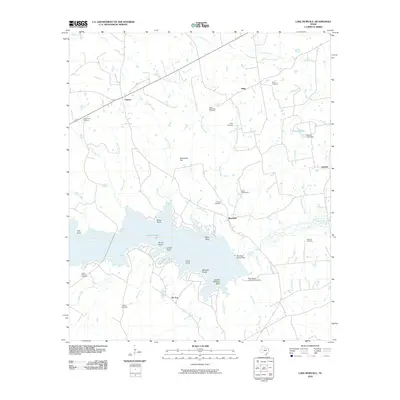
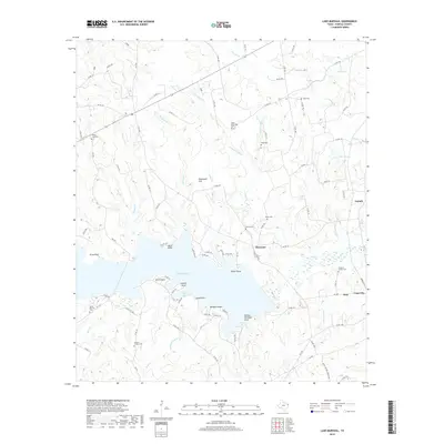
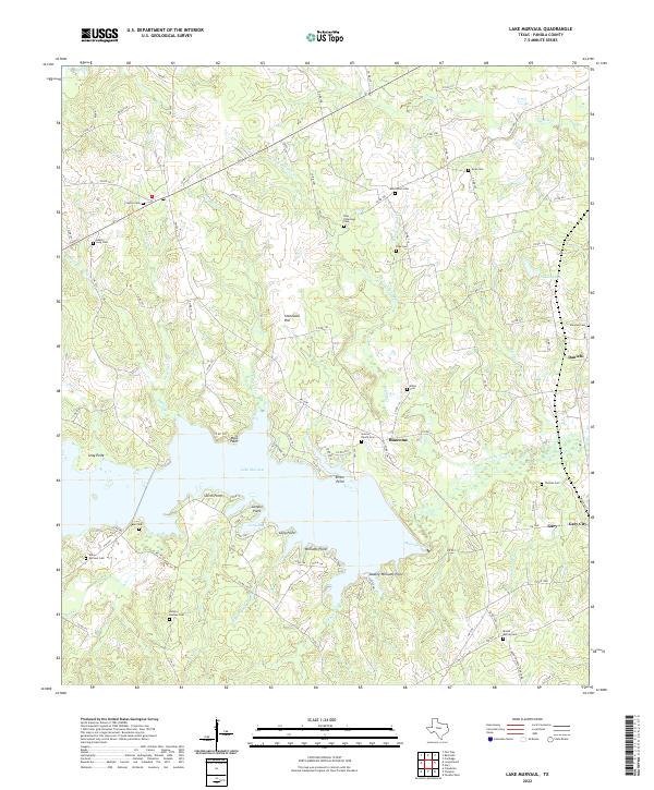 2022 Lake Murvaul2022 Print · USGSPanola County, Texas, is shown in the early 2020s as a landscape of rural communities and the sprawling waters of Lake Murvaul. Genealogists and local historians can trace dozens of legacy sites including Heath Cem, Graves Ranch Cem, and the settlement at Gary City.
End of results
Showing maps 1-16 of 16
Top cities near Gary City
- Carthage historical maps
- Center historical maps
- Timpson historical maps
- Tenaha historical maps
- Garrison historical maps
- Beckville historical maps
Top neighborhoods of Gary City
Frequently asked questions
- What are the different types of historical maps available for Gary City?
- What is the oldest map of Gary City?
- Where can I purchase historical maps of Gary City for my home or office?
- Where can I download high-res historical maps of Gary City?
- Are there historical topographic maps available for Gary City?
- Is there historical aerial imagery available for Gary City?
- Where are historical maps of Gary City sourced from?