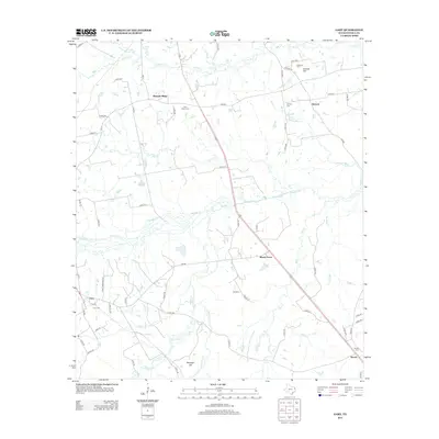
2013 Map of Gary
USGS Topo · Published 2013About this map
Gary and the surrounding rural communities of Panola County are defined by a complex drainage network where Murvaul Cr and its many tributaries, including Brushy Cr and Nail Cr, wind through the timbered landscape. The settlement pattern is deeply rooted in local family history, as evidenced by several namesake burial grounds such as Gary Taylor Cem and Anderson Cem. This 2013 survey illustrates the modern road network, including FM-10 and FM-999, which connects dispersed communities like Antioch and Shady Grove. Notable topographic rises like Sixmile Hill and Risinger Hill break the gently undulating terrain, while water features like Calhoun Lake and the meandering Holmes Bayou reflect the wet bottomlands characteristic of this part of East Texas.
Find a feature on this map
70 named features on this map. Tap any name to fly to it.
Don’t see what you’re looking for? This feature index may not catch every label — zoom into the map to look around manually.
Map Details
Editions of this 2013 Gary Map
This is the sole edition of this map. No revisions or reprints were ever made.
Other maps of this area
1945 · Socagee Bayou
USGS Topo · 1:62,500

1953 · Palestine
USGS Topo · 1:250,000

1956 · Tyler
USGS Topo · 1:250,000
1956 · Deadwood
USGS Topo · 1:62,500

1957 · Palestine
USGS Topo · 1:250,000
1958 · Center
USGS Topo · 1:62,500
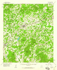
1958 · Timpson
USGS Topo · 1:62,500
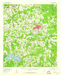
1958 · Carthage
USGS Topo · 1:62,500
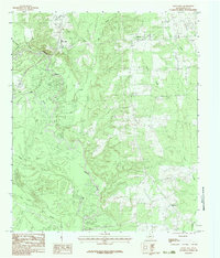
1983 · River Hill
USGS Topo · 1:24,000
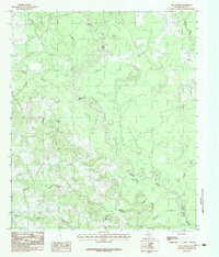
1983 · Old Center
USGS Topo · 1:24,000