Old Maps of Alamo Ranchettes Colonia, Texas for Academic Research
Study the evolution of Alamo Ranchettes Colonia with 13 high-resolution historic maps. Whether you're teaching, researching, or modeling changes in land use, these maps provide essential visual documentation of urban, environmental, and geographic change.
- Analyze long-term change: Track patterns in development, transportation, and natural features.
- Ideal for environmental or urban studies: Support academic projects with primary historical map data.
- Use in the classroom or lab: Educators and researchers rely on these maps to bring historical context to life.
These maps are a powerful tool for teaching, research, and visualizing how Alamo Ranchettes Colonia has changed over the decades.
Alamo Ranchettes Colonia, TX maps
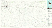
(13)- 1921 Map of Fort Stockton, 1965 Print
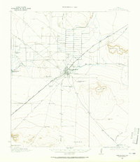 1921 Fort Stockton1965 Print · USGSPecos County ranching and rail life are documented here during the early twenties, centered on the hub of Fort Stockton. Genealogists and historians can locate family landmarks like the Odom Ranch, Old Martin Place, and rural Leon Valley School.
 - 1923 Map of Fort Stockton
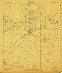 1923 Fort Stockton1923 Print · USGSWest Texas ranching and rail commerce thrive in this early 1920s portrait of Pecos County. Genealogists and historians can locate family-named landmarks like Brannon Ranch and Odom Ranch or trace the early paths of the Kansas City Mexico and Orient railroad.
 - 1928 Map of Comanche Spring
 1928 Comanche Spring1928 Print · USGSWest Texas ranching and transportation intersect in the late twenties near the historic waters of Comanche Spring. Researchers can trace early highway routes like the Old Spanish Trail and find remote rail sidings at Elsinore and Scharbaugh.
 - 1954 Map of Fort Stockton, 1965 Print
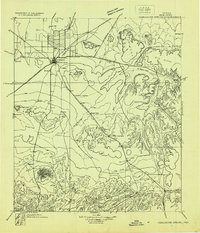
 1954 Fort Stockton1965 Print · USGSWest Texas ranching and the early energy industry converge in this mid-century survey of the Trans-Pecos. Genealogists and historians can locate specific family lands like Graef Brothers Ranch and trace the paths of the Old Spanish Trail and the Southern Pacific railroad.3 unique versions available
 - 1958 Map of Fort Stockton
 1958 Fort Stockton1958 Print · USGSThe Trans-Pecos region of West Texas in the late fifties is a landscape of vast mesas and isolated ranching hubs. Genealogists and historians can trace the paths of the Texas and New Orleans RR through Alpine or locate early settlements like Bakersfield and Sanderson.
 - 1970 Map of Twelvemile Mesa, 1973 Print
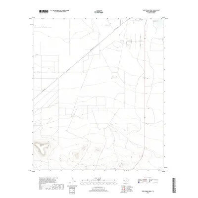
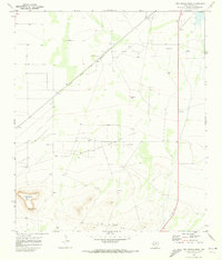 1970 Twelvemile Mesa1973 Print · USGSPecos County was a hub of energy production in the early seventies as oil and gas operations expanded across the valley. Researchers can trace the Atchison Topeka and Santa Fe rail line as it passes Fivemile Hill and the Leon Valley Oil and Gas Field.
 - 1973 Map of Fort Stockton, 1974 Print
 1973 Fort Stockton1974 Print · USGSThe Trans-Pecos region of West Texas comes alive in the early seventies, from the desert flats of the Stockton Plateau to the heights of the Davis Mountains. Researchers can trace the legacy of frontier outposts and rail lines through Fort Davis Nat Hist Site, Alpine, and the Southern Pacific RR.
 - 1985 Map of Fort Stockton, 1986 Print
 1985 Fort Stockton1986 Print · USGSFort Stockton and the surrounding West Texas mesas are captured here in the mid-1980s, revealing a landscape of ranching, rail, and energy. Genealogists and historians can trace local landmarks like the Cem, the City-County Airport, and the settlement of Bakersfield.2 unique versions available
 - 2010 Map of Twelvemile Mesa, 2010 Print
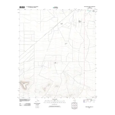 2010 Twelvemile Mesa2010 Print · USGSCovers Alamo Ranchettes Colonia, including Pecos County, United States, and other nearby areas
 - 2012 Map of Twelvemile Mesa, 2012 Print
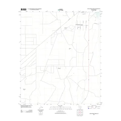 2012 Twelvemile Mesa2012 Print · USGSCovers Alamo Ranchettes Colonia, including Pecos County, United States, and other nearby areas
 - 2016 Map of Twelvemile Mesa, 2016 Print
 2016 Twelvemile Mesa2016 Print · USGSCovers Alamo Ranchettes Colonia, including Pecos County, United States, and other nearby areas
 - 2019 Map of Twelvemile Mesa, 2019 Print
 2019 Twelvemile Mesa2019 Print · USGSCovers Alamo Ranchettes Colonia, including Pecos County, United States, and other nearby areas
 - 2022 Map of Twelvemile Mesa, 2022 Print
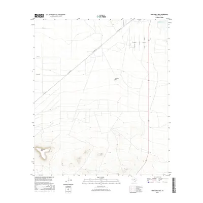
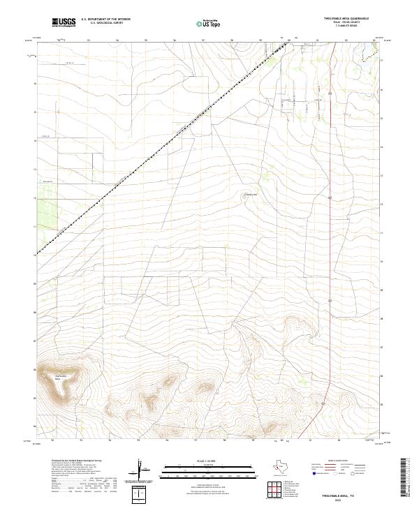 2022 Twelvemile Mesa2022 Print · USGSThis Pecos County landscape shows the outskirts of Fort Stockton as it appeared recently, where the desert flats meet the rising slopes of Twelvemile Mesa. Researchers can trace the extension of local streets like N Travis St and the historic path of the Old Alpine Hwy.
End of results
Showing maps 1-13 of 13
Top cities near Alamo Ranchettes Colonia
Frequently asked questions
- What are the different types of historical maps available for Alamo Ranchettes Colonia?
- What is the oldest map of Alamo Ranchettes Colonia?
- Where can I purchase historical maps of Alamo Ranchettes Colonia for my home or office?
- Where can I download high-res historical maps of Alamo Ranchettes Colonia?
- Are there historical topographic maps available for Alamo Ranchettes Colonia?
- Is there historical aerial imagery available for Alamo Ranchettes Colonia?
- Where are historical maps of Alamo Ranchettes Colonia sourced from?