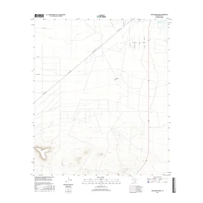
2016 Map of Twelvemile Mesa
USGS Topo · Published 2016About this map
Twelvemile Mesa stands as a prominent elevation in this Trans-Pecos landscape, marking a significant topographic rise south of the developing outskirts of Fort Stockton. The terrain transition is sharp, moving from the flat drainage of Comanche Cr Reservoir in the northeast to the high ground of Fivemile Hill. The map documents a residential pattern of ranchettes and long-lot subdivisions, particularly evident along Alamo Rd, W Alamo Rd, and the grid of streets including N Travis St and N Austin. This spatial organization reflects the late 20th and early 21st-century expansion of rural living in Pecos County, where historical transportation corridors like the Old Alpine Hwy now serve as the primary arteries connecting these isolated homesteads and private roads to the larger region.
Find a feature on this map
16 named features on this map. Tap any name to fly to it.
Don’t see what you’re looking for? This feature index may not catch every label — zoom into the map to look around manually.
Map Details
Editions of this 2016 Twelvemile Mesa Map
This is the sole edition of this map. No revisions or reprints were ever made.
Other maps of this area
1921 · Fort Stockton
USGS Topo · 1:62,500
1923 · Fort Stockton
USGS Topo · 1:62,500
1923 · Sierra Madera
USGS Topo · 1:62,500
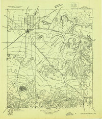
1928 · Comanche Spring
USGS Topo · 1:125,000
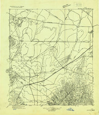
1929 · Hovey
USGS Topo · 1:125,000

1954 · Fort Stockton
USGS Topo · 1:250,000
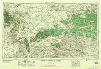
1958 · Fort Stockton
USGS Topo · 1:250,000
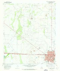
1970 · Fort Stockton West
USGS Topo · 1:24,000
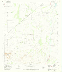
1970 · Twelvemile Mesa
USGS Topo · 1:24,000
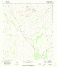
1970 · Fivemile Mesa
USGS Topo · 1:24,000