Old Maps of Coyanosa, Texas for Genealogy
Trace your family roots with 10 historic maps of Coyanosa. These high-res maps reveal old neighborhoods, homesites, landmarks, and streets — helping you uncover where your ancestors lived and how the area evolved over time.
- Explore historic neighborhoods: Identify where your relatives may have lived in the 1800s or 1900s.
- Compare maps over time: Trace the changes in streets, buildings, and landmarks for multi-generational research.
- Perfect for genealogy & ancestry research: Used by family historians and researchers to map out lineage and migration.
These maps are an incredible resource for exploring your personal connection to Coyanosa's past.
Coyanosa, TX maps
(10)- 1931 Map of Barstow
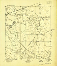 1931 Barstow1931 Print · USGSWest Texas ranching and early oil exploration meet along the Pecos River during the early thirties. Trace family ranch sites like Eclipse Ranch and Courtney Ranch or locate early rural education hubs at Welcome School.
 - 1954 Map of Pecos, 1964 Print
 1954 Pecos1964 Print · USGSMid-century West Texas reveals a landscape of expanding oil fields and cattle ranching along the winding Pecos River. Local historians can trace family ranch lands like Goodrich Ranch, follow the Texas and Pacific rails, or locate the historic Horsehead Crossing.3 unique versions available
 - 1957 Map of Pecos
 1957 Pecos1957 Print · USGSWest Texas in the mid-fifties is a landscape of desert oil fields and vital rail corridors. Researchers can trace the sprawling Pyote Air Force Base, the historic Horsehead Crossing, and the rail stops at Mentone and Saragosa.
 - 1974 Map of Coyanosa, 1977 Print
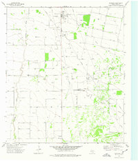 1974 Coyanosa1977 Print · USGSPecos County industrial and agricultural life converge in the mid-1970s near Coyanosa. Researchers can trace the development of the Coyanosa Gas Field alongside local landmarks like the Rodeo Ground and Moore-Gilmore Airfield.
 - 1986 Map of Pecos
 1986 Pecos1986 Print · USGSWest Texas in the mid-eighties reveals a landscape of desert draws and growing energy infrastructure centered on the Pecos River. Researchers can trace old rail lines, family burials at Mount Evergreen Cem, and rural outposts like Toyah or Saragosa.2 unique versions available
 - 2010 Map of Coyanosa, 2010 Print
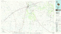
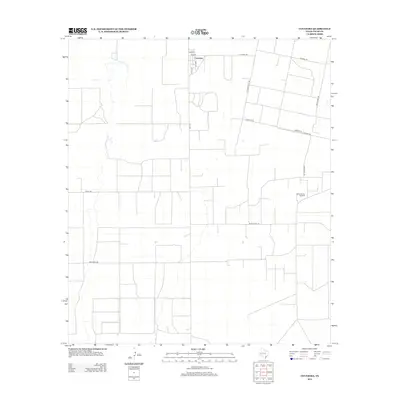
 2010 Coyanosa2010 Print · USGSCovers Coyanosa, including Pecos County, United States, and other nearby areas
 - 2012 Map of Coyanosa, 2012 Print
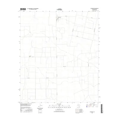
 2012 Coyanosa2012 Print · USGSCovers Coyanosa, including Pecos County, United States, and other nearby areas
 - 2016 Map of Coyanosa, 2016 Print
 2016 Coyanosa2016 Print · USGSCovers Coyanosa, including Pecos County, United States, and other nearby areas
 - 2019 Map of Coyanosa, 2019 Print
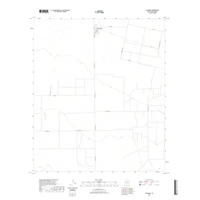 2019 Coyanosa2019 Print · USGSCovers Coyanosa, including Pecos County, United States, and other nearby areas
 - 2022 Map of Coyanosa, 2022 Print
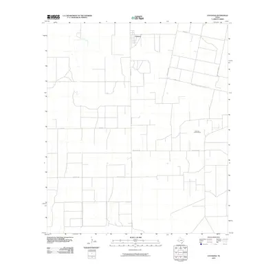
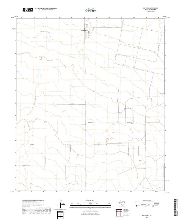 2022 Coyanosa2022 Print · USGSThe West Texas settlement of Coyanosa is documented in this 2022 survey, showcasing its role as a hub for local ranching and energy infrastructure. Researchers can trace the development of the high desert landscape through features like Coyanosa Draw, Mobil Plant Rd, and Ranch Rd 1776.
End of results
Showing maps 1-10 of 10
Top cities near Coyanosa
Frequently asked questions
- What are the different types of historical maps available for Coyanosa?
- What is the oldest map of Coyanosa?
- Where can I purchase historical maps of Coyanosa for my home or office?
- Where can I download high-res historical maps of Coyanosa?
- Are there historical topographic maps available for Coyanosa?
- Is there historical aerial imagery available for Coyanosa?
- Where are historical maps of Coyanosa sourced from?