Old Maps of Ady, Texas for Metal Detecting
Plan your next treasure hunt with 11 historic maps of Ady. Find old homesites, ghost towns, trails, and gathering spots that may be lost to time — perfect for identifying promising metal detecting locations.
- Locate forgotten sites: Uncover places like long-lost settlements, abandoned rail lines, or gathering spots.
- Plan better hunts: Use map overlays combined with LiDAR or satellite views to narrow in on historically rich areas.
- Made for detectorists: Thousands of hobbyists use these maps to discover relics, coins, and hidden history.
Use these historic maps to boost your research and find new opportunities beneath the surface of Ady.
Ady, TX maps
(11)- 1934 Map of Ady, 1958 Print
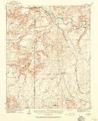 1934 Ady1958 Print · USGSThe Texas Panhandle ranchlands along the Canadian River were defined by isolated water holes and railroad spurs during the 1930s. Researchers can locate named sites like L S Ranch, Bivins River Camp, and the Old Blackburn Place.2 unique versions available
 - 1936 Map of Ady
 1936 Ady1936 Print · USGSPotter and Oldham Counties are shown here during the mid-1930s, when the cattle industry and the railroad defined life along the Canadian River. Genealogists and historians can locate early homesteads like Old Blackburn Place and ranching landmarks such as L S Ranch or the Tecovas Spring Fryingpan Ranch.
 - 1954 Map of Tucumcari, 1965 Print
 1954 Tucumcari1965 Print · USGSThe high plains along the New Mexico and Texas border come alive in this mid-century survey, just as the regional highway network was maturing. Trace the historic route of U.S. 66 through Glenrio and San Jon or locate remote rail sidings like Rehm Station and Obar.2 unique versions available
 - 1958 Map of Tucumcari
 1958 Tucumcari1958 Print · USGSEastern New Mexico and the Texas Panhandle meet in this mid-century survey of the high plains ranching and rail corridor. Researchers can trace the path of Mother Road travelers through Tucumcari and Glenrio or locate remote rail stops like Nara Visa Station and Hartley Station.
 - 1966 Map of Ady, 1969 Print
 1966 Ady1969 Print · USGSThe ranching country of the Texas Panhandle comes alive in this mid-1960s survey of the Canadian River valley. Researchers can trace the legacy of the LS Ranch, locate the settlement of Ady, and find remote water sources like Lost Tubs Springs and Eagle Camp.
 - 1985 Map of Vega, 1986 Print
 1985 Vega1986 Print · USGSThe Texas Panhandle is captured in the mid-eighties as the cattle and rail economy shaped the landscape from the Canadian River breaks to the southern plains. Researchers can trace the Atchison Topeka and Santa Fe line through Vega and Wildorado or locate landmarks like the Old Railroad Grade and Bivins Lake.2 unique versions available
 - 2010 Map of Ady, 2010 Print
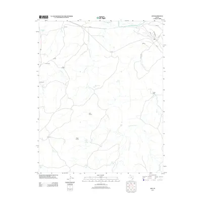
 2010 Ady2010 Print · USGSCovers Ady, including Potter County, Oldham County, and other nearby areas
 - 2012 Map of Ady, 2012 Print
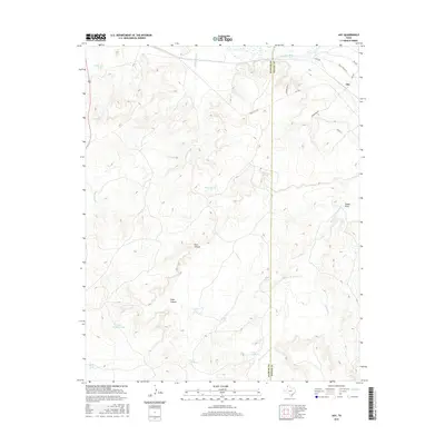
 2012 Ady2012 Print · USGSCovers Ady, including Potter County, Oldham County, and other nearby areas
 - 2016 Map of Ady, 2016 Print
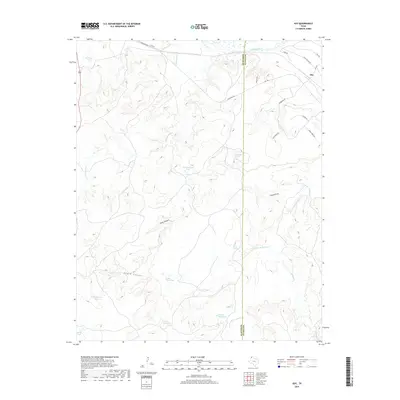
 2016 Ady2016 Print · USGSCovers Ady, including Potter County, Oldham County, and other nearby areas
 - 2019 Map of Ady, 2019 Print
 2019 Ady2019 Print · USGSCovers Ady, including Potter County, Oldham County, and other nearby areas
 - 2022 Map of Ady, 2022 Print
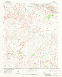
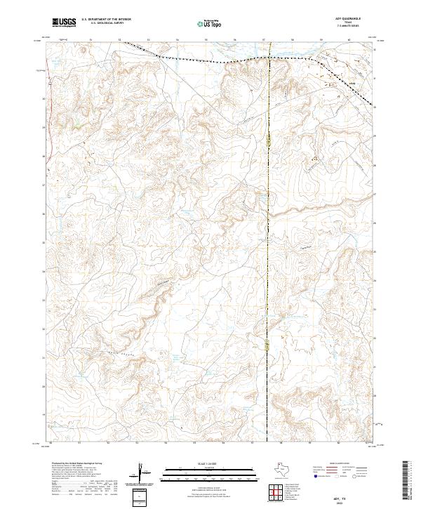 2022 Ady2022 Print · USGSCattle ranching and canyonlands define this Oldham County corner during the early twenty-first century. Researchers can trace the rugged Panhandle terrain through named landmarks like Rock Canyon, the settlement at Ady, and vital water sources such as Lost Tubs Springs.
End of results
Showing maps 1-11 of 11
Top cities near Ady
Frequently asked questions
- What are the different types of historical maps available for Ady?
- What is the oldest map of Ady?
- Where can I purchase historical maps of Ady for my home or office?
- Where can I download high-res historical maps of Ady?
- Are there historical topographic maps available for Ady?
- Is there historical aerial imagery available for Ady?
- Where are historical maps of Ady sourced from?