Old Maps of Presidio, Texas
Explore 17 old maps of Presidio, spanning from 1896 to today. These high-resolution historic maps reveal how streets, neighborhoods, landmarks, and natural features evolved over time — perfect for genealogy, metal detecting, research, and local history exploration.
What you can do with these maps:
- See how Presidio changed over time: Compare historical maps to modern-day views to trace roads, homesites, rail lines & more.
- View detailed metadata: Each map includes creators, publishers, year, scale, and archive source.
- Overlay maps with satellite & LiDAR: Visualize the past alongside modern tools to explore terrain & human change.
- Trusted historical sources: Maps sourced from the USGS, Library of Congress, and other archives.
- Access maps your way: View online, download high-res files, or order prints for personal or research use.
Start exploring old maps of Presidio to uncover forgotten places, hidden landmarks, and the deep history beneath your feet.
Presidio, TX maps
(17)- 1896 Map of Shafter
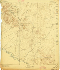 1896 Shafter1896 Print · USGSHigh-desert mining and ranching define the Trans-Pecos frontier along the border in the late nineteenth century. Trace family names at Poole's Ranch and Bogle's Ranch, or locate silver works like the Ross Mine near Shafter.5 unique versions available
 - 1959 Map of Presidio, 1969 Print
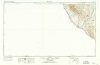 1959 Presidio1969 Print · USGSThe Texas-Mexico borderlands come into focus in the late fifties, showing a landscape defined by the Rio Grande and remote mining outposts. Researchers can trace the Atchison Topeka and Santa Fe rail line or locate historic sites like Old Fort Leaton (ruins) and the Shafter Mine.2 unique versions available
 - 1965 Map of Presidio
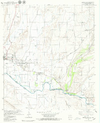
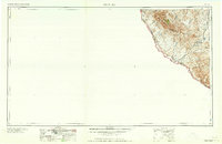 1965 Presidio1965 Print · USGSThe Big Bend borderlands appear in the mid-sixties as a rugged landscape of high-altitude ranching and retired mines. Trace the river road to the Old Fort Leaton ruins or locate family landmarks like Alamo Ranch and the Shafter Mine.
 - 1979 Map of Presidio West
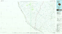
 1979 Presidio West1979 Print · USGSThe Texas-Mexico border landscape comes into focus during the late seventies at the meeting of the Conchos and the Rio Grande. Local historians can trace the twin-city infrastructure of Presidio and Ojinaga, including the Toll Bridge, Haciendita Cem, and the Estación Ojinaga rail terminal.
 - 1979 Map of Presidio East
 1979 Presidio East1979 Print · USGSThe Texas-Chihuahua borderlands come into focus in the late seventies as the international boundary follows the Rio Grande Rio Bravo. Genealogists and historians can trace the Atchison Topeka and Santa Fe rail line, Presidio Cem, and the historic Fort Leaton State Historic Site.2 unique versions available
 - 1985 Map of Presidio
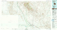
 1985 Presidio1985 Print · USGSThe Big Bend borderlands come into focus in the 1980s as the rail lines of the Atchison Topeka and Santa Fe reach the Rio Grande. Historians can trace mining operations at Shafter and Burney Mine or locate river outposts like Adobes.
 - 1993 Map of Presidio
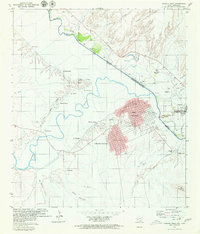
 1993 Presidio1993 Print · USGSThe Texas-Mexico border comes into focus in this early 1990s study of the river valley and desert peaks. Researchers can trace historic mining operations at the Shafter Mine, explore the remote settlement of Ruidosa, and follow the seasonal flow of Cibolo Creek.2 unique versions available
 - 2010 Map of Presidio West, 2010 Print
 2010 Presidio West2010 Print · USGSCovers Presidio, including Ojinaga, El Tecolote, and other nearby areas
 - 2010 Map of Presidio East, 2010 Print
 2010 Presidio East2010 Print · USGSCovers Presidio, including Ojinaga, Presidio County, and other nearby areas
 - 2012 Map of Presidio West, 2012 Print
 2012 Presidio West2012 Print · USGSCovers Presidio, including Ojinaga, El Tecolote, and other nearby areas
 - 2012 Map of Presidio East, 2012 Print
 2012 Presidio East2012 Print · USGSCovers Presidio, including Ojinaga, Presidio County, and other nearby areas
 - 2016 Map of Presidio West, 2016 Print
 2016 Presidio West2016 Print · USGSCovers Presidio, including Ojinaga, El Tecolote, and other nearby areas
 - 2016 Map of Presidio East, 2016 Print
 2016 Presidio East2016 Print · USGSCovers Presidio, including Ojinaga, Presidio County, and other nearby areas
 - 2019 Map of Presidio East, 2019 Print
 2019 Presidio East2019 Print · USGSCovers Presidio, including Ojinaga, Presidio County, and other nearby areas
 - 2019 Map of Presidio West, 2019 Print
 2019 Presidio West2019 Print · USGSCovers Presidio, including Ojinaga, El Tecolote, and other nearby areas
 - 2022 Map of Presidio West, 2022 Print
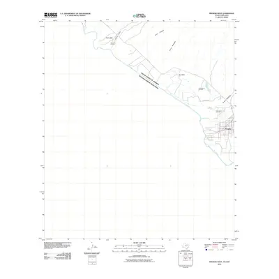
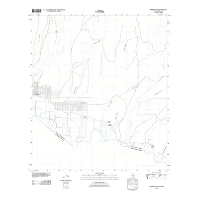
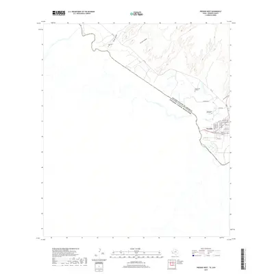
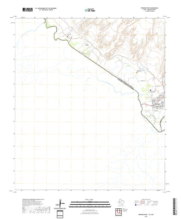 2022 Presidio West2022 Print · USGSPresidio and the international border along the Rio Grande are captured here in the early 2020s. Researchers can locate family sites like Haciendita Cem and the Santa Teresa Church Cem near the confluence of Cibolo Cr.
 - 2022 Map of Presidio East, 2022 Print
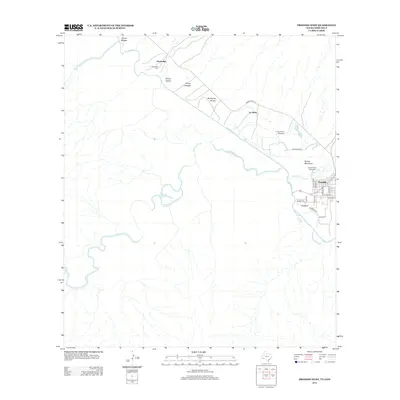
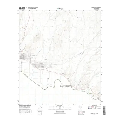
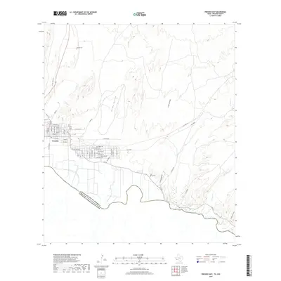
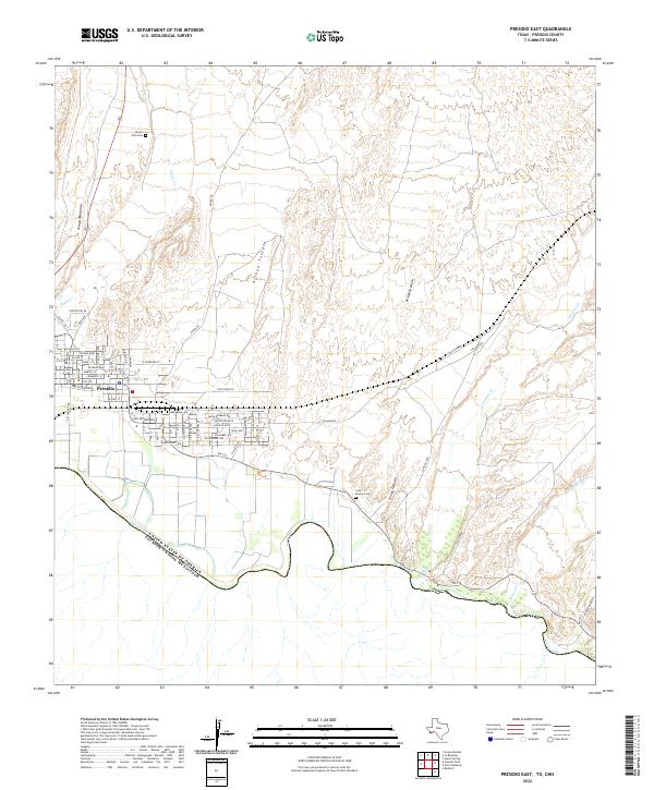 2022 Presidio East2022 Print · USGSPresidio sits at the international border in the early 2020s, where the desert floor meets the winding banks of the Rio Grande. Genealogists and local historians can locate Desert Hills Cemetery, trace the path of Alamito Creek, and study the residential layout of Presidio along FM 170.
End of results
Showing maps 1-17 of 17
Top cities near Presidio
Frequently asked questions
- What are the different types of historical maps available for Presidio?
- What is the oldest map of Presidio?
- Where can I purchase historical maps of Presidio for my home or office?
- Where can I download high-res historical maps of Presidio?
- Are there historical topographic maps available for Presidio?
- Is there historical aerial imagery available for Presidio?
- Where are historical maps of Presidio sourced from?