2000s (21st Century) Maps of Presidio, Texas
Explore 10 historic maps of Presidio from the 2000s (21st Century). These maps offer a rare glimpse into what life looked like during the 2000s — showing old roads, neighborhoods, homes, and landmarks that have changed or disappeared over time.
Whether you're researching your family's past, planning a metal detecting trip, or studying how Presidio's landscape evolved across the 2000s, these high-resolution maps are a powerful tool for exploring the history of this region.
- Focus on a specific era: All maps on this page are from the 2000s, giving you a focused view of this time period.
- See what’s changed: Compare century-old streets, trails, and buildings to today's modern landscape using overlays and satellite layers.
- Research with precision: Use these maps for genealogy, historical research, land use analysis, or educational projects.
- View, download, or print: Maps are fully viewable online in high resolution, and can be downloaded or printed for your own records.
Start exploring Presidio's history through authentic maps from the 2000s. This is your window into the past.
Presidio, TX maps
(10)- 2010 Map of Presidio West, 2010 Print
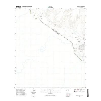
 2010 Presidio West2010 Print · USGSCovers Presidio, including Ojinaga, El Tecolote, and other nearby areas
 - 2010 Map of Presidio East, 2010 Print
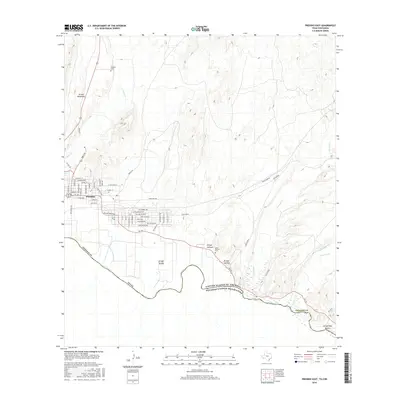
 2010 Presidio East2010 Print · USGSCovers Presidio, including Ojinaga, Presidio County, and other nearby areas
 - 2012 Map of Presidio West, 2012 Print
 2012 Presidio West2012 Print · USGSCovers Presidio, including Ojinaga, El Tecolote, and other nearby areas
 - 2012 Map of Presidio East, 2012 Print
 2012 Presidio East2012 Print · USGSCovers Presidio, including Ojinaga, Presidio County, and other nearby areas
 - 2016 Map of Presidio West, 2016 Print
 2016 Presidio West2016 Print · USGSCovers Presidio, including Ojinaga, El Tecolote, and other nearby areas
 - 2016 Map of Presidio East, 2016 Print
 2016 Presidio East2016 Print · USGSCovers Presidio, including Ojinaga, Presidio County, and other nearby areas
 - 2019 Map of Presidio East, 2019 Print
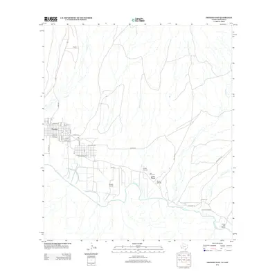
 2019 Presidio East2019 Print · USGSCovers Presidio, including Ojinaga, Presidio County, and other nearby areas
 - 2019 Map of Presidio West, 2019 Print
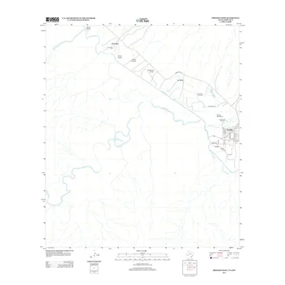
 2019 Presidio West2019 Print · USGSCovers Presidio, including Ojinaga, El Tecolote, and other nearby areas
 - 2022 Map of Presidio West, 2022 Print
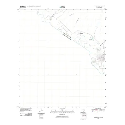
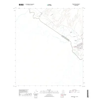
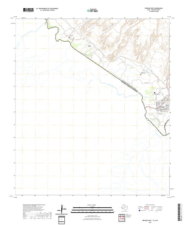 2022 Presidio West2022 Print · USGSPresidio and the international border along the Rio Grande are captured here in the early 2020s. Researchers can locate family sites like Haciendita Cem and the Santa Teresa Church Cem near the confluence of Cibolo Cr.
 - 2022 Map of Presidio East, 2022 Print
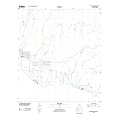
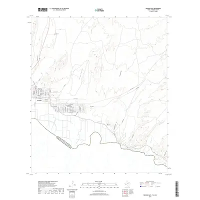
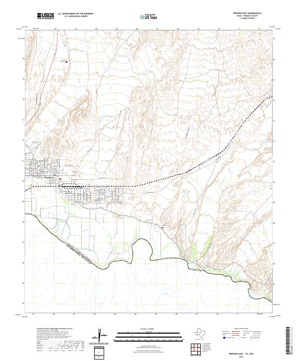 2022 Presidio East2022 Print · USGSPresidio sits at the international border in the early 2020s, where the desert floor meets the winding banks of the Rio Grande. Genealogists and local historians can locate Desert Hills Cemetery, trace the path of Alamito Creek, and study the residential layout of Presidio along FM 170.
End of results
Showing maps 1-10 of 10
Top cities near Presidio
Frequently asked questions
- What are the different types of historical maps available for Presidio?
- What is the oldest map of Presidio?
- Where can I purchase historical maps of Presidio for my home or office?
- Where can I download high-res historical maps of Presidio?
- Are there historical topographic maps available for Presidio?
- Is there historical aerial imagery available for Presidio?
- Where are historical maps of Presidio sourced from?