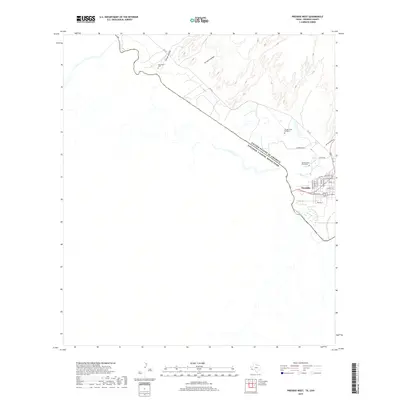
2019 Map of Presidio West
USGS Topo · Published 2019About this map
Presidio serves as the primary hub along the international border, where the Rio Grande separates the United States of America and Estados Unidos Mexicanos. The landscape is defined by the braided path of the river and a series of ephemeral drainages including Arroyo Chillon, Arroyo Cnangas, and Cibolo Cr that cut through the desert terrain. To the northwest, the small settlement of Haciendita sits near a local Cemetery, while the eastern portion of the map identifies specific family-named sites such as Campo Santo Rodriguez and Campo Santo Hernandez. The street grid of Presidio is clearly delineated, showing a network of local thoroughfares like O'Reilly St, Market St, and Rosedale Ave that branch off from FM 170. This map captures the modern layout of this critical border crossing, detailing how residential growth interacts with the natural washes and the historic river boundary.
Find a feature on this map
26 named features on this map. Tap any name to fly to it.
Don’t see what you’re looking for? This feature index may not catch every label — zoom into the map to look around manually.
Map Details
Editions of this 2019 Presidio West Map
This is the sole edition of this map. No revisions or reprints were ever made.
Other maps of this area

1896 · Ruidosa
USGS Topo · 1:125,000

1896 · Polvo
USGS Topo · 1:125,000

1896 · Shafter
USGS Topo · 1:125,000

1959 · Presidio
USGS Topo · 1:250,000

1965 · Presidio
USGS Topo · 1:250,000

1978 · La Boquilla
USGS Topo · 1:24,000
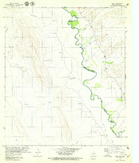
1979 · Indio
USGS Topo · 1:24,000
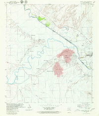
1979 · Presidio West
USGS Topo · 1:24,000

1979 · Presidio East
USGS Topo · 1:24,000

1980 · Arroyo Melado
USGS Topo · 1:24,000