Old Maps of Bois d'Arc, Texas for Genealogy
Trace your family roots with 10 historic maps of Bois d'Arc. These high-res maps reveal old neighborhoods, homesites, landmarks, and streets — helping you uncover where your ancestors lived and how the area evolved over time.
- Explore historic neighborhoods: Identify where your relatives may have lived in the 1800s or 1900s.
- Compare maps over time: Trace the changes in streets, buildings, and landmarks for multi-generational research.
- Perfect for genealogy & ancestry research: Used by family historians and researchers to map out lineage and migration.
These maps are an incredible resource for exploring your personal connection to Bois d'Arc's past.
Bois d'Arc, TX maps
(10)- 1956 Map of Tyler
 1956 Tyler1956 Print · USGSEast Texas was a powerhouse of oil production and rail transport during the mid-fifties, centered on the sprawling East Texas Oil Field. Researchers can trace the heritage of industrial hubs like Kilgore, military sites such as the Longhorn Ordnance Works, and many rural landmarks like Mount Enterprise.5 unique versions available
 - 1956 Map of Emory, 1957 Print
 1956 Emory1957 Print · USGSRains County and its neighbors are shown here in the mid-fifties, just as the Sabine River valley prepared for the construction of the Iron Bridge Damsite. Genealogists can trace family roots through numerous small landmarks like Bright Star Ch, Cody Sch, and Parks Cem.3 unique versions available
 - 1984 Map of Tyler
 1984 Tyler1984 Print · USGSEast Texas at the peak of its reservoir-building era shows a landscape defined by new lakes and established rail corridors. Trace the path of the St Louis Southwestern RR or locate industrial sites like the Longhorn Ordnance Works.3 unique versions available
 - 1985 Map of Mineola
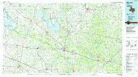 1985 Mineola1985 Print · USGSUpper East Texas in the mid-eighties shows a region shaped by the Sabine River and large-scale water projects. Researchers can trace the rail heritage of the Missouri Pacific RR and locate rural landmarks like Ambassador College Res or the Oil Field.
 - 1991 Map of Mineola
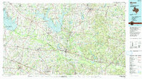 1991 Mineola1991 Print · USGSEast Texas in the early nineties reveals a landscape shaped by large-scale water reservoirs and the enduring footprint of the oil industry. Genealogists and historians can trace rail-town development in Mineola or explore smaller settlements like Bright Star and Garden Valley.
 - 2011 Map of Lone Oak South, 2011 Print
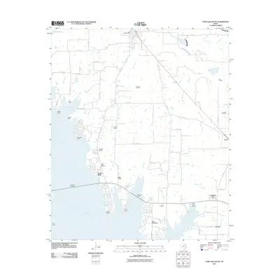 2011 Lone Oak South2011 Print · USGSCovers Bois d'Arc, including West Tawakoni, East Tawakoni, and other nearby areas
 - 2012 Map of Lone Oak South, 2012 Print
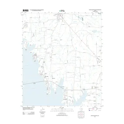 2012 Lone Oak South2012 Print · USGSCovers Bois d'Arc, including West Tawakoni, East Tawakoni, and other nearby areas
 - 2016 Map of Lone Oak South, 2016 Print
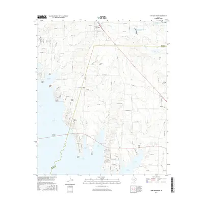 2016 Lone Oak South2016 Print · USGSCovers Bois d'Arc, including West Tawakoni, East Tawakoni, and other nearby areas
 - 2019 Map of Lone Oak South, 2019 Print
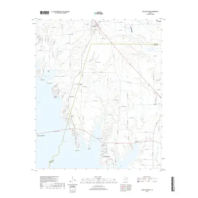 2019 Lone Oak South2019 Print · USGSCovers Bois d'Arc, including West Tawakoni, East Tawakoni, and other nearby areas
 - 2022 Map of Lone Oak South, 2022 Print
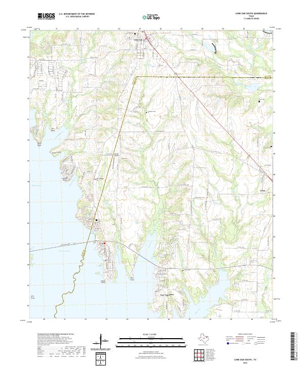 2022 Lone Oak South2022 Print · USGSThe Rains and Hunt County line at the dawn of the 2020s shows a landscape of deep reservoir coves and high-ground settlements. Genealogists and historians can trace local family roots through numerous sites like McMahan Cem, Hooker Cem, and Clark Cem.
End of results
Showing maps 1-10 of 10
Top cities near Bois d'Arc
- Greenville historical maps
- Wills Point historical maps
- Grand Saline historical maps
- Caddo Mills historical maps
- West Tawakoni historical maps
- West Tawakoni historical maps
See more
Frequently asked questions
- What are the different types of historical maps available for Bois d'Arc?
- What is the oldest map of Bois d'Arc?
- Where can I purchase historical maps of Bois d'Arc for my home or office?
- Where can I download high-res historical maps of Bois d'Arc?
- Are there historical topographic maps available for Bois d'Arc?
- Is there historical aerial imagery available for Bois d'Arc?
- Where are historical maps of Bois d'Arc sourced from?