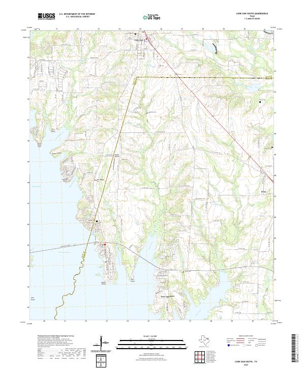
2022 Map of Lone Oak South
USGS Topo · Published 2022About this map
The eastern shores of Lake Tawakoni dominate this Rains County landscape, where the reservoir's complex fingers form deep inlets such as Sycamore Cove and Cowleech Reach. At the time of this 2022 survey, the area reflects a transition from the traditional ranching lands of Buffalo Mesa to the waterfront developments of East Tawakoni. The settlement patterns are deeply tied to the terrain, with residential clusters positioned along the numerous points and ridges, including Hooker Ridge and Thunder Point. Local heritage is preserved in a significant number of family and community burial grounds scattered across the county line, from the northern Lone Oak Cem down to Lynch Cem near the southern shore. Aviation and transportation infrastructure like Reeder Airport and the network of Farm to Market roads provide vital links between the rural uplands and the growing lakeside communities.
Find a feature on this map
99 named features on this map. Tap any name to fly to it.
Don’t see what you’re looking for? This feature index may not catch every label — zoom into the map to look around manually.
Map Details
Editions of this 2022 Lone Oak South Map
This is the sole edition of this map. No revisions or reprints were ever made.
Other maps of this area

1953 · Texarkana
USGS Topo · 1:250,000

1954 · Dallas
USGS Topo · 1:250,000

1954 · Sherman
USGS Topo · 1:250,000

1956 · Texarkana
USGS Topo · 1:250,000

1956 · Tyler
USGS Topo · 1:250,000

1956 · Quinlan
USGS Topo · 1:62,500

1956 · Emory
USGS Topo · 1:62,500

1958 · Dallas
USGS Topo · 1:250,000

1958 · Sherman
USGS Topo · 1:250,000

1962 · Greenville SE
USGS Topo · 1:24,000