Old Maps of Big Lake, Texas for Academic Research
Study the evolution of Big Lake with 12 high-resolution historic maps. Whether you're teaching, researching, or modeling changes in land use, these maps provide essential visual documentation of urban, environmental, and geographic change.
- Analyze long-term change: Track patterns in development, transportation, and natural features.
- Ideal for environmental or urban studies: Support academic projects with primary historical map data.
- Use in the classroom or lab: Educators and researchers rely on these maps to bring historical context to life.
These maps are a powerful tool for teaching, research, and visualizing how Big Lake has changed over the decades.
Big Lake, TX maps
(12)- 1920 Map of Big Lake, 1965 Print
 1920 Big Lake1965 Print · USGSReagan County ranching and rail life are preserved in this early twentieth-century survey of the West Texas plains. Researchers can trace historic family-named landholdings like Carroll Ranch and the route of the Kansas City Mexico and Orient railroad.
 - 1922 Map of Big Lake
 1922 Big Lake1922 Print · USGSBig Lake and the surrounding West Texas ranchlands are captured here in the early 1920s as the railroad drove local growth. Genealogists and historians can trace family-named sites like Luther Ranch and Wilson Ranch along the historic Sheffield Road.
 - 1954 Map of San Angelo, 1967 Print
 1954 San Angelo1967 Print · USGSThe Concho Valley and eastern Permian Basin transition from ranching to a burgeoning oil economy during the mid-twentieth century. Trace the expansion of San Angelo near Goodfellow AFB and locate old crossroads like Stiles, Texon, and Barnhart along the SANTA FE railroad.2 unique versions available
 - 1958 Map of San Angelo
 1958 San Angelo1958 Print · USGSWest Texas in the late fifties centers on the growing hub of San Angelo and its vital river confluences. Genealogists and historians can trace the paths of the Santa Fe railroad to outposts like Fort Chadbourne, Big Lake, and the specialized community of Sanatorium.
 - 1965 Map of San Angelo
 1965 San Angelo1965 Print · USGSWest Texas in the mid-sixties reveals a landscape shaped by the petroleum industry and strategic water management. Genealogists and historians can trace the rail corridor through Texon and Big Lake, or locate military landmarks like Goodfellow AFB and Broome Air Force Auxiliary Airfield.
 - 1971 Map of Big Lake, 1974 Print
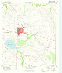 1971 Big Lake1974 Print · USGSBig Lake at the start of the 1970s reflects a community deeply integrated with the West Texas oil economy. Researchers can trace the town's mid-century footprint near Glen Rest Cem, the local Rodeo Ground, and the Drive-in Theater along the Santa Fe rail line.
 - 1986 Map of Big Lake, 1993 Print
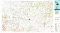 1986 Big Lake1993 Print · USGSReagan County in the mid-eighties was a landscape defined by the Permian Basin energy boom and the steel rails of the Santa Fe line. Researchers can trace the sprawling footprints of the Big Lake Oil Field and Stiles Oil Field alongside historic rail stops like Texon and Santa Rita.
 - 2010 Map of Big Lake, 2010 Print
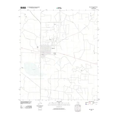 2010 Big Lake2010 Print · USGSReagan County's petroleum and ranching landscape is on display in this survey of the Permian Basin at the start of the 2010s. Researchers can trace the town’s grid near Glen Rest Cemetery and examine the sprawling network of the John Scott Oil Field and Price Oil Field.
 - 2013 Map of Big Lake, 2013 Print
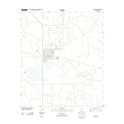 2013 Big Lake2013 Print · USGSTexas oil and ranching land come into focus in this Reagan County survey from the early 2010s. Researchers can trace the layout of Big Lake, find family roots at Glen Rest Cem, and locate the expansive John Scott Oil Field.
 - 2016 Map of Big Lake, 2016 Print
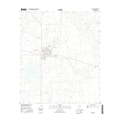 2016 Big Lake2016 Print · USGSThe West Texas town of Big Lake is documented here in the mid-2010s, showing its structured grid alongside the namesake seasonal water body. Genealogists and researchers can locate Glen Rest Cem and trace the development of neighborhood streets like Reagan St and S Railroad St.
 - 2019 Map of Big Lake, 2019 Print
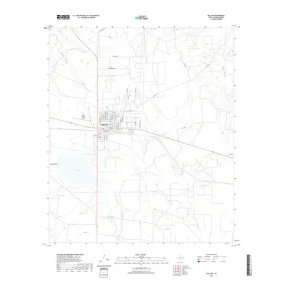 2019 Big Lake2019 Print · USGSReagan County's namesake seat is captured here in the late twenty-teens, showing the town's expansion alongside the vital rail corridor. Genealogists and local researchers can trace family landmarks like the Glen Rest Cemetery or navigate the town grid from North Main Ave to the Reagan County Airport.
 - 2022 Map of Big Lake, 2022 Print
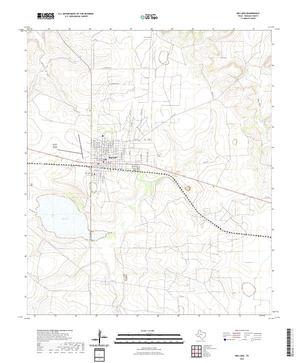 2022 Big Lake2022 Print · USGSThe Reagan County seat is captured here in the early twenty-first century, showing the intersection of civic life and the high plains landscape. Genealogists and local historians can trace the town grid from the Reagan County Courthouse to the Glen Rest Cem.
End of results
Showing maps 1-12 of 12
Frequently asked questions
- What are the different types of historical maps available for Big Lake?
- What is the oldest map of Big Lake?
- Where can I purchase historical maps of Big Lake for my home or office?
- Where can I download high-res historical maps of Big Lake?
- Are there historical topographic maps available for Big Lake?
- Is there historical aerial imagery available for Big Lake?
- Where are historical maps of Big Lake sourced from?