Old Maps of Pueblo Vitoria, Texas for Academic Research
Study the evolution of Pueblo Vitoria with 12 high-resolution historic maps. Whether you're teaching, researching, or modeling changes in land use, these maps provide essential visual documentation of urban, environmental, and geographic change.
- Analyze long-term change: Track patterns in development, transportation, and natural features.
- Ideal for environmental or urban studies: Support academic projects with primary historical map data.
- Use in the classroom or lab: Educators and researchers rely on these maps to bring historical context to life.
These maps are a powerful tool for teaching, research, and visualizing how Pueblo Vitoria has changed over the decades.
Pueblo Vitoria, TX maps
(12)- 1894 Map of Fort Davis, 1961 Print
 1894 Fort Davis1961 Print · USGSWest Texas in the late nineteenth century was a frontier of family ranching and vital springs. Genealogists and historians can trace the early locations of Fort Davis and numerous homesteads like Wards Ranch, Mahle's Ranch, and Huelster.
 - 1897 Map of Fort Davis
 1897 Fort Davis1897 Print · USGSWest Texas ranching life and mountain topography are preserved in this 1890s survey centered on the frontier outpost of Fort Davis. Researchers can trace early family landholdings and essential water sites like Wards Ranch, Toyahvale, and Phantom Lake.3 unique versions available
 - 1954 Map of Fort Stockton, 1965 Print
 1954 Fort Stockton1965 Print · USGSWest Texas ranching and the early energy industry converge in this mid-century survey of the Trans-Pecos. Genealogists and historians can locate specific family lands like Graef Brothers Ranch and trace the paths of the Old Spanish Trail and the Southern Pacific railroad.3 unique versions available
 - 1958 Map of Fort Stockton
 1958 Fort Stockton1958 Print · USGSThe Trans-Pecos region of West Texas in the late fifties is a landscape of vast mesas and isolated ranching hubs. Genealogists and historians can trace the paths of the Texas and New Orleans RR through Alpine or locate early settlements like Bakersfield and Sanderson.
 - 1972 Map of Toyahvale, 1976 Print
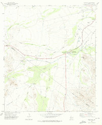 1972 Toyahvale1976 Print · USGSReeves County in the early seventies is revealed as a desert landscape transformed by vital water systems and springs. Genealogists and local historians can trace irrigation networks like the Main Canal and locate sites like Pueblo Vitoria and Balmorhea Cem.
 - 1973 Map of Fort Stockton, 1974 Print
 1973 Fort Stockton1974 Print · USGSThe Trans-Pecos region of West Texas comes alive in the early seventies, from the desert flats of the Stockton Plateau to the heights of the Davis Mountains. Researchers can trace the legacy of frontier outposts and rail lines through Fort Davis Nat Hist Site, Alpine, and the Southern Pacific RR.
 - 1985 Map of Fort Davis, 1994 Print
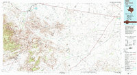 1985 Fort Davis1994 Print · USGSWest Texas in the mid-eighties shows a landscape of high desert peaks and vital spring-fed irrigation. Trace the development of Toyahvale and Balmorhea, or locate specific landmarks like the Fort Davis National Historic Site and Robbers Roost.2 unique versions available
 - 2010 Map of Toyahvale, 2010 Print
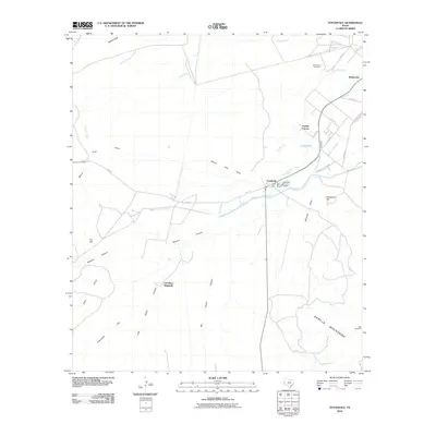 2010 Toyahvale2010 Print · USGSToyahvale and Balmorhea are seen here during the early twenty-first century, centered on the historic desert springs and irrigation networks. Researchers can trace the complex water systems from Giffin Springs to Pueblo Vitoria and locate the Balmorhea Cemetery.
 - 2012 Map of Toyahvale, 2012 Print
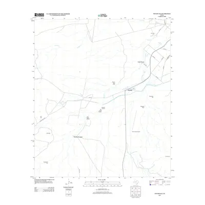 2012 Toyahvale2012 Print · USGSToyahvale and the surrounding spring-fed plains are captured here in the early twenty-first century, showcasing a landscape defined by desert water management. Researchers can trace historic irrigation routes through the Main Canal and Madera Diversion Canal, or locate landmarks like Pueblo Vitoria and Balmorhea Cem.
 - 2016 Map of Toyahvale, 2016 Print
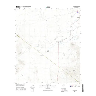 2016 Toyahvale2016 Print · USGSReeves County water management and desert terrain are on display in this mid-2010s study of the Balmorhea area. Researchers can trace irrigation networks like the Main Canal and Phantom Lake Canal alongside local landmarks such as Balmorhea Cem and San Solomon Spring.
 - 2019 Map of Toyahvale, 2019 Print
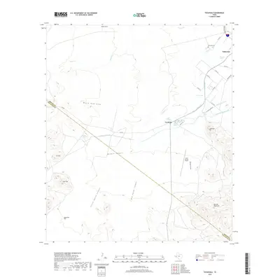 2019 Toyahvale2019 Print · USGSThe desert oasis of Toyahvale and Balmorhea is captured here in the late twenty-tens, showcasing a vital network of spring-fed irrigation. Trace the flow of water from San Solomon Spring through the Main Canal or locate local landmarks like Balmorhea Cem and Seven Springs Airport.
 - 2022 Map of Toyahvale, 2022 Print
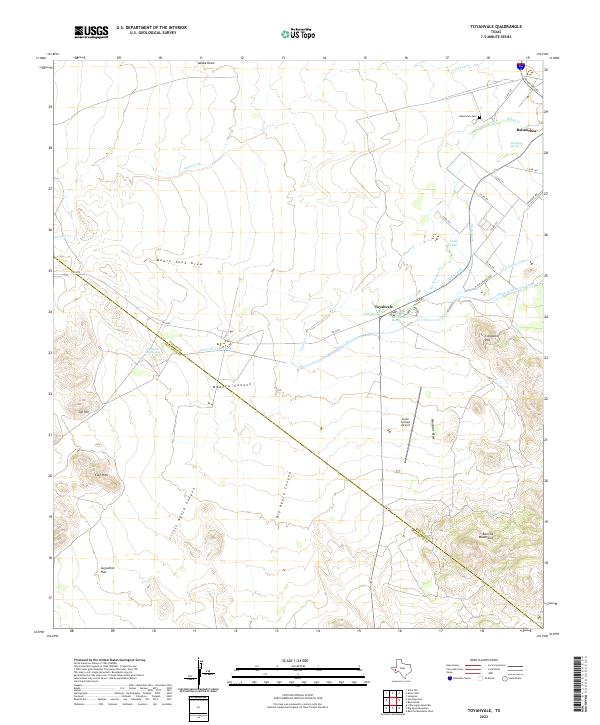 2022 Toyahvale2022 Print · USGSThe desert oases of Reeves County are centered here at the southern edge of the Toyah Basin. Researchers can trace the complex irrigation networks of the Madera Diversion Canal and Main Canal or locate local landmarks like San Solomon Spring and Balmorhea Cem.
End of results
Showing maps 1-12 of 12
Top cities near Pueblo Vitoria
Frequently asked questions
- What are the different types of historical maps available for Pueblo Vitoria?
- What is the oldest map of Pueblo Vitoria?
- Where can I purchase historical maps of Pueblo Vitoria for my home or office?
- Where can I download high-res historical maps of Pueblo Vitoria?
- Are there historical topographic maps available for Pueblo Vitoria?
- Is there historical aerial imagery available for Pueblo Vitoria?
- Where are historical maps of Pueblo Vitoria sourced from?