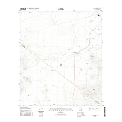
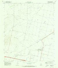
2016 Map of Toyahvale
USGS Topo · Published 2016About this map
Toyahvale and the southern edge of Balmorhea anchor this West Texas landscape, where the management of desert water sources is the central geographic theme. The area is defined by an intricate network of irrigation infrastructure, including the Main Canal, Giffin Canal, and the Madera Diversion Canal, which distribute water from vital desert springs. Significant water sources such as San Solomon Spring, Giffin Springs, and Phantom Lake Spring have historically sustained local life and agriculture in this arid environment.
Find a feature on this map
40 named features on this map. Tap any name to fly to it.
Don’t see what you’re looking for? This feature index may not catch every label — zoom into the map to look around manually.
Map Details
Editions of this 2016 Toyahvale Map
This is the sole edition of this map. No revisions or reprints were ever made.
Other maps of this area
1894 · Fort Davis
USGS Topo · 1:125,000
1897 · Fort Davis
USGS Topo · 1:125,000
1921 · Toyah
USGS Topo · 1:125,000

1954 · Pecos
USGS Topo · 1:250,000

1954 · Fort Stockton
USGS Topo · 1:250,000
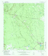
1955 · Saragosa
USGS Topo · 1:62,500
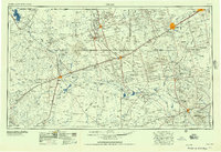
1957 · Pecos
USGS Topo · 1:250,000
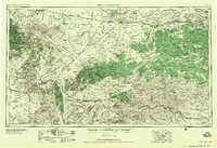
1958 · Fort Stockton
USGS Topo · 1:250,000
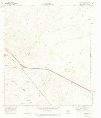
1970 · Sotol Hill
USGS Topo · 1:24,000
1970 · Saragosa
USGS Topo · 1:24,000