Old Maps of Reklaw, Texas for Metal Detecting
Plan your next treasure hunt with 34 historic maps of Reklaw. Find old homesites, ghost towns, trails, and gathering spots that may be lost to time — perfect for identifying promising metal detecting locations.
- Locate forgotten sites: Uncover places like long-lost settlements, abandoned rail lines, or gathering spots.
- Plan better hunts: Use map overlays combined with LiDAR or satellite views to narrow in on historically rich areas.
- Made for detectorists: Thousands of hobbyists use these maps to discover relics, coins, and hidden history.
Use these historic maps to boost your research and find new opportunities beneath the surface of Reklaw.
Reklaw, TX maps
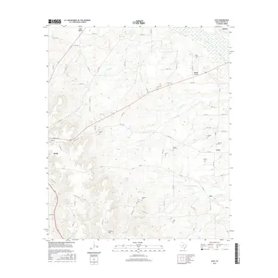
(34)- 1943 Map of Cushing, 1955 Print
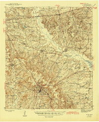
 1943 Cushing1955 Print · USGSCushing and the rural crossroads of East Texas are seen here during the mid-forties as the railroad still anchored the local economy. Researchers can locate vanished rural landmarks like Freekeytown or trace the Southern Pacific line through Sacul and Reklaw.
 - 1943 Map of Rusk, 1961 Print
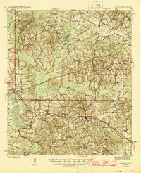
 1943 Rusk1961 Print · USGSEast Texas in the early 1940s reveals a landscape of rural communities anchored by local schools and the intersection of major railroads. Trace family roots through specific landmarks like Iron Hill Sch, Earl Chapel, and the vast grounds of the State Hospital.
 - 1945 Map of Cushing
 1945 Cushing1945 Print · USGSEast Texas farm and timber country thrives during the mid-forties along the borders of Nacogdoches, Rusk, and Cherokee counties. Genealogists can trace family roots through numerous rural landmarks like Mays Cem, Happy Valley Ch, and Glenwood Sch.
 - 1945 Map of Rusk
 1945 Rusk1945 Print · USGSCherokee County at the close of World War II shows a landscape deeply connected by the Southern Pacific and Missouri Pacific railroads. Researchers can trace rural life through dozens of local landmarks like Henry Cem, Bagley Chapel, and the community at Dialville.2 unique versions available
 - 1953 Map of Palestine, 1964 Print
 1953 Palestine1964 Print · USGSEast Texas was defined by its deep pine forests and burgeoning energy sector in the mid-1950s. Genealogists and historians can trace the rail-and-river economy through settlements like Tennessee Colony and Pollok or explore the early footprints of the Cayuga Oil Field and Davy Crockett National Forest.2 unique versions available
 - 1957 Map of Palestine
 1957 Palestine1957 Print · USGSEast Texas in the mid-fifties reveals a landscape of deep pine forests and winding river valleys before the era of massive reservoir construction. Researchers can trace the legacy of the timber and rail industries through labels for the Missouri Pacific RR, Davy Crockett National Forest, and Nacogdoches.
 - 1973 Map of New Summerfield, 1976 Print
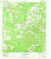
 1973 New Summerfield1976 Print · USGSCherokee County in the early seventies reveals a landscape of timbered hills and quiet railroad sidings. Genealogists can trace family connections at Union Hill Cem and Walkers Chapel Cem or locate the historic rail junctions at Ponta and Stryker Creek Junction.
 - 1973 Map of Atoy, 1976 Print
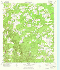 1973 Atoy1976 Print · USGSEast Texas rural life in the 1970s centers on timbered hills and quiet settlements like Atoy and Circle. Genealogists and historians can trace family locations through Walker Cem and Cornelius Cem, or locate landmarks like Jim Hogg State Park.
 - 1973 Map of New Salem, 1976 Print
 1973 New Salem1976 Print · USGSThe border of Rusk and Cherokee counties in the early 1970s shows a landscape of East Texas timber and industry. Trace the legacy of rural communities at New Salem and Anadarko, alongside historic sites like Cool Springs Cem and the Southern Pacific railroad.
 - 1973 Map of Reklaw, 1976 Print
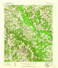
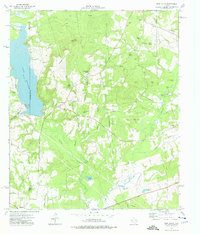
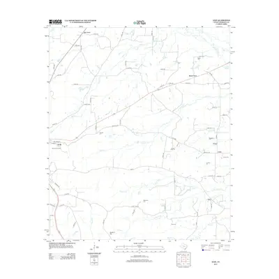
 1973 Reklaw1976 Print · USGSThe rural tri-county borderlands of East Texas are captured here in the 1970s, as the Southern Pacific rail line linked small timber and farming outposts. Genealogists can locate family landmarks like Looney Cem and McKnight Ch, or trace the old paths near Dextra.
 - 1981 Map of Palestine
 1981 Palestine1981 Print · USGSEast Texas was a crossroads of timber, rail, and energy in the early eighties, centered on the bustling junction at Palestine. Researchers can trace family roots through rural landmarks like Old Pioneer Cem, Lynch Academy, and Hudson Chapel.
 - 1984 Map of Palestine
 1984 Palestine1984 Print · USGSEast Texas in the mid-eighties reveals a landscape of massive reservoirs and protected timberlands between Palestine and Nacogdoches. Researchers can trace old routes like the Missouri Pacific RR and locate rural communities such as Tennessee Colony, Latexo, and Etoile.3 unique versions available
 - 1986 Map of Nacogdoches
 1986 Nacogdoches1986 Print · USGSDeep in the East Texas Piney Woods during the mid-eighties, this landscape centers on Nacogdoches and the sprawling Toledo Bend Reservoir. Genealogists can trace family footprints at Sulphur Springs Cem, Oak Grove Ch, and the many small settlements like Reklaw and Sacul.
 - 1992 Map of Nacogdoches
 1992 Nacogdoches1992 Print · USGSEast Texas timberlands and river valleys are captured here in the early nineties, centered on the historic regional hub of Nacogdoches. Trace family roots and old rail lines through Cushing, San Augustine, and Logansport along the Southern Pacific RR.
 - 2010 Map of Reklaw, 2010 Print
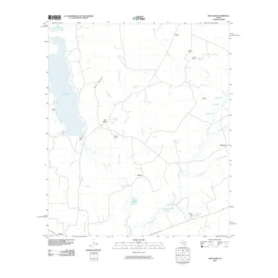
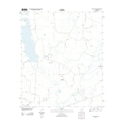
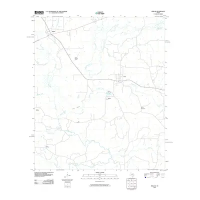 2010 Reklaw2010 Print · USGSCovers Reklaw, including Dextra, Sacul, and other nearby areas
 - 2010 Map of New Salem, 2010 Print
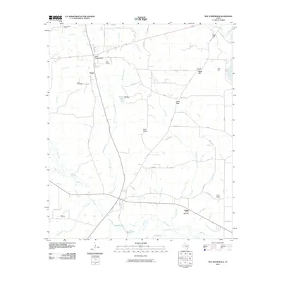
 2010 New Salem2010 Print · USGSCovers Reklaw, including New Salem, Fairview, and other nearby areas
 - 2010 Map of New Summerfield, 2010 Print
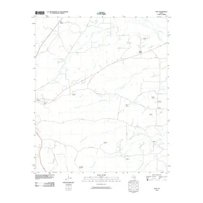
 2010 New Summerfield2010 Print · USGSCovers Reklaw, including New Summerfield, Ponta, and other nearby areas
 - 2010 Map of Atoy, 2010 Print
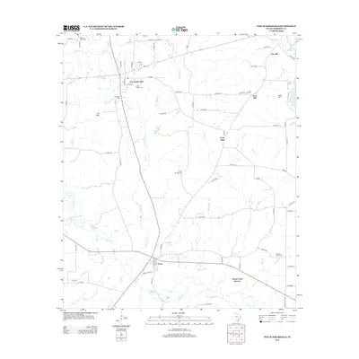
 2010 Atoy2010 Print · USGSCovers Reklaw, including Rusk, Circle, and other nearby areas
 - 2013 Map of New Summerfield, 2013 Print
 2013 New Summerfield2013 Print · USGSCovers Reklaw, including New Summerfield, Ponta, and other nearby areas
 - 2013 Map of Atoy, 2013 Print
 2013 Atoy2013 Print · USGSCovers Reklaw, including Rusk, Circle, and other nearby areas
 - 2013 Map of New Salem, 2013 Print
 2013 New Salem2013 Print · USGSCovers Reklaw, including New Salem, Fairview, and other nearby areas
 - 2013 Map of Reklaw, 2013 Print
 2013 Reklaw2013 Print · USGSCovers Reklaw, including Dextra, Sacul, and other nearby areas
 - 2016 Map of New Salem, 2016 Print
 2016 New Salem2016 Print · USGSCovers Reklaw, including New Salem, Fairview, and other nearby areas
 - 2016 Map of New Summerfield, 2016 Print
 2016 New Summerfield2016 Print · USGSCovers Reklaw, including New Summerfield, Ponta, and other nearby areas
 - 2016 Map of Atoy, 2016 Print
 2016 Atoy2016 Print · USGSCovers Reklaw, including Rusk, Circle, and other nearby areas
Showing maps 1-25 of 34
Top cities near Reklaw
- Jacksonville historical maps
- Rusk historical maps
- Alto historical maps
- New Summerfield historical maps
- Cushing historical maps
- Gallatin historical maps
Frequently asked questions
- What are the different types of historical maps available for Reklaw?
- What is the oldest map of Reklaw?
- Where can I purchase historical maps of Reklaw for my home or office?
- Where can I download high-res historical maps of Reklaw?
- Are there historical topographic maps available for Reklaw?
- Is there historical aerial imagery available for Reklaw?
- Where are historical maps of Reklaw sourced from?