2000s (21st Century) Maps of San Augustine County, Texas
Explore 106 historic maps of San Augustine County from the 2000s (21st Century). These maps offer a rare glimpse into what life looked like during the 2000s — showing old roads, neighborhoods, homes, and landmarks that have changed or disappeared over time.
Whether you're researching your family's past, planning a metal detecting trip, or studying how San Augustine County's landscape evolved across the 2000s, these high-resolution maps are a powerful tool for exploring the history of this region.
- Focus on a specific era: All maps on this page are from the 2000s, giving you a focused view of this time period.
- See what’s changed: Compare century-old streets, trails, and buildings to today's modern landscape using overlays and satellite layers.
- Research with precision: Use these maps for genealogy, historical research, land use analysis, or educational projects.
- View, download, or print: Maps are fully viewable online in high resolution, and can be downloaded or printed for your own records.
Start exploring San Augustine County's history through authentic maps from the 2000s. This is your window into the past.
San Augustine County, TX maps
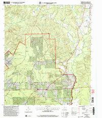
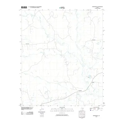
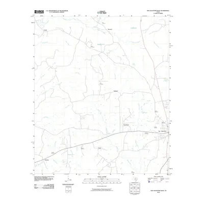
(106)- 2003 Map of Veach, 2004 Print
 2003 Veach2004 Print · USGSSan Augustine and Angelina counties are shown at the turn of the millennium as the reservoir dominates the timberlands. Genealogists can locate family landmarks like New Hope Cem, White City, and Yellow Ridge Ch among the inlets.
 - 2003 Map of Norwood, 2004 Print
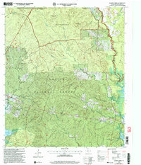
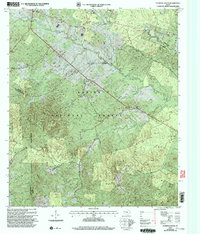
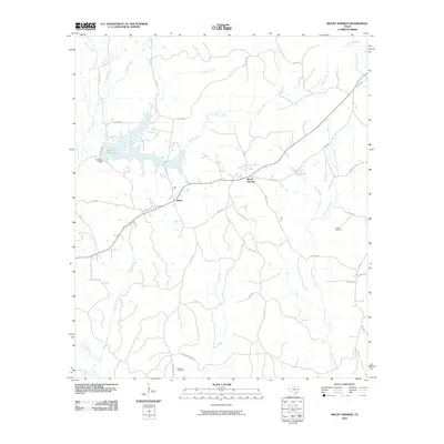
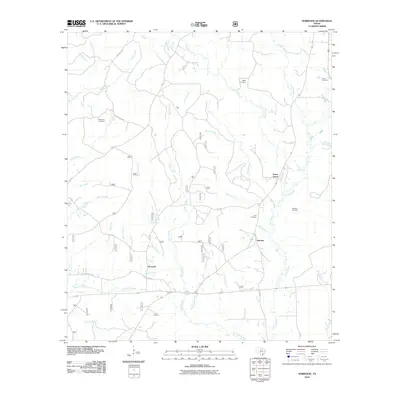
 2003 Norwood2004 Print · USGSDeep in the piney woods of East Texas at the turn of the twenty-first century, this survey traces the rural landscape of San Augustine County. Genealogists and historians can locate the Norwood School and follow the boundaries of the Angelina National Forest.
 - 2003 Map of Harvey Creek, 2004 Print
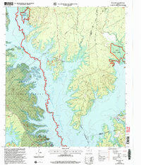
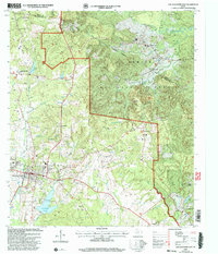
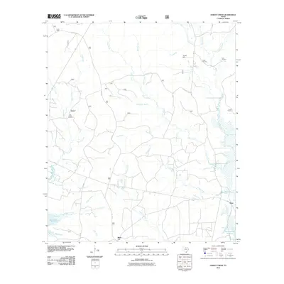
 2003 Harvey Creek2004 Print · USGSSan Augustine County at the turn of the twenty-first century reveals a landscape defined by the deep woods of the Angelina National Forest and the rising waters of the Sam Rayburn Reservoir. Genealogists and local historians can trace scattered settlements and rural landmarks like White City, Macedonia Cem, and Pisgah Ch.
 - 2003 Map of Cassells-Boykin Park, 2004 Print
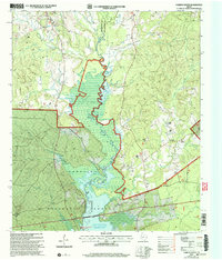
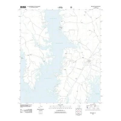
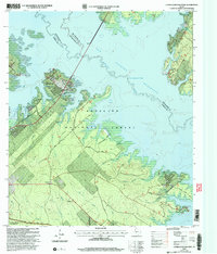 2003 Cassells-Boykin Park2004 Print · USGSAngeline County and the Sam Rayburn Reservoir at the start of the new millennium show a landscape shaped by water and timber. Researchers can trace family sites at Boykin Cem or explore the wooded reaches of Upland Island Wilderness.
 - 2003 Map of Ebenezer, 2004 Print
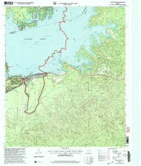
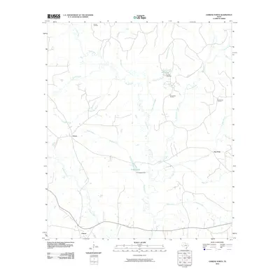
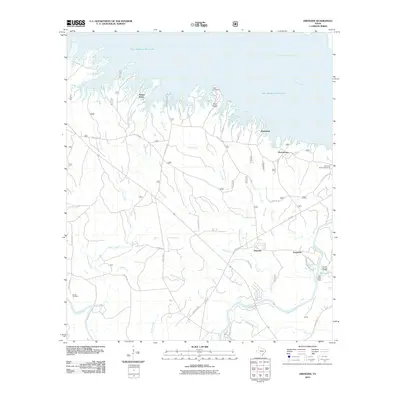
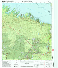 2003 Ebenezer2004 Print · USGSJasper County timberlands and the deep waters of the Angelina River are captured here at the start of the millennium. Researchers can locate family landmarks like Speir Cem and Jordan Cem or trace the early settlement at the Zavala (Historical Site).
 - 2003 Map of Buck Bay, 2004 Print
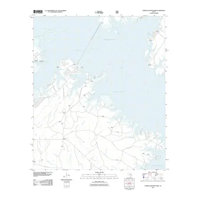
 2003 Buck Bay2004 Print · USGSThe wooded borders of San Augustine and Sabine counties are captured here as the reservoir era matured in East Texas. Researchers can locate historic family burial sites like Lakey Cem and Williams Cem or trace the winding shoreline of Ayish Bayou.
 - 2003 Map of Broaddus, 2004 Print
 2003 Broaddus2004 Print · USGSSan Augustine County's timberlands and the expansive Sam Rayburn Reservoir define this East Texas landscape at the start of the millennium. Researchers can trace historic family burial sites like Lowery Cem and Harvey Cem or locate the community center at Broaddus.
 - 2003 Map of Patroon South, 2004 Print
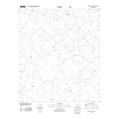
 2003 Patroon South2004 Print · USGSDeep in East Texas during the early 2000s, this forest-heavy landscape reveals the rural settlements and family burial grounds of the border counties. Genealogists can trace sites like Black Ankle, New Jerusalem Ch, and Sweet Cem.
 - 2003 Map of Chireno South, 2004 Print
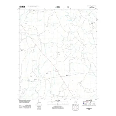
 2003 Chireno South2004 Print · USGSSan Augustine and Nacogdoches counties are captured here at the turn of the millennium, where the Attoyac River valley meets the reservoir. Researchers can trace rural church locations like Antioch Ch and St John Ch or locate the Woolam Cem near the Angelina Forest border.
 - 2003 Map of San Augustine East, 2004 Print
 2003 San Augustine East2004 Print · USGSSan Augustine and the surrounding timberlands of East Texas are documented here in the early 2000s. Genealogists and local historians can trace rural family sites like Whitton Cem, Mt Horeb Ch, and the small settlement of Black Ankle.
 - 2003 Map of McGee Bend, 2004 Print
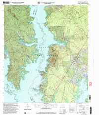
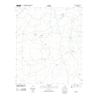
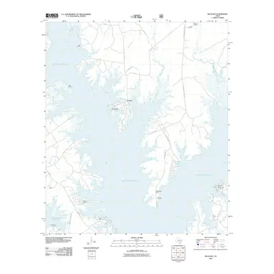
 2003 McGee Bend2004 Print · USGSJasper County at the dawn of the new millennium shows a landscape defined by the waters of the Sam Rayburn Reservoir. Researchers can trace the developed shorelines near Rayburn Country and locate specific facilities like the McGee Bend Dam and Ebenezer Park (COE).
 - 2010 Map of Martinsville, 2010 Print
 2010 Martinsville2010 Print · USGSCovers San Augustine County, including Cedar Point, Waterman, and other nearby areas
 - 2010 Map of Mount Herman, 2010 Print
 2010 Mount Herman2010 Print · USGSCovers San Augustine County, including Mount Herman, Aiken, and other nearby areas
 - 2010 Map of San Augustine West, 2010 Print
 2010 San Augustine West2010 Print · USGSCovers San Augustine County, including San Augustine, Redland, and other nearby areas
 - 2010 Map of Neuville, 2010 Print
 2010 Neuville2010 Print · USGSCovers San Augustine County, including Choice, Jericho, and other nearby areas
 - 2010 Map of Chireno North, 2010 Print
 2010 Chireno North2010 Print · USGSCovers San Augustine County, including Chireno, Attoyac, and other nearby areas
 - 2010 Map of Norwood, 2010 Print
 2010 Norwood2010 Print · USGSCovers San Augustine County, including Norwood, Union Grave, and other nearby areas
 - 2010 Map of Ebenezer, 2010 Print
 2010 Ebenezer2010 Print · USGSCovers San Augustine County, including Ferguson, Parker Point, and other nearby areas
 - 2010 Map of Patroon South, 2010 Print
 2010 Patroon South2010 Print · USGSCovers San Augustine County, including Patroon, Alexanders Store, and other nearby areas
 - 2010 Map of Broaddus, 2010 Print
 2010 Broaddus2010 Print · USGSCovers San Augustine County, including Broaddus, Townsend, and other nearby areas
 - 2010 Map of Chinquapin, 2010 Print
 2010 Chinquapin2010 Print · USGSCovers San Augustine County, including Rebecca, Fords Corner, and other nearby areas
 - 2010 Map of Cassells-Boykin Park, 2010 Print
 2010 Cassells-Boykin Park2010 Print · USGSCovers San Augustine County, including Angelina County, Nacogdoches County, and other nearby areas
 - 2010 Map of Geneva, 2010 Print
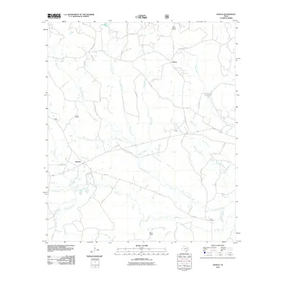 2010 Geneva2010 Print · USGSCovers San Augustine County, including Geneva, Rosevine, and other nearby areas
 - 2010 Map of Harvey Creek, 2010 Print
 2010 Harvey Creek2010 Print · USGSCovers San Augustine County, including White City, Massa, and other nearby areas
 - 2010 Map of Buck Bay, 2010 Print
 2010 Buck Bay2010 Print · USGSCovers San Augustine County, including Parkway, Needmore, and other nearby areas
Showing maps 1-25 of 106
Top cities of San Augustine County
Frequently asked questions
- What are the different types of historical maps available for San Augustine County?
- What is the oldest map of San Augustine County?
- Where can I purchase historical maps of San Augustine County for my home or office?
- Where can I download high-res historical maps of San Augustine County?
- Are there historical topographic maps available for San Augustine County?
- Is there historical aerial imagery available for San Augustine County?
- Where are historical maps of San Augustine County sourced from?