2010s Maps of San Augustine County, Texas
Explore 76 historic maps of San Augustine County from the 2010s. These maps offer a rare glimpse into what life looked like during the 2010s — showing old roads, neighborhoods, homes, and landmarks that have changed or disappeared over time.
Whether you're researching your family's past, planning a metal detecting trip, or studying how San Augustine County's landscape evolved across the 2010s, these high-resolution maps are a powerful tool for exploring the history of this region.
- Focus on a specific era: All maps on this page are from the 2010s, giving you a focused view of this time period.
- See what’s changed: Compare century-old streets, trails, and buildings to today's modern landscape using overlays and satellite layers.
- Research with precision: Use these maps for genealogy, historical research, land use analysis, or educational projects.
- View, download, or print: Maps are fully viewable online in high resolution, and can be downloaded or printed for your own records.
Start exploring San Augustine County's history through authentic maps from the 2010s. This is your window into the past.
San Augustine County, TX maps
(76)- 2010 Map of Martinsville, 2010 Print
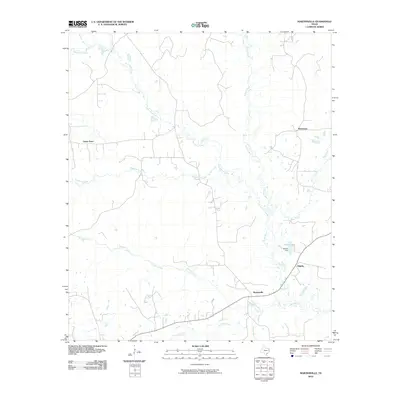 2010 Martinsville2010 Print · USGSEast Texas rural life and river geography are captured here during the first decade of the millennium. Researchers can trace the water-rich landscape from the Attoyac River to local settlements like Martinsville, Grigsby, and the Attoyac Dam.
 - 2010 Map of Mount Herman, 2010 Print
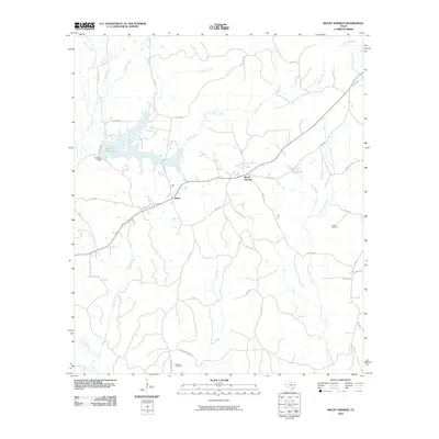 2010 Mount Herman2010 Print · USGSIn the Piney Woods of Shelby County, this 2010 survey shows the rural landscape surrounding the communities of Mount Herman and Aiken. Local historians can trace family land near Lucas Cemetery, Sardis Cemetery, and the banks of Pinkston Reservoir.
 - 2010 Map of San Augustine West, 2010 Print
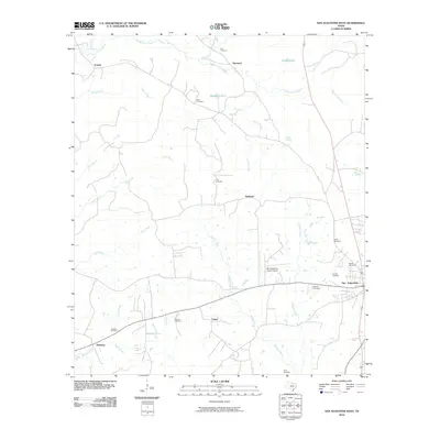 2010 San Augustine West2010 Print · USGSSan Augustine and its western environs are shown here during the early twenty-first century. Genealogists can trace family footprints across several rural burial grounds, including Clay, Lewis, and Moses, while locating small communities like Ironosa and Union.
 - 2010 Map of Neuville, 2010 Print
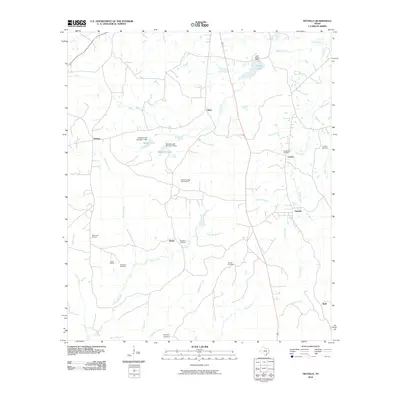 2010 Neuville2010 Print · USGSShelby County, Texas, is captured in this modern survey as a landscape of rural crossroads and persistent family cemeteries. Genealogists and historians can trace the foundations of communities like Neuville, Choice, and Brady alongside sites such as Old Buckner Cemetery and Tabernacle Lookout.
 - 2010 Map of Chireno North, 2010 Print
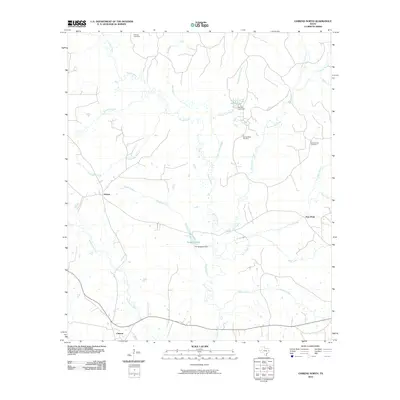 2010 Chireno North2010 Print · USGSEast Texas river bottomlands and rural settlements are documented here during the early twenty-first century. Researchers can trace family sites at Spring Ridge Cemetery and Gethsemane Cemetery or locate old waterworks like the Pat Scoggins Dam.
 - 2010 Map of Norwood, 2010 Print
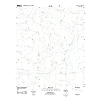 2010 Norwood2010 Print · USGSSan Augustine County at the turn of the decade reveals a landscape of deep-rooted rural communities and family landmarks. Genealogists can trace family heritage through sites like Maryland Cemetery and Hereford Cemetery or locate the settlements of Norwood and Macune.
 - 2010 Map of Ebenezer, 2010 Print
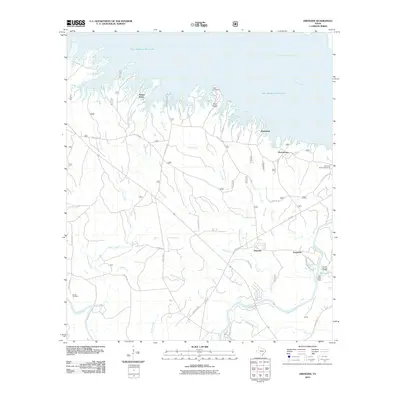 2010 Ebenezer2010 Print · USGSJasper County timberlands and the waters of the Sam Rayburn Reservoir are captured here in the early twenty-first century. Researchers can trace family history at Speir Cemetery or explore established rural communities like Ebenezer and Ferguson.
 - 2010 Map of Patroon South, 2010 Print
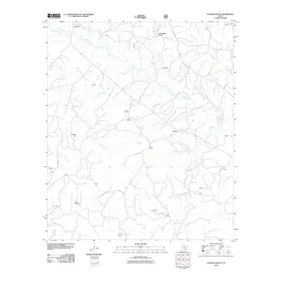 2010 Patroon South2010 Print · USGSShelby County's deep woods and bayou country are captured here during the first decade of the millennium. Genealogists can trace family heritage through numerous burial sites like Sweet Cemetery, Bell Cemetery, and Cordrey Cemetery.
 - 2010 Map of Broaddus, 2010 Print
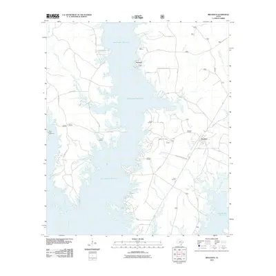 2010 Broaddus2010 Print · USGSThe Angelina River valley in the early twenty-first century is defined by its rural settlements and the sprawling waters of the Sam Rayburn Reservoir. Genealogists can trace family landmarks through several local burial sites, including Smyrna Cemetery, Lee Cemetery, and the Harvey Cemetery.
 - 2010 Map of Chinquapin, 2010 Print
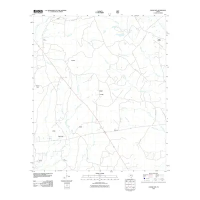 2010 Chinquapin2010 Print · USGSEast Texas rural life in the early twenty-first century is centered around the small crossroads and family cemeteries of San Augustine County. Researchers can trace ancestral lines through Redlands and Head cemeteries or locate the specific reaches of Chinquapin Creek and Sixmile Hollow.
 - 2010 Map of Cassells-Boykin Park, 2010 Print
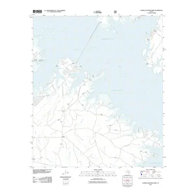 2010 Cassells-Boykin Park2010 Print · USGSAngelina County’s timberlands and reservoir shores are shown here as they appeared in the early 21st century. Researchers can locate family burial sites like Cassels Cemetery and Harvey Cemetery or trace old timber routes along TX Forest Service Road 308.
 - 2010 Map of Geneva, 2010 Print
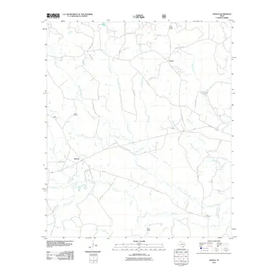 2010 Geneva2010 Print · USGSSabine County’s rural landscape is captured here in the early twenty-first century, centered on the communities of Geneva and Rosevine. Genealogists and local historians can trace family roots at Myrtle Springs Cemetery, Tebo Cemetery, and landmarks along Palo Gaucho Bayou.
 - 2010 Map of Harvey Creek, 2010 Print
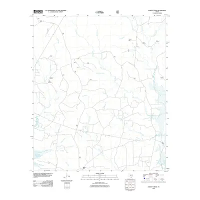 2010 Harvey Creek2010 Print · USGSDeep in the East Texas piney woods during the early twenty-first century, this landscape is defined by the Sam Rayburn Reservoir and the rural community of White City. Researchers can trace old family burial grounds like Macedonia Cemetery and Crow Cemetery among the many branches of Ayish Bayou.
 - 2010 Map of Buck Bay, 2010 Print
 2010 Buck Bay2010 Print · USGSSan Augustine County at the turn of the decade is defined by the expansive waters and winding timbered shorelines of the Sam Rayburn Reservoir. Researchers can locate several historic burial grounds including Parker Cemetery and Blackland Cemetery or trace the rural roads leading to Parkway.
 - 2010 Map of Bronson, 2010 Print
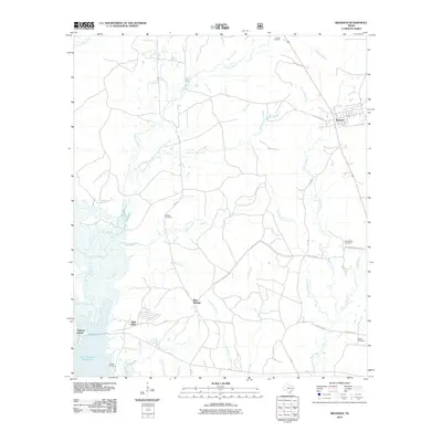 2010 Bronson2010 Print · USGSBronson and the northern reaches of the Sam Rayburn Reservoir are captured here in the early twenty-first century. Genealogists and historians can trace family land proximity to Blue Springs or locate several local burial grounds including Horton Cemetery and Centerview Cemetery.
 - 2010 Map of San Augustine East, 2010 Print
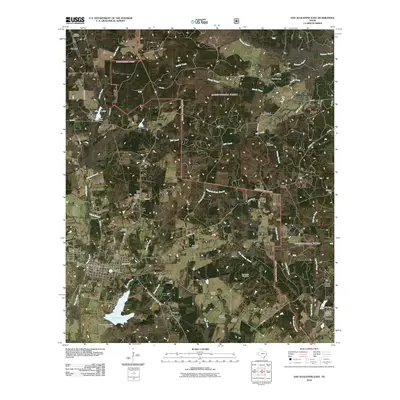 2010 San Augustine East2010 Print · USGSSan Augustine and its eastern surroundings are recorded here at the start of the decade, showing a landscape defined by deep bayous and historic family plots. Researchers can trace rural lineages through Horton Cemetery, Liberty Hill Church, and the settlement at Sunrise.
 - 2010 Map of Chireno South, 2010 Print
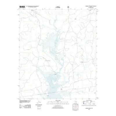 2010 Chireno South2010 Print · USGSThe northern waters of the Sam Rayburn Reservoir meet the East Texas timberlands in this 2010 survey of Nacogdoches County. Researchers can locate family landmarks such as Woolam Cemetery, Saint John Cemetery, and the Cottingham Bridge crossing the Attoyac River.
 - 2010 Map of McGee Bend, 2010 Print
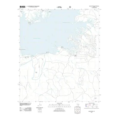 2010 McGee Bend2010 Print · USGSSan Augustine County at the end of the first decade of the 2000s shows a landscape defined by the managed waters of the Sam Rayburn Reservoir. Genealogists and local researchers can pinpoint historical burial sites like Townsend Cemetery and the settlement at Sam Rayburn.
 - 2011 Map of Veach, 2011 Print
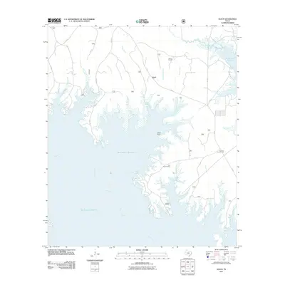 2011 Veach2011 Print · USGSThe Piney Woods of San Augustine County meet the expansive shoreline of the Sam Rayburn Reservoir in this modern survey. Genealogists and local historians can pinpoint family burial sites like New Hope Cemetery and Lucas Cemetery or locate the High Point Lookout Tower.
 - 2012 Map of Geneva, 2012 Print
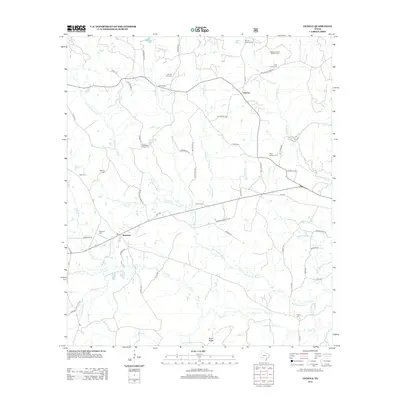 2012 Geneva2012 Print · USGSSabine County in the early twenty-first century retains its rural character, defined by family-named burial grounds and winding bayous. Genealogists can trace family heritage at McMahon's Chapel Cem, King Family Cem, or Payne Williams Cem near the Geneva crossroads.
 - 2012 Map of Patroon South, 2012 Print
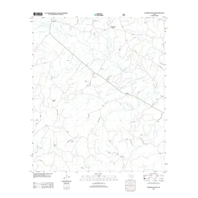 2012 Patroon South2012 Print · USGSShelby County, Texas, is captured here in the early twenty-first century, showcasing a landscape of timbered hills and deep creek valleys. Genealogists can trace family heritage through numerous burial sites like Corinth Cem or Williams Family Cem and the small settlements of Patroon and Sexton.
 - 2013 Map of Ebenezer, 2013 Print
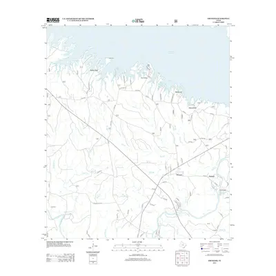 2013 Ebenezer2013 Print · USGSIn the early twenty-first century, this East Texas landscape is defined by the expansive inlets of the Sam Rayburn Reservoir and the winding Angelina River. Genealogists and local historians can locate rural settlements like Ebenezer and Ferguson, along with family landmarks such as Parker Cem and Jordan Cem.
 - 2013 Map of Bronson, 2013 Print
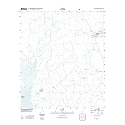 2013 Bronson2013 Print · USGSSan Augustine County at the start of the 2010s shows a landscape where small-town grids meet the expansive shoreline of the reservoir. Genealogists can locate numerous family burial sites like McBride Cem and Whitton Family Cem tucked between Sandy Cr and the streets of Bronson.
 - 2013 Map of Broaddus, 2013 Print
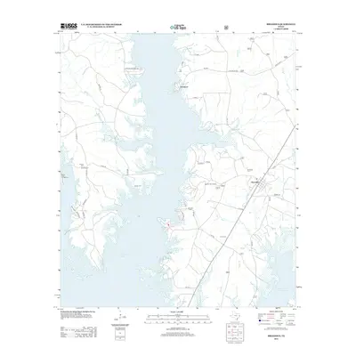 2013 Broaddus2013 Print · USGSThe intricate shoreline of the Sam Rayburn Reservoir defines this East Texas landscape in the early twenty-first century. Genealogists and local historians can trace numerous family burial sites like Sowell Cem and Fox Cem near the town of Broaddus.
 - 2013 Map of Chinquapin, 2013 Print
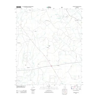 2013 Chinquapin2013 Print · USGSEast Texas rural life and family history are preserved here in the decade following the turn of the millennium. Genealogists can locate family landmarks like Redlands Cem and Parker Cem near the settlements of Chinquapin and Rebecca.
Showing maps 1-25 of 76
Top cities of San Augustine County
Frequently asked questions
- What are the different types of historical maps available for San Augustine County?
- What is the oldest map of San Augustine County?
- Where can I purchase historical maps of San Augustine County for my home or office?
- Where can I download high-res historical maps of San Augustine County?
- Are there historical topographic maps available for San Augustine County?
- Is there historical aerial imagery available for San Augustine County?
- Where are historical maps of San Augustine County sourced from?