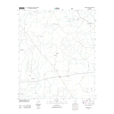
2013 Map of Chinquapin
USGS Topo · Published 2013About this map
Chinquapin and Rebecca sit at the center of this rural landscape, where local life is defined by a dense network of watercourses and family burial grounds. The territory is deeply etched by branches and bayous, including Ayish Bayou and Palo Gaucho Bayou, which drain the timbered terrain. Small crossroads and named points like Venable, Maxey Town, and Conville are linked by a web of farm-to-market roads and county routes. For those tracing local families, the presence of numerous cemeteries such as Redlands Cem, Sheffield Cem, and Head Cem provides concrete locations for ancestral research. The map also documents modern infrastructure, notably the Fairway Farm Airport and a passage through Sixmile Hollow, showing how 21st-century transit follows the natural contours of these East Texas bottomlands.
Find a feature on this map
49 named features on this map. Tap any name to fly to it.
Don’t see what you’re looking for? This feature index may not catch every label — zoom into the map to look around manually.
Map Details
Editions of this 2013 Chinquapin Map
This is the sole edition of this map. No revisions or reprints were ever made.
Other maps of this area
1944 · Patroon
USGS Topo · 1:62,500

1953 · Alexandria
USGS Topo · 1:250,000

1953 · Palestine
USGS Topo · 1:250,000

1955 · Alexandria
USGS Topo · 1:250,000
1956 · Patroon
USGS Topo · 1:62,500

1957 · Palestine
USGS Topo · 1:250,000
1958 · Hemphill
USGS Topo · 1:62,500
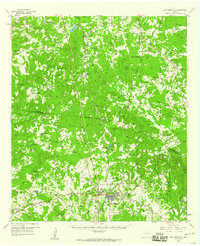
1958 · San Augustine
USGS Topo · 1:62,500
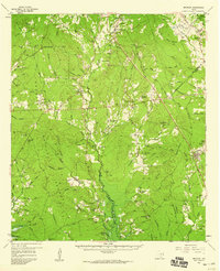
1958 · Bronson
USGS Topo · 1:62,500
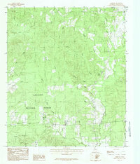
1984 · Norwood
USGS Topo · 1:24,000