
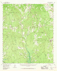
1958 Map of Bronson
USGS Topo · Published 1959About this map
The borderlands of the Angelina National Forest and Sabine National Forest meet in this late-1950s survey of the East Texas piney woods. Centered on the settlement of Bronson, the landscape is defined by the dense network of tributaries feeding into the Chiamon Bayou and Sandy Creek. Cultural landmarks are dispersed throughout the timberland, including rural congregations at Little Flock Ch and Pisgah Ch, alongside numerous family-named burial grounds such as Macedonia Cem and Nath Beck Cem.
Find a feature on this map
89 named features on this map. Tap any name to fly to it.
Don’t see what you’re looking for? This feature index may not catch every label — zoom into the map to look around manually.
Map Details
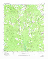
Editions of this 1958 Bronson Map
Other maps of this area

1931 · Zavalla
USGS Topo · 1:62,500

1944 · Patroon
USGS Topo · 1:62,500

1953 · Alexandria
USGS Topo · 1:250,000

1953 · Palestine
USGS Topo · 1:250,000

1955 · Alexandria
USGS Topo · 1:250,000

1956 · Patroon
USGS Topo · 1:62,500

1957 · Palestine
USGS Topo · 1:250,000

1957 · Brookeland
USGS Topo · 1:62,500

1958 · Hemphill
USGS Topo · 1:62,500

1958 · Zavalla
USGS Topo · 1:62,500