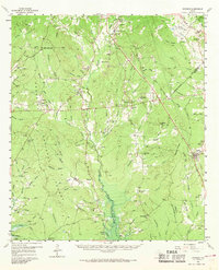
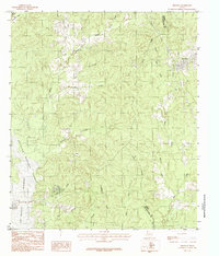
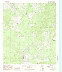
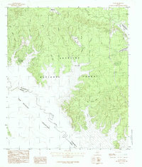
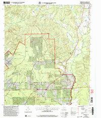
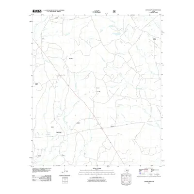
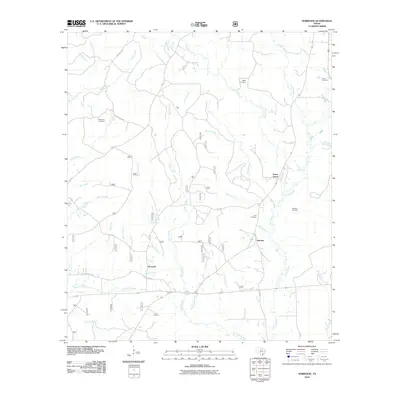
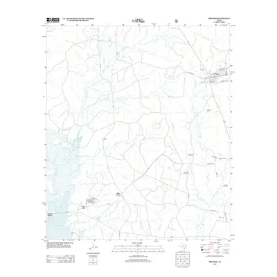
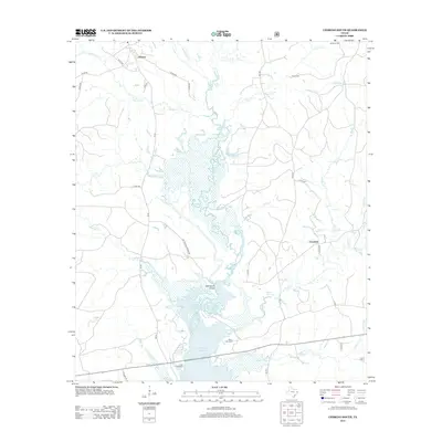
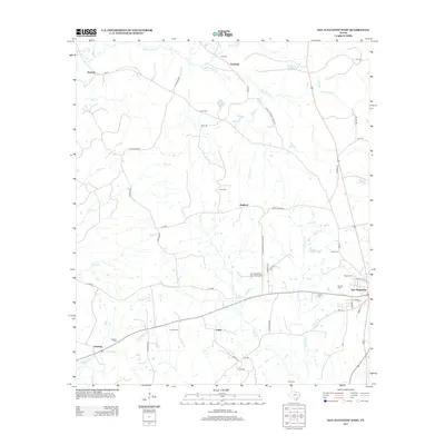
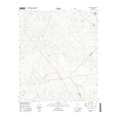
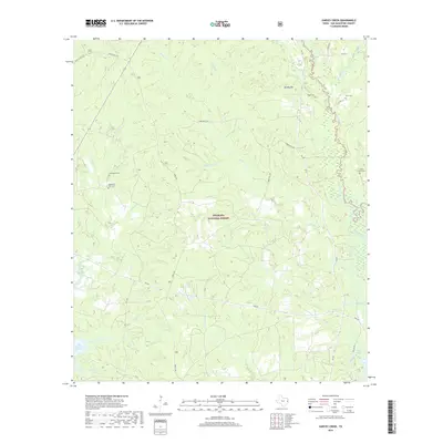
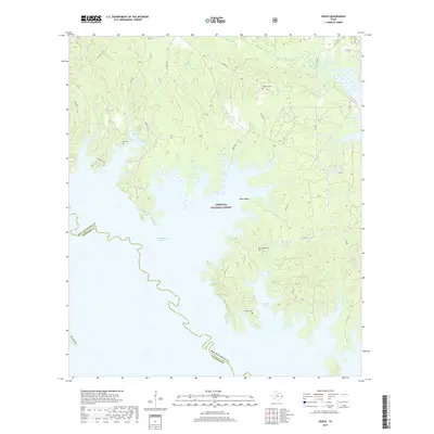
1958 Map of Bronson
USGS Topo · Published 1969About this map
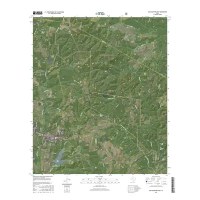
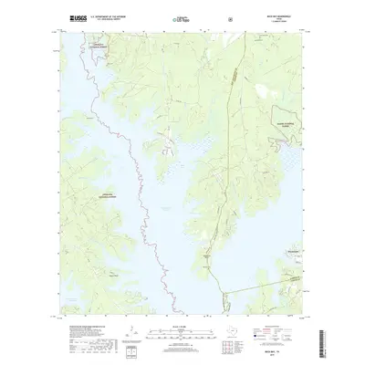
Ayish Bayou winds through this East Texas landscape, recorded during a transitional period for the Angelina National Forest. The map documents a rural community structure defined by numerous country churches and family cemeteries, such as Macedonia Cem and Hereford Cem, situated near small settlements like Maxey Town and Macune. Transportation patterns are shifting, with the Gulf Colorado and Santa Fe line and an Old Railroad Grade marking the timber-driven economy of the region.
Find a feature on this map
114 named features on this map. Tap any name to fly to it.
Don’t see what you’re looking for? This feature index may not catch every label — zoom into the map to look around manually.
Map Details
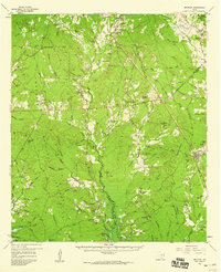
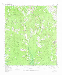
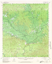
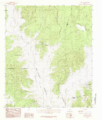
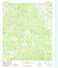
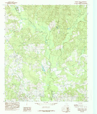
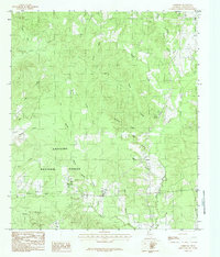
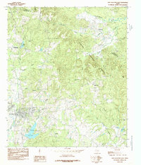
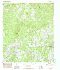
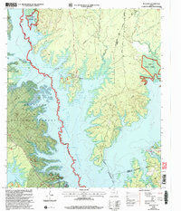
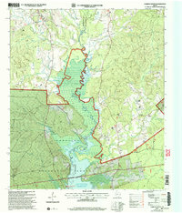
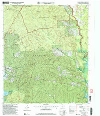
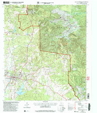
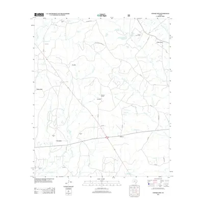
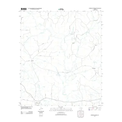
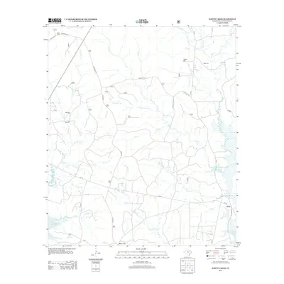
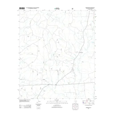
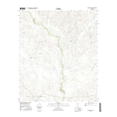
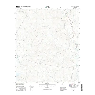
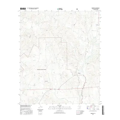
Editions of this 1958 Bronson Map
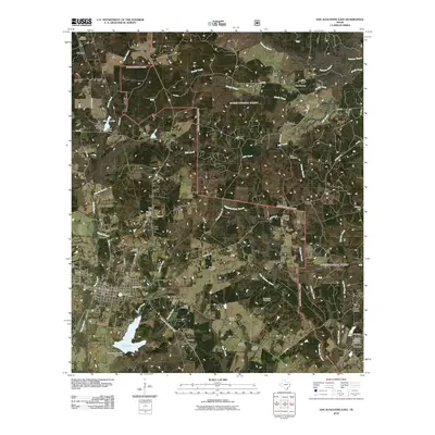
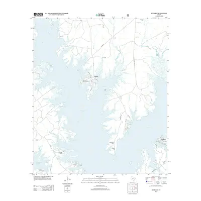
Historical Maps of Blue Springs Through Time
68 maps found
1958 Bronson
San Augustine County, TX
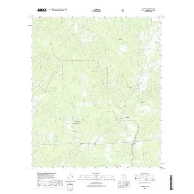
1958 Mc Gee Bend
San Augustine County, TX
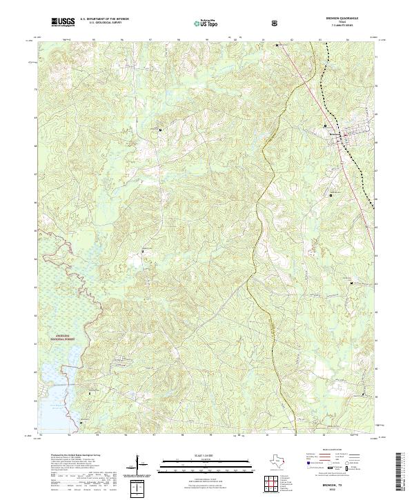
1984 Bronson
San Augustine County, TX
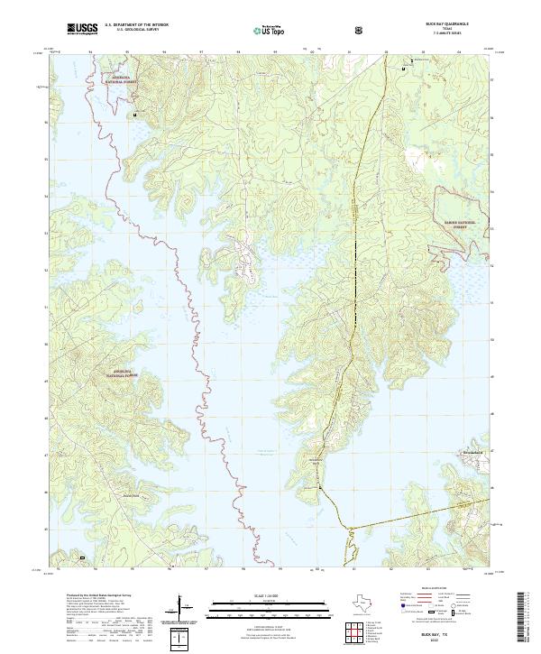
1984 Buck Bay
San Augustine County, TX
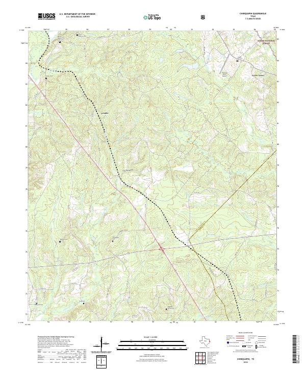
1984 Chinquapin
San Augustine County, TX
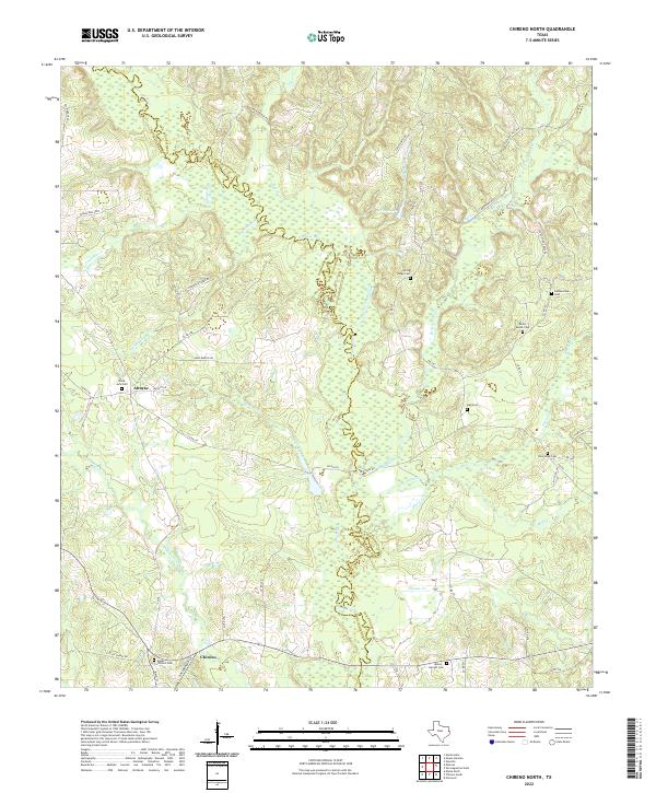
1984 Chireno North
San Augustine County, TX
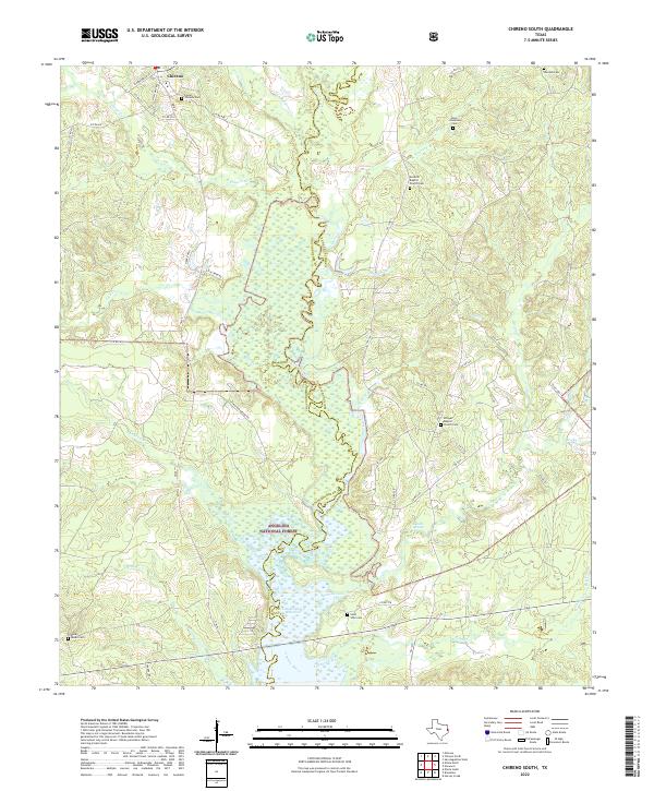
1984 Chireno South
San Augustine County, TX

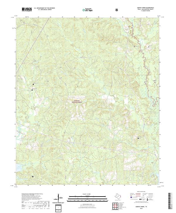
1984 Harvey Creek
San Augustine County, TX
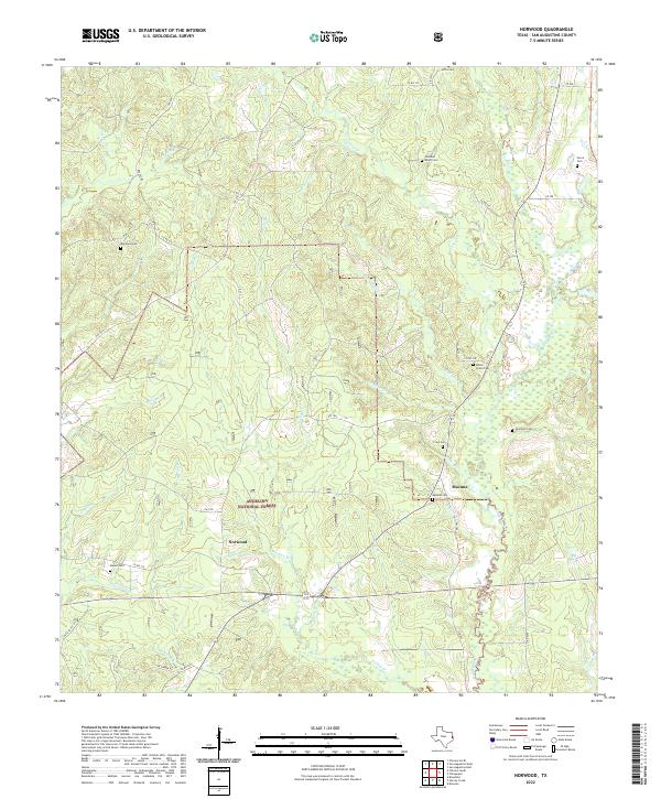
1984 Norwood
San Augustine County, TX
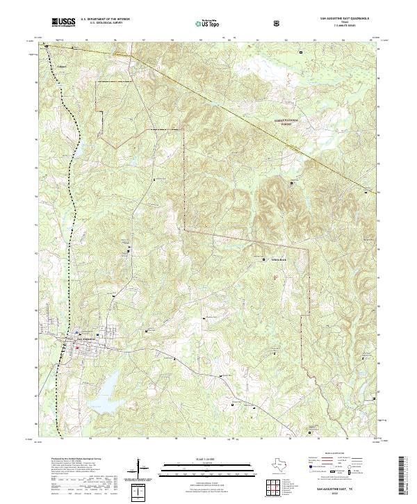
1984 San Augustine East
San Augustine County, TX
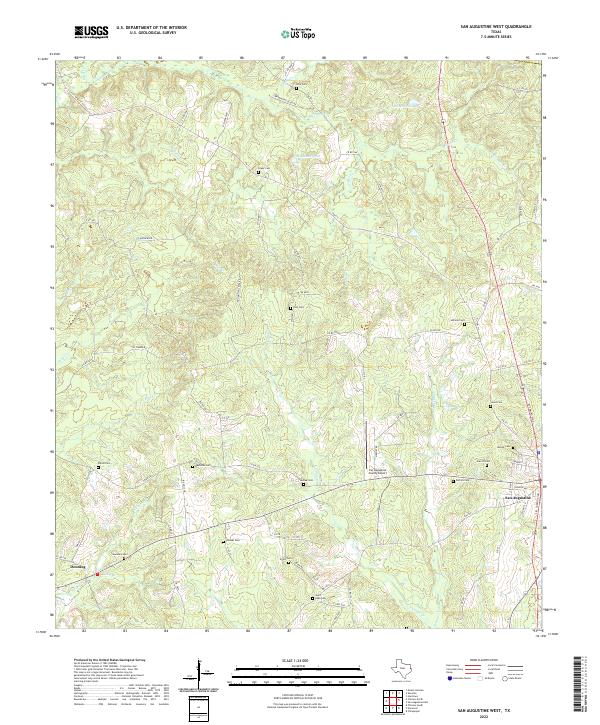
1984 San Augustine West
San Augustine County, TX
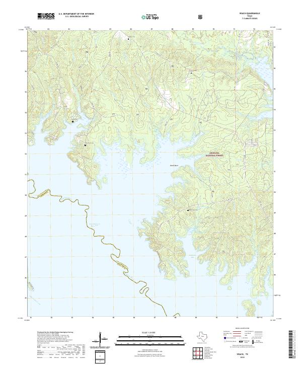
1984 Veach
San Augustine County, TX
2003 Buck Bay
San Augustine County, TX
2003 Chireno South
San Augustine County, TX
2003 Harvey Creek
San Augustine County, TX
2003 Norwood
San Augustine County, TX
2003 San Augustine East
San Augustine County, TX

2003 Veach
San Augustine County, TX
2010 Bronson
San Augustine County, TX
2010 Buck Bay
San Augustine County, TX
2010 Chinquapin
San Augustine County, TX
2010 Chireno North
San Augustine County, TX
2010 Chireno South
San Augustine County, TX
2010 Harvey Creek
San Augustine County, TX
2010 Norwood
San Augustine County, TX
2010 San Augustine East
San Augustine County, TX
2010 San Augustine West
San Augustine County, TX
2011 Veach
San Augustine County, TX
2013 Bronson
San Augustine County, TX
2013 Buck Bay
San Augustine County, TX
2013 Chinquapin
San Augustine County, TX
2013 Chireno North
San Augustine County, TX
2013 Chireno South
San Augustine County, TX
2013 Harvey Creek
San Augustine County, TX
2013 Norwood
San Augustine County, TX
2013 San Augustine East
San Augustine County, TX
2013 San Augustine West
San Augustine County, TX
2013 Veach
San Augustine County, TX
2016 Bronson
San Augustine County, TX
2016 Buck Bay
San Augustine County, TX
2016 Chinquapin
San Augustine County, TX
2016 Chireno North
San Augustine County, TX

2016 Chireno South
San Augustine County, TX
2016 Harvey Creek
San Augustine County, TX
2016 Norwood
San Augustine County, TX
2016 San Augustine East
San Augustine County, TX
2016 San Augustine West
San Augustine County, TX
2016 Veach
San Augustine County, TX
2019 Bronson
San Augustine County, TX
2019 Buck Bay
San Augustine County, TX
2019 Chinquapin
San Augustine County, TX
2019 Chireno North
San Augustine County, TX
2019 Chireno South
San Augustine County, TX
2019 Harvey Creek
San Augustine County, TX
2019 Norwood
San Augustine County, TX
2019 San Augustine East
San Augustine County, TX
2019 San Augustine West
San Augustine County, TX
2019 Veach
San Augustine County, TX
2022 Bronson
San Augustine County, TX
2022 Buck Bay
San Augustine County, TX
2022 Chinquapin
San Augustine County, TX
2022 Chireno North
San Augustine County, TX
2022 Chireno South
San Augustine County, TX
2022 Harvey Creek
San Augustine County, TX
2022 Norwood
San Augustine County, TX
2022 San Augustine East
San Augustine County, TX
2022 San Augustine West
San Augustine County, TX
2022 Veach
San Augustine County, TX