2020s Maps of San Augustine County, Texas
Explore 19 historic maps of San Augustine County from the 2020s. These maps offer a rare glimpse into what life looked like during the 2020s — showing old roads, neighborhoods, homes, and landmarks that have changed or disappeared over time.
Whether you're researching your family's past, planning a metal detecting trip, or studying how San Augustine County's landscape evolved across the 2020s, these high-resolution maps are a powerful tool for exploring the history of this region.
- Focus on a specific era: All maps on this page are from the 2020s, giving you a focused view of this time period.
- See what’s changed: Compare century-old streets, trails, and buildings to today's modern landscape using overlays and satellite layers.
- Research with precision: Use these maps for genealogy, historical research, land use analysis, or educational projects.
- View, download, or print: Maps are fully viewable online in high resolution, and can be downloaded or printed for your own records.
Start exploring San Augustine County's history through authentic maps from the 2020s. This is your window into the past.
San Augustine County, TX maps
(19)- 2022 Map of Patroon South, 2022 Print
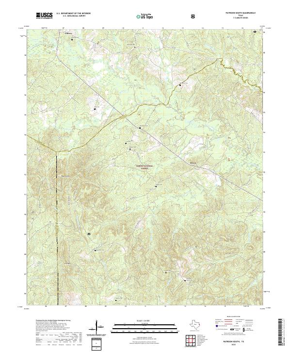 2022 Patroon South2022 Print · USGSDeep within East Texas in the 2020s, this area showcases the intersections of Shelby and San Augustine counties. Genealogists can trace family names at numerous local burial sites like Patroon Cem, Dunnigan Cem, and Bickley Cem.
 - 2022 Map of Geneva, 2022 Print
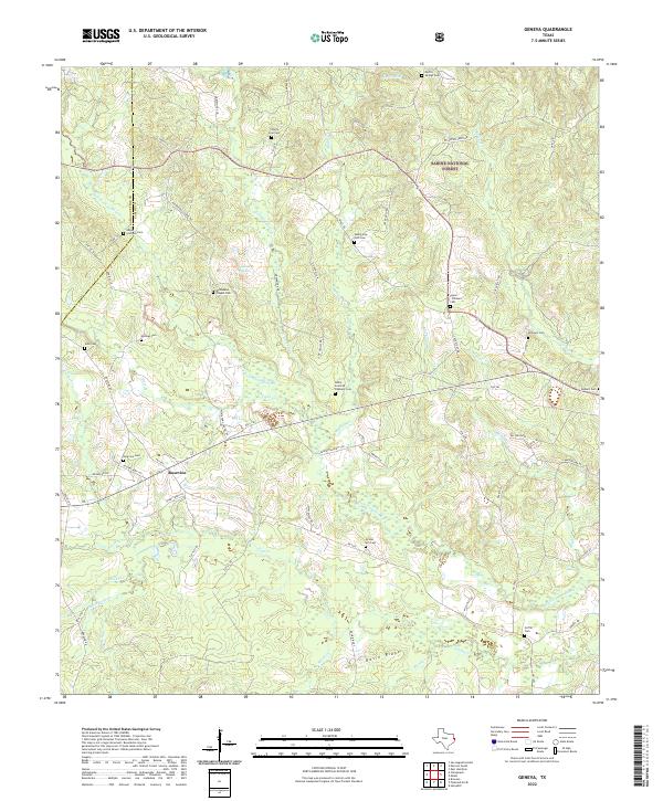 2022 Geneva2022 Print · USGSThe East Texas piney woods are documented here during the early twenty-first century, showing the rural communities of Rosevine and Abney. Family historians can locate numerous burial sites such as Gravel Hill Cem and Noble Scurlock Oliphant Cem near the Sabine National Forest.
 - 2022 Map of Neuville, 2022 Print
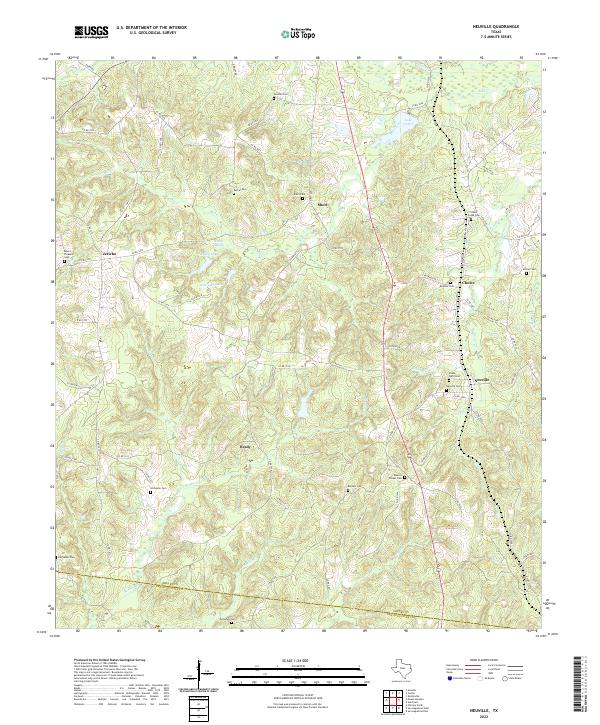 2022 Neuville2022 Print · USGSShelby County's rural communities and numerous family cemeteries come into focus in this recent survey of the East Texas timberlands. Genealogists can trace family names at Neuville Cem, Old Salem Cem, or Sandhill Cem while following the creeks that defined local property lines.
 - 2022 Map of Chireno South, 2022 Print
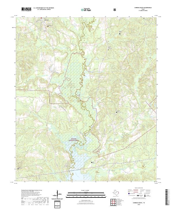 2022 Chireno South2022 Print · USGSThe wooded river bottoms of San Augustine and Nacogdoches counties appear here as they were just recently, where the Attoyac River meets the Sam Rayburn Reservoir. Researchers can trace deep family roots at the Antioch Baptist Church Cem, Davis Anderson Cem, or Rocky Mount Cem.
 - 2022 Map of Chireno North, 2022 Print
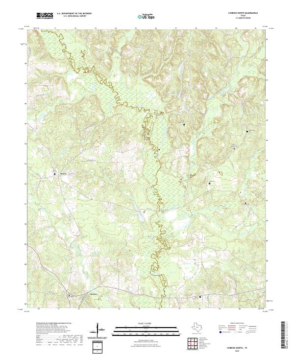 2022 Chireno North2022 Print · USGSSan Augustine and Nacogdoches counties meet along the swampy bends of the river in this recent East Texas survey. Genealogists can locate several dispersed burial sites like Upper Chireno Cem, Black Jack Cem, and the Milton - Garrett Cem near the town of Chireno.
 - 2022 Map of San Augustine West, 2022 Print
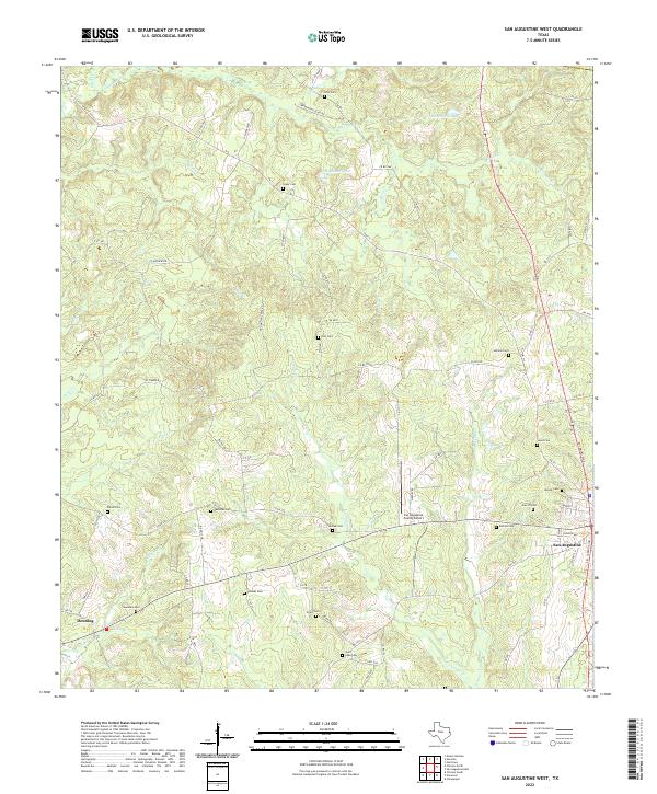 2022 San Augustine West2022 Print · USGSDeep in the piney woods of East Texas, this modern survey captures the landscape around San Augustine as it appeared in the early 2020s. Genealogists can trace family heritage through nearly a dozen burial sites, including Holt Cem, Redlands Cem, and Shiloh Cem.
 - 2022 Map of Chinquapin, 2022 Print
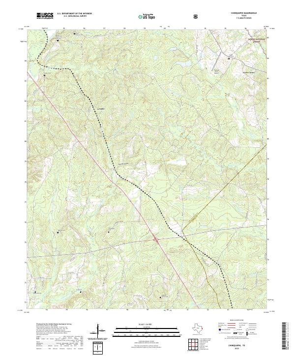 2022 Chinquapin2022 Print · USGSEast Texas creek basins and the border of the Sabine National Forest are shown here as they appeared in the early 2020s. Genealogists can locate several family burial sites including Isaac Roberts Cem, Head Cem, and Chinquapin Cem.
 - 2022 Map of Bronson, 2022 Print
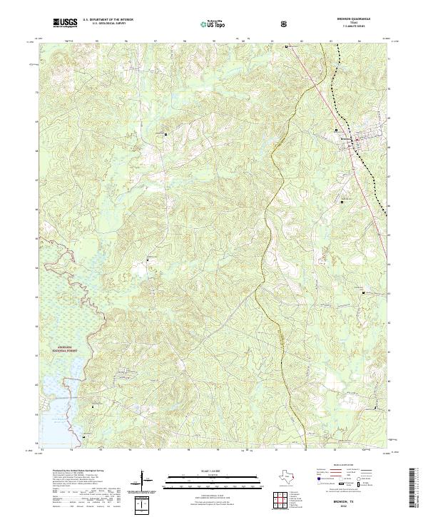 2022 Bronson2022 Print · USGSBronson and the surrounding timberlands of San Augustine County are captured here in the early twenty-first century. Researchers can locate numerous local burial sites like Centerview Cem and Fonville Cem or trace the shoreline of the Sam Rayburn Reservoir.
 - 2022 Map of Norwood, 2022 Print
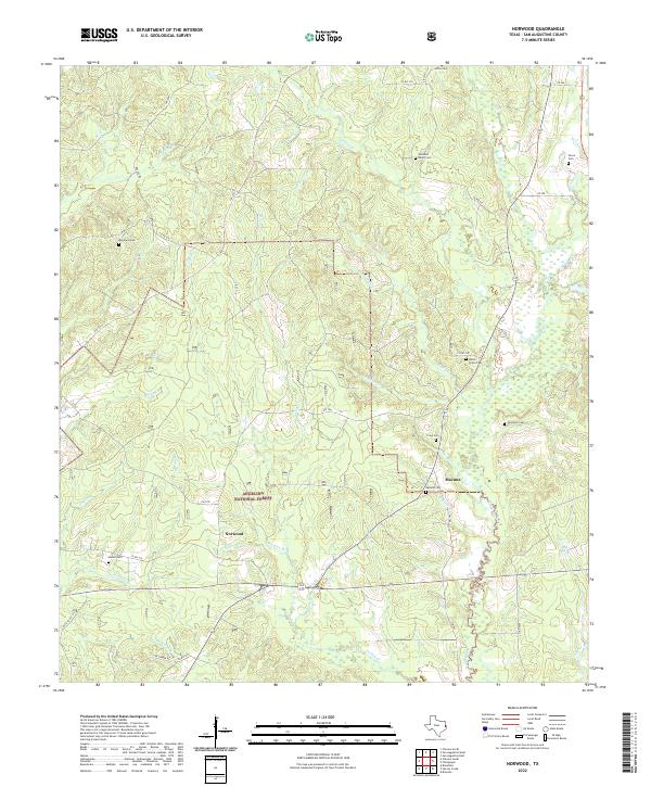 2022 Norwood2022 Print · USGSSan Augustine County is shown here in the 2020s, highlighting the enduring timberlands and rural settlements of East Texas. Genealogists can trace family heritage at Maryland Cem, Union Grove Cem, and the small community of Macune.
 - 2022 Map of Martinsville, 2022 Print
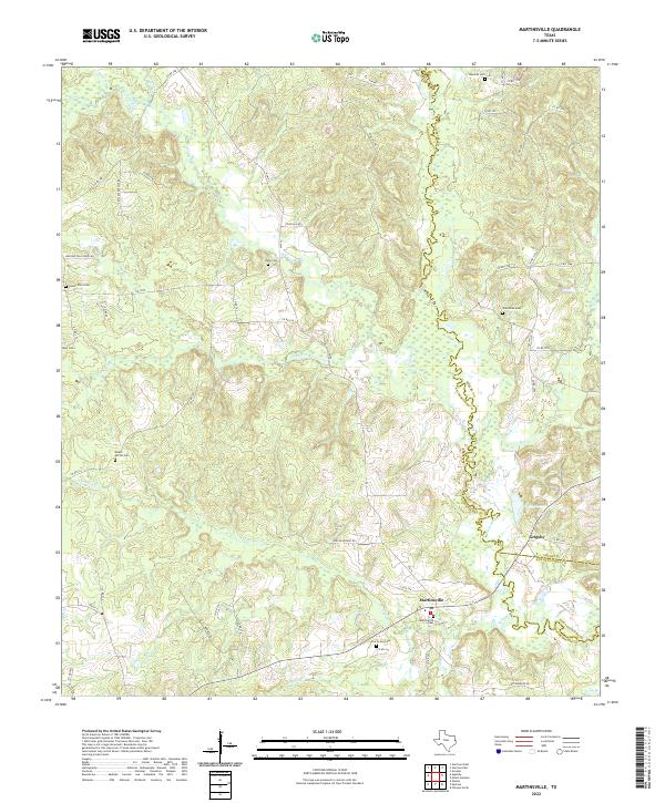 2022 Martinsville2022 Print · USGSNacogdoches and Shelby counties are shown here in the 2020s, dominated by the winding course of the Attoyac River. Genealogists can trace family heritage through numerous burial grounds like Mount Moriah Cem, Libby Cem, and Hancock Cem.
 - 2022 Map of Ebenezer, 2022 Print
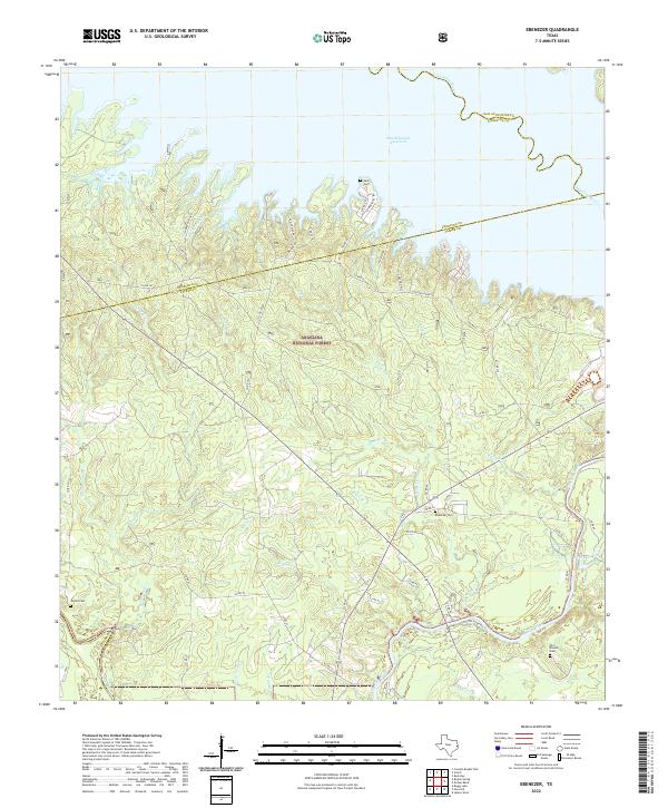 2022 Ebenezer2022 Print · USGSJasper County, Texas, is captured here within the Angelina National Forest as it meets the shores of the Sam Rayburn Reservoir. Researchers can trace the quiet history of the Pineywoods through Old Zavala Cem, Speir Cem, and the winding Angelina River.
 - 2022 Map of Broaddus, 2022 Print
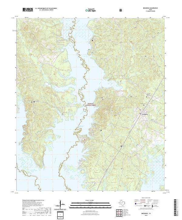 2022 Broaddus2022 Print · USGSThe deep woods of East Texas meet the rising waters of the reservoir in this recent survey of the San Augustine and Nacogdoches border. Trace local family roots at John Sowell Cem or Broaddus Cem and explore the winding paths of the Attoyac River.
 - 2022 Map of Veach, 2022 Print
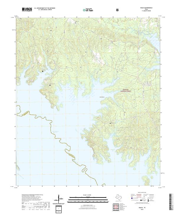 2022 Veach2022 Print · USGSThe northern reaches of the Sam Rayburn Reservoir meet the deep woods of the Angelina National Forest in this contemporary look at San Augustine County. Local historians and genealogists can trace the rural landscape through family landmarks like Oak Grove Cem and the waters of Veach Basin.
 - 2022 Map of Mount Herman, 2022 Print
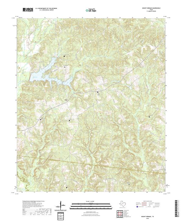 2022 Mount Herman2022 Print · USGSShelby County and San Augustine County are shown here in the 2020s, centered on the community of Aiken. Local historians can trace family burial sites at Wheeler Cem, Mount Herman Cem, or Old Salem Cem near the reservoir.
 - 2022 Map of McGee Bend, 2022 Print
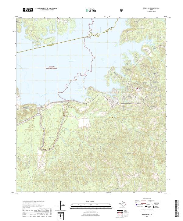 2022 McGee Bend2022 Print · USGSEast Texas river-bottom history meets the sprawling shoreline of the Sam Rayburn Reservoir in the 2020s. Genealogists and local historians can trace legacy sites like Townsend Cem, McGee Hill, and the namesake McGee Bend along the water's edge.
 - 2022 Map of San Augustine East, 2022 Print
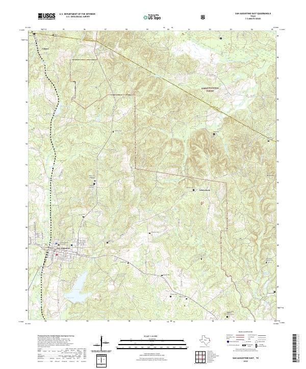 2022 San Augustine East2022 Print · USGSSan Augustine and the surrounding timberlands are documented here in the early twenty-first century. Genealogists can trace family heritage through dozens of local sites like the San Augustine City Cem, Antioch Cem, and Mount Dena Baptist Church Cem.
 - 2022 Map of Cassells-Boykin Park, 2022 Print
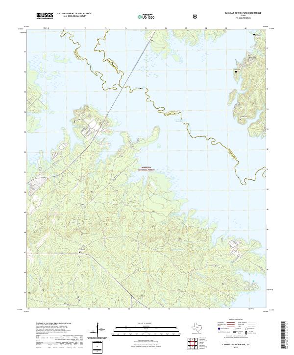 2022 Cassells-Boykin Park2022 Print · USGSDeep in the East Texas piney woods in the 2020s, this area showcases the intersection of the Angelina National Forest and the vast Sam Rayburn Reservoir. Genealogists can locate several family-named burial sites including Wood Snell Cem, Rayburn Cem, and Concord Cem.
 - 2022 Map of Harvey Creek, 2022 Print
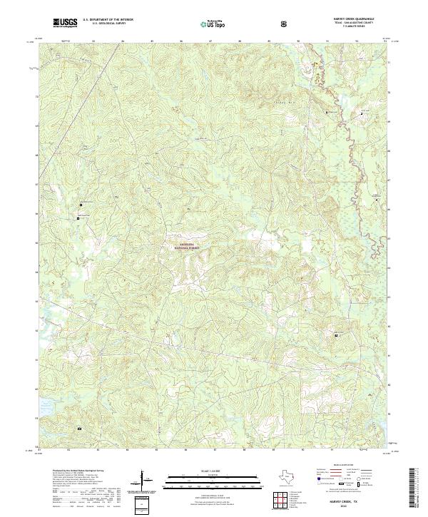 2022 Harvey Creek2022 Print · USGSSan Augustine County at the start of the 2020s remains a landscape of deep timber and winding bayous. Genealogists can locate several small burial grounds including Pisgah Cem, Crow Cem, and Hebron Cem within the Angelina National Forest.
 - 2022 Map of Buck Bay, 2022 Print
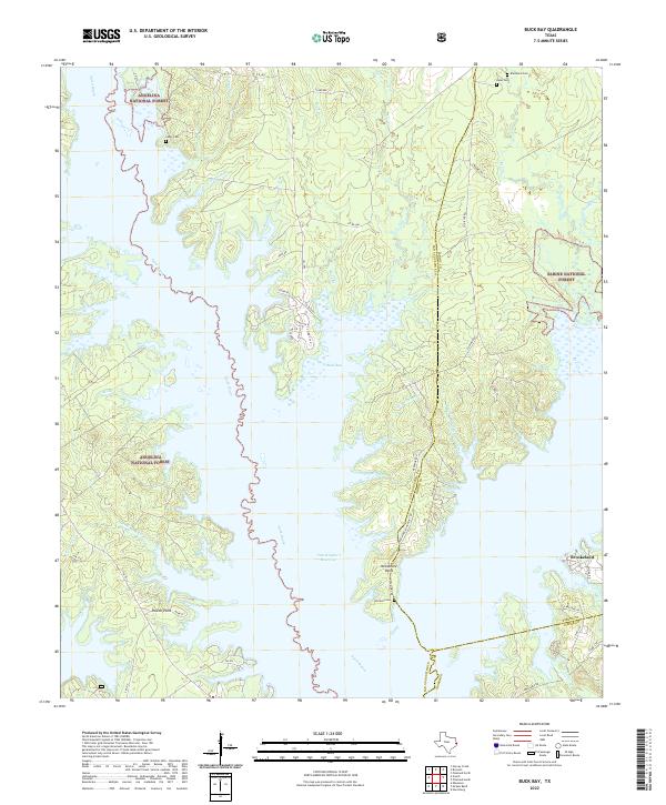 2022 Buck Bay2022 Print · USGSEast Texas timberlands meet the waters of the Sam Rayburn Reservoir in this recent survey of the Deep East Texas piney woods. Researchers can trace the shorelines of Buck Bay and locate family burial sites like Williams Cem and Lakey Cem.
End of results
Showing maps 1-19 of 19
Top cities of San Augustine County
Frequently asked questions
- What are the different types of historical maps available for San Augustine County?
- What is the oldest map of San Augustine County?
- Where can I purchase historical maps of San Augustine County for my home or office?
- Where can I download high-res historical maps of San Augustine County?
- Are there historical topographic maps available for San Augustine County?
- Is there historical aerial imagery available for San Augustine County?
- Where are historical maps of San Augustine County sourced from?