2000s (21st Century) Maps of Shepherd, Texas
Explore 20 historic maps of Shepherd from the 2000s (21st Century). These maps offer a rare glimpse into what life looked like during the 2000s — showing old roads, neighborhoods, homes, and landmarks that have changed or disappeared over time.
Whether you're researching your family's past, planning a metal detecting trip, or studying how Shepherd's landscape evolved across the 2000s, these high-resolution maps are a powerful tool for exploring the history of this region.
- Focus on a specific era: All maps on this page are from the 2000s, giving you a focused view of this time period.
- See what’s changed: Compare century-old streets, trails, and buildings to today's modern landscape using overlays and satellite layers.
- Research with precision: Use these maps for genealogy, historical research, land use analysis, or educational projects.
- View, download, or print: Maps are fully viewable online in high resolution, and can be downloaded or printed for your own records.
Start exploring Shepherd's history through authentic maps from the 2000s. This is your window into the past.
Shepherd, TX maps
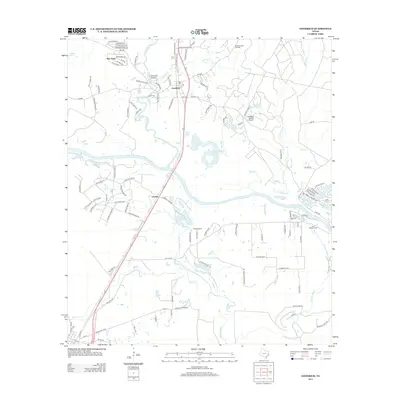
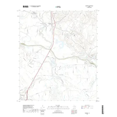
(20)- 2010 Map of Goodrich, 2010 Print
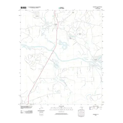 2010 Goodrich2010 Print · USGSCovers Shepherd, including Goodrich, Urbana, and other nearby areas
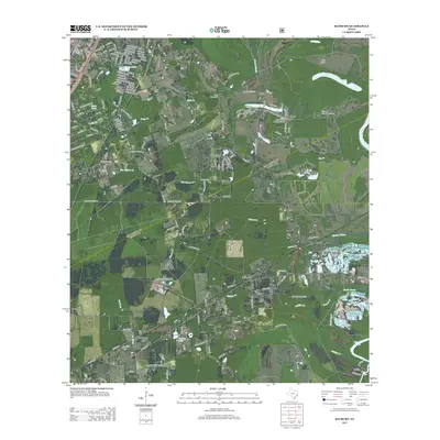
 - 2010 Map of Rayburn, 2010 Print
 2010 Rayburn2010 Print · USGSCovers Shepherd, including Lake Tejas, Hightower, and other nearby areas
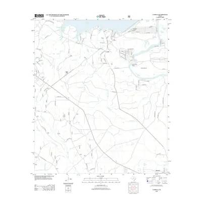
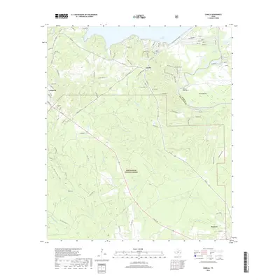
 - 2010 Map of Camilla, 2010 Print
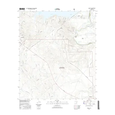
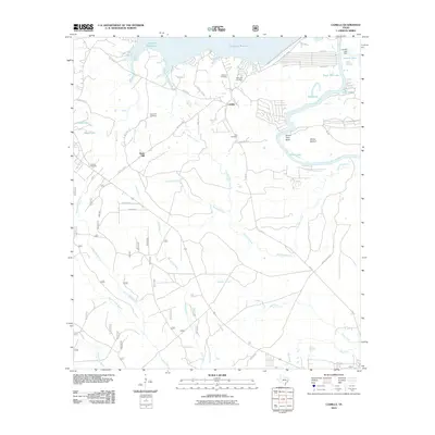 2010 Camilla2010 Print · USGSCovers Shepherd, including Coldspring, Camilla, and other nearby areas
 - 2010 Map of Westcott, 2010 Print
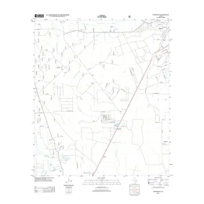
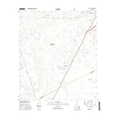
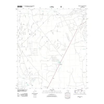 2010 Westcott2010 Print · USGSCovers Shepherd, including Cleveland, Keno, and other nearby areas
 - 2013 Map of Goodrich, 2013 Print
 2013 Goodrich2013 Print · USGSCovers Shepherd, including Goodrich, Urbana, and other nearby areas
 - 2013 Map of Rayburn, 2013 Print
 2013 Rayburn2013 Print · USGSCovers Shepherd, including Lake Tejas, Hightower, and other nearby areas
 - 2013 Map of Westcott, 2013 Print
 2013 Westcott2013 Print · USGSCovers Shepherd, including Cleveland, Keno, and other nearby areas
 - 2013 Map of Camilla, 2013 Print
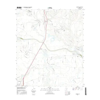
 2013 Camilla2013 Print · USGSCovers Shepherd, including Coldspring, Camilla, and other nearby areas
 - 2016 Map of Camilla, 2016 Print
 2016 Camilla2016 Print · USGSCovers Shepherd, including Coldspring, Camilla, and other nearby areas
 - 2016 Map of Goodrich, 2016 Print
 2016 Goodrich2016 Print · USGSCovers Shepherd, including Goodrich, Urbana, and other nearby areas
 - 2016 Map of Rayburn, 2016 Print
 2016 Rayburn2016 Print · USGSCovers Shepherd, including Lake Tejas, Hightower, and other nearby areas
 - 2016 Map of Westcott, 2016 Print
 2016 Westcott2016 Print · USGSCovers Shepherd, including Cleveland, Keno, and other nearby areas
 - 2019 Map of Goodrich, 2019 Print
 2019 Goodrich2019 Print · USGSCovers Shepherd, including Goodrich, Urbana, and other nearby areas
 - 2019 Map of Rayburn, 2019 Print
 2019 Rayburn2019 Print · USGSCovers Shepherd, including Lake Tejas, Hightower, and other nearby areas
 - 2019 Map of Camilla, 2019 Print
 2019 Camilla2019 Print · USGSCovers Shepherd, including Coldspring, Camilla, and other nearby areas
 - 2019 Map of Westcott, 2019 Print
 2019 Westcott2019 Print · USGSCovers Shepherd, including Cleveland, Keno, and other nearby areas
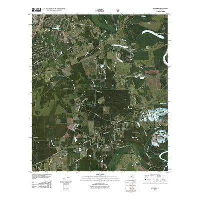
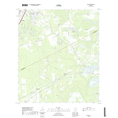
 - 2022 Map of Westcott, 2022 Print
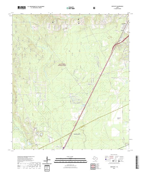 2022 Westcott2022 Print · USGSThe piney woods north of Houston are captured here as they appeared in the early 2020s, spanning the forest and prairies of San Jacinto and Liberty counties. Researchers can trace local lineage through numerous sites including Roark Cem, Lovett Cem, and the Pace - Stencil Memorial Rest Gardens.
 - 2022 Map of Rayburn, 2022 Print
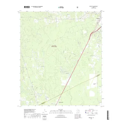
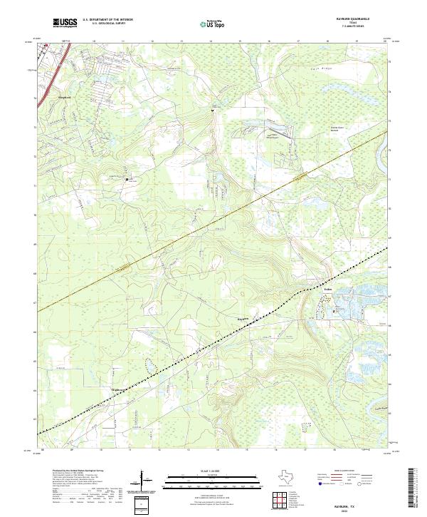 2022 Rayburn2022 Print · USGSThe East Texas borderlands of San Jacinto and Liberty counties come to life in this survey of the river bottomlands. Researchers can trace rural lineages through the Coley Creek Cem and old settlements like Rayburn, Dolen, and Hightower.
 - 2022 Map of Goodrich, 2022 Print
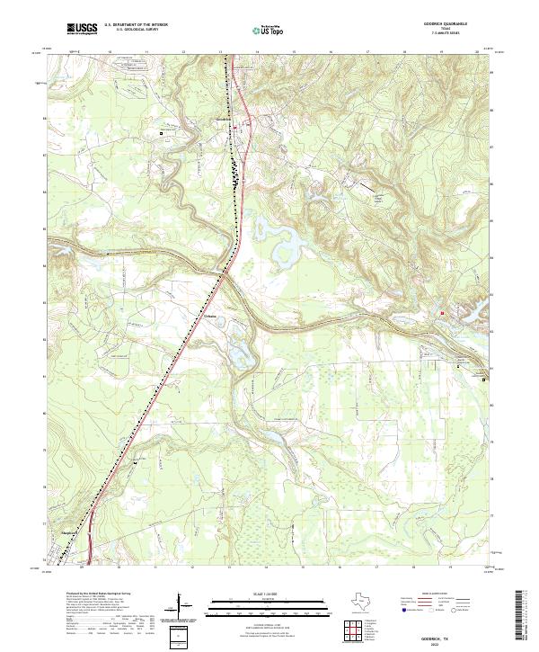 2022 Goodrich2022 Print · USGSThe Polk and San Jacinto county line follows the Trinity River in this 2022 survey of East Texas. Genealogists can locate family landmarks like Lake Station Baptist Church Cem, Lake Pool Cem, and the river crossing at Urbana.
 - 2022 Map of Camilla, 2022 Print
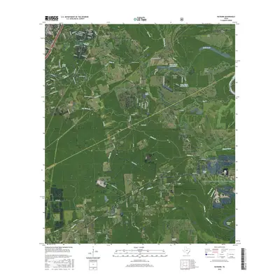
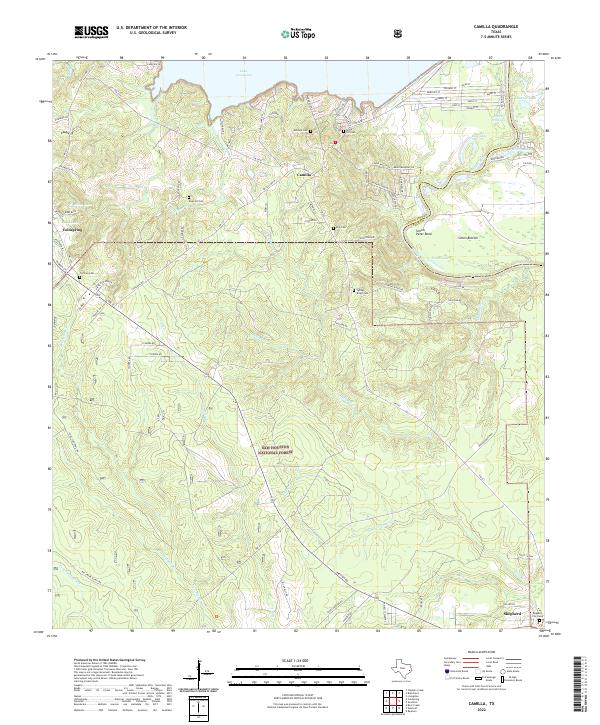 2022 Camilla2022 Print · USGSSan Jacinto County during the early 2020s shows the enduring reach of the Sam Houston National Forest alongside the developed shores of Lake Livingston. Researchers can locate several historic burial sites like Rose Hill Cem and Spring Ridge Cem near the winding Trinity River.
End of results
Showing maps 1-20 of 20
Top cities near Shepherd
- Cleveland historical maps
- Livingston historical maps
- Splendora historical maps
- Coldspring historical maps
- Goodrich historical maps
- North Cleveland historical maps
Top neighborhoods of Shepherd
Frequently asked questions
- What are the different types of historical maps available for Shepherd?
- What is the oldest map of Shepherd?
- Where can I purchase historical maps of Shepherd for my home or office?
- Where can I download high-res historical maps of Shepherd?
- Are there historical topographic maps available for Shepherd?
- Is there historical aerial imagery available for Shepherd?
- Where are historical maps of Shepherd sourced from?