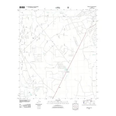
2010 Map of Westcott
USGS Topo · Published 2010About this map
Tarkington Bayou meanders through the heart of this East Texas landscape, defining a region where small rural communities and family burial grounds are deeply integrated into the hydrology of Liberty County. Small settlements like Westcott, Napier, and Keno serve as anchor points along a network of farm-to-market roads, while the northern reaches of the quadrangle are marked by the presence of Big Creek Cemetery, Lovett Cemetery, and Farley Cemetery. This area in the early 21st century remains largely rural, with the East Fork San Jacinto River and Winters Bayou shaping the southwestern corner. The mapping detail shows a transition toward more structured residential development in subdivisions like Campbell Acres RD, while landmarks like the Tarkington Hunter Camp suggest the ongoing importance of local recreation and the natural environment.
Find a feature on this map
40 named features on this map. Tap any name to fly to it.
Don’t see what you’re looking for? This feature index may not catch every label — zoom into the map to look around manually.
Map Details
Editions of this 2010 Westcott Map
This is the sole edition of this map. No revisions or reprints were ever made.
Other maps of this area

1943 · Liberty
USGS Topo · 1:125,000

1954 · Beaumont
USGS Topo · 1:250,000

1955 · Rayburn
USGS Topo · 1:62,500

1957 · Beaumont
USGS Topo · 1:250,000

1958 · Fostoria
USGS Topo · 1:24,000

1958 · Cleveland
USGS Topo · 1:24,000

1958 · Westcott
USGS Topo · 1:24,000

1958 · Livingston
USGS Topo · 1:62,500

1958 · Bear Creek
USGS Topo · 1:24,000

1960 · Camilla
USGS Topo · 1:24,000