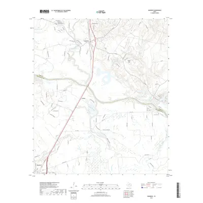
2019 Map of Goodrich
USGS Topo · Published 2019About this map
The Trinity River defines the landscape of this East Texas corridor, carving a winding path between the Polk and San Jacinto county line. The settlement of Goodrich sits as a primary hub in the north, while the smaller community of Urbana and the northern edge of Shepherd anchor the southern reaches. The area is characterized by a dense network of watercourses, including Big Cr, Long King Creek, and Sanson Cr, which feed into the river system.
Find a feature on this map
105 named features on this map. Tap any name to fly to it.
Don’t see what you’re looking for? This feature index may not catch every label — zoom into the map to look around manually.
Map Details
Editions of this 2019 Goodrich Map
This is the sole edition of this map. No revisions or reprints were ever made.
Other maps of this area

1943 · Liberty
USGS Topo · 1:125,000

1954 · Beaumont
USGS Topo · 1:250,000

1955 · Rayburn
USGS Topo · 1:62,500

1957 · Beaumont
USGS Topo · 1:250,000

1958 · Westcott
USGS Topo · 1:24,000

1958 · Livingston
USGS Topo · 1:62,500

1960 · Blanchard
USGS Topo · 1:24,000

1960 · Camilla
USGS Topo · 1:24,000

1984 · Soda
USGS Topo · 1:24,000

1984 · Beaumont
USGS Topo · 1:250,000