Old Maps of Edroy, Texas for Genealogy
Trace your family roots with 14 historic maps of Edroy. These high-res maps reveal old neighborhoods, homesites, landmarks, and streets — helping you uncover where your ancestors lived and how the area evolved over time.
- Explore historic neighborhoods: Identify where your relatives may have lived in the 1800s or 1900s.
- Compare maps over time: Trace the changes in streets, buildings, and landmarks for multi-generational research.
- Perfect for genealogy & ancestry research: Used by family historians and researchers to map out lineage and migration.
These maps are an incredible resource for exploring your personal connection to Edroy's past.
Edroy, TX maps
(14)- 1925 Map of Robstown
 1925 Robstown1925 Print · USGSCoastal Texas near the Nueces River delta was a landscape of rail junctions and riverine wetlands during the mid-1920s. Genealogists can locate family landmarks like Ward 1 School or trace the early development of Robstown and Nuecestown.3 unique versions available
 - 1950 Map of Corpus Christi, 1953 Print
 1950 Corpus Christi1953 Print · USGSThe South Texas coast comes into focus during the early fifties, showing the interplay between booming oil fields and expansive ranching operations. Genealogists and historians can trace the Texas Mexican rail line through Kingsville or locate heritage sites like Chapman Ranch and Riviera Beach.
 - 1954 Map of Robstown, 1956 Print
 1954 Robstown1956 Print · USGSCoastal Texas in the mid-fifties comes alive through this detailed survey of the rail and petroleum corridor between Robstown and Odem. Genealogists and historians can trace family-named sites like Hudson Acres, old schools like Tuloso-Midway Sch, and the Moravian Community Hall.
 - 1956 Map of Corpus Christi
 1956 Corpus Christi1956 Print · USGSThe South Texas coast and the burgeoning port of Corpus Christi are captured here during the mid-fifties. Genealogists and historians can trace the rail-and-oil economy through labels like Robstown Airpark, Chapman Ranch, and the Missouri Pacific railroad.
 - 1960 Map of Corpus Christi
 1960 Corpus Christi1960 Print · USGSCoastal South Texas and the Nueces County hinterlands are detailed in this mid-century survey. Genealogists and historians can trace early settlement patterns and rural landmarks like Casa Blanca during a period of steady regional growth.
 - 1966 Map of Corpus Christi
 1966 Corpus Christi1966 Print · USGSThe Texas Coastal Bend in the mid-1960s reveals a landscape where massive cattle empires and strategic military bases meet the Gulf. Trace the vast reaches of King Ranch or locate aviation history at the Corpus Christi Air Station and Kingsville Air Station.
 - 1969 Map of Edroy, 1972 Print
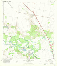 1969 Edroy1972 Print · USGSIn the late 1960s, this San Patricio County landscape was defined by the winding Nueces River and a busy energy economy. Researchers can trace family sites in Edroy, locate the Guadalupe Ch, and map the extensive Riverside Oil Field.2 unique versions available
 - 1984 Map of Corpus Christi
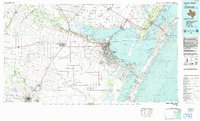 1984 Corpus Christi1984 Print · USGSThe Texas Coastal Bend in the 1980s reveals a landscape defined by deep-water ports and sprawling ranchlands. Researchers can trace the rail lines of the Texas Mexican railroad or locate historical landmarks like the Chapman Ranch and Seaside Memorial Cem.
 - 1989 Map of Corpus Christi, 1991 Print
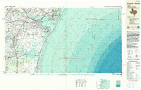 1989 Corpus Christi1991 Print · USGSCoastal South Texas and its deep bays are captured here in the late eighties, showcasing a landscape of military aviation and barrier island preservation. Researchers can trace family roots in Petronila or Vattmannville and locate landmarks like Cabaniss Field and Baffin.
 - 2010 Map of Edroy, 2010 Print
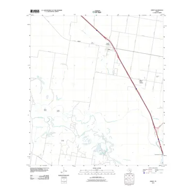 2010 Edroy2010 Print · USGSCoastal Texas near Corpus Christi is captured here in the early twenty-first century, showing a landscape shaped by the Nueces River and the energy industry. Researchers can trace rural lineages at the Edroy Cemetery or locate old operations in the Riverside Oil Field and Odem Oil Field.
 - 2013 Map of Edroy, 2013 Print
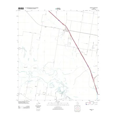 2013 Edroy2013 Print · USGSSan Patricio County in the early twenty-first century reveals a landscape where the Nueces River defines the southern boundary and the oil industry shapes the interior. Local researchers can trace family landmarks like the Edroy Cem or explore the geography of Odem Island and the Odem Oil Field.
 - 2016 Map of Edroy, 2016 Print
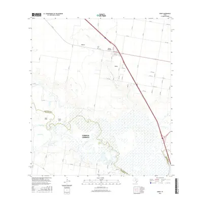 2016 Edroy2016 Print · USGSThe Nueces River delta and its surrounding agricultural plains are captured here in the mid-2010s. Local researchers can trace family sites near Edroy Cem or explore the wetland geography of Odem Island and Griffin Island.
 - 2019 Map of Edroy, 2019 Print
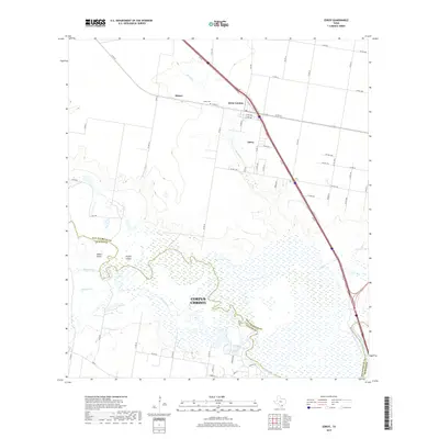 2019 Edroy2019 Print · USGSThe Texas coastal bend comes into focus in this late twenty-first-century survey of the Nueces River valley. Genealogists and local historians can trace the development of Edroy and its colonia or locate family roots near the Edroy Cem and the settlement of Hubert.
 - 2022 Map of Edroy, 2022 Print
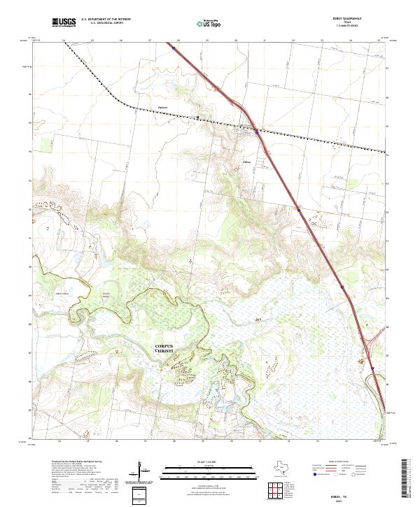 2022 Edroy2022 Print · USGSThe marshy lowlands of the San Patricio and Nueces county line are captured here in the early twenty-first century. Family researchers and local historians can trace the rural layout around Edroy, locate the Edroy Cem, and explore the wetlands surrounding Odem Island.
End of results
Showing maps 1-14 of 14
Top cities near Edroy
- Corpus Christi historical maps
- Robstown historical maps
- Sinton historical maps
- Mathis historical maps
- Odem historical maps
- Lake City historical maps
Frequently asked questions
- What are the different types of historical maps available for Edroy?
- What is the oldest map of Edroy?
- Where can I purchase historical maps of Edroy for my home or office?
- Where can I download high-res historical maps of Edroy?
- Are there historical topographic maps available for Edroy?
- Is there historical aerial imagery available for Edroy?
- Where are historical maps of Edroy sourced from?