
1925 Map of Robstown
USGS Topo · Published 1925About this map
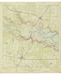
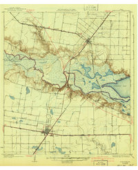
The Nueces River serves as the dominant geographical boundary in this 1920s survey, separating San Patricio and Nueces counties as it flows into Nueces Bay. The landscape is a complex network of marshy features like Dismero Slough and Tide Lake, contrasting with the burgeoning industrial and agricultural grid expanding from the rail hubs. Robstown appears as a significant junction where the St Louis Brownsville and Mexico intersects with the Texas Mexican line, anchoring the regional economy.
Find a feature on this map
34 named features on this map. Tap any name to fly to it.
Don’t see what you’re looking for? This feature index may not catch every label — zoom into the map to look around manually.
Map Details
Editions of this 1925 Robstown Map
Other maps of this area

1924 · Petronilla
USGS Topo · 1:62,500

1925 · Oso Creek
USGS Topo · 1:62,500

1925 · Corpus Christi
USGS Topo · 1:62,500

1927 · Mathis
USGS Topo · 1:62,500

1950 · Corpus Christi
USGS Topo · 1:250,000

1951 · Corpus Christi
USGS Topo · 1:24,000

1951 · Corpus Christi
USGS Topo · 1:62,500

1951 · Oso Creek NW
USGS Topo · 1:24,000

1951 · Oso Creek
USGS Topo · 1:62,500

1953 · Beeville
USGS Topo · 1:250,000
Featured Places
- Corpus Christi, TX
- Robstown, TX
- Odem, TX
- Friendswood Acres Number 2 Colonia, TX
- Timon and Morgan Colonia, TX