Old Maps of Streetman, Texas for Metal Detecting
Plan your next treasure hunt with 21 historic maps of Streetman. Find old homesites, ghost towns, trails, and gathering spots that may be lost to time — perfect for identifying promising metal detecting locations.
- Locate forgotten sites: Uncover places like long-lost settlements, abandoned rail lines, or gathering spots.
- Plan better hunts: Use map overlays combined with LiDAR or satellite views to narrow in on historically rich areas.
- Made for detectorists: Thousands of hobbyists use these maps to discover relics, coins, and hidden history.
Use these historic maps to boost your research and find new opportunities beneath the surface of Streetman.
Streetman, TX maps
(21)- 1954 Map of Waco, 1964 Print
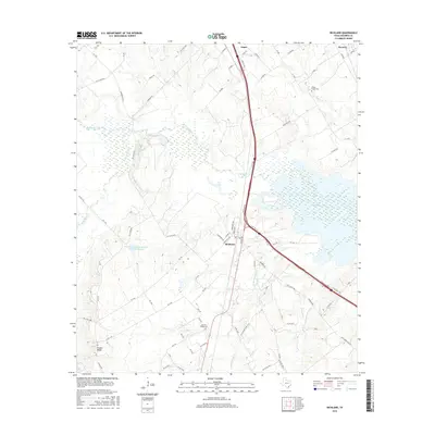
 1954 Waco1964 Print · USGSCentral Texas during the mid-fifties shows a landscape defined by the expansion of Fort Hood Military Reservation and the Brazos river system. Trace the rail lines and early airfields like James Connally Air Force Base and settlements like Temple or McGregor.2 unique versions available
 - 1955 Map of Waco
 1955 Waco1955 Print · USGSCentral Texas at the peak of the Cold War reveals a landscape defined by military expansion and major water projects. Researchers can trace the footprints of Fort Hood, the waters of Lake Waco, and regional hubs like Temple or Mexia.
 - 1960 Map of Streetman, 1961 Print
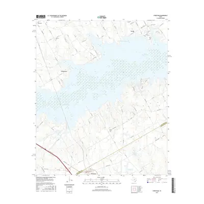
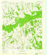 1960 Streetman1961 Print · USGSThe Navarro and Freestone county line comes alive in the early sixties, showing a landscape of rail-connected farming communities. Genealogists can locate family landmarks like Birdston Cem, Johnson Cem, and rural churches such as Friendship Ch.4 unique versions available
 - 1963 Map of Richland, 1966 Print
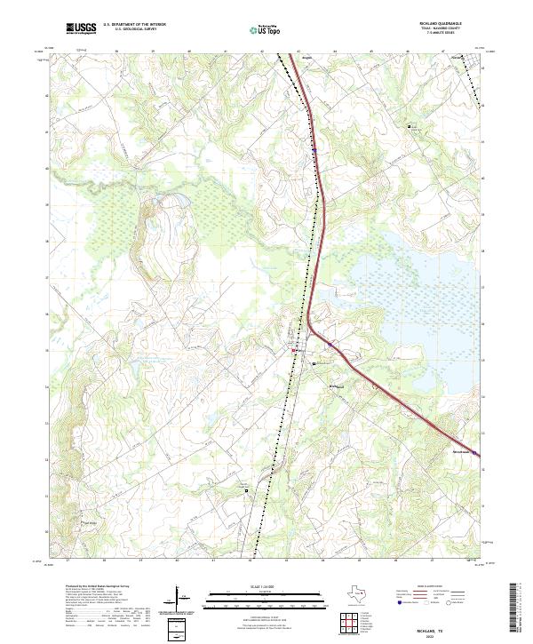
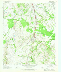 1963 Richland1966 Print · USGSThe Richland area in the early sixties is a study in Texas rail and oil history, centered on the crossing of the Southern Pacific and Fort Worth & Denver lines. Genealogists and researchers can trace local roots at Carroll Chapel Cem, Richland Sch, and the Powell Oil Field.2 unique versions available
 - 1963 Map of Kirvin, 1966 Print
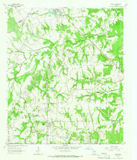 1963 Kirvin1966 Print · USGSFreestone County in the early sixties maintains its rural character through a series of small settlements and church communities. You can trace family roots at St Session Cemetery or explore the rail corridor of the Chicago Rock Island and Pacific.2 unique versions available
 - 1985 Map of Mexia
 1985 Mexia1985 Print · USGSLimestone and Freestone counties are shown in the mid-eighties as centers of rail-linked commerce and growing reservoir systems. Researchers can trace the grounds of Mexia State School, the campus of Westminster College, and historic Fort Parker.2 unique versions available
 - 2010 Map of Kirvin, 2010 Print
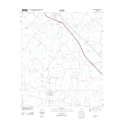
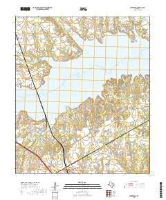
 2010 Kirvin2010 Print · USGSCovers Streetman, including Kirvin, Navarro County, and other nearby areas
 - 2010 Map of Richland, 2010 Print
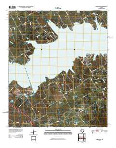
 2010 Richland2010 Print · USGSCovers Streetman, including Angus, Richland, and other nearby areas
 - 2010 Map of Streetman, 2010 Print
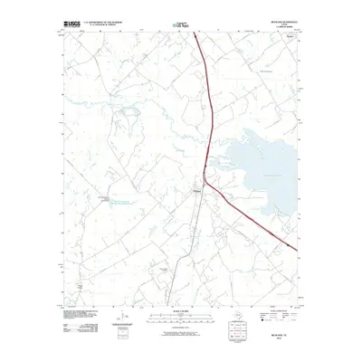
 2010 Streetman2010 Print · USGSCovers Streetman, including Eureka, Navarro, and other nearby areas
 - 2013 Map of Kirvin, 2013 Print
 2013 Kirvin2013 Print · USGSCovers Streetman, including Kirvin, Navarro County, and other nearby areas
 - 2013 Map of Richland, 2013 Print
 2013 Richland2013 Print · USGSCovers Streetman, including Angus, Richland, and other nearby areas
 - 2013 Map of Streetman, 2013 Print
 2013 Streetman2013 Print · USGSCovers Streetman, including Eureka, Navarro, and other nearby areas
 - 2016 Map of Richland, 2016 Print
 2016 Richland2016 Print · USGSCovers Streetman, including Angus, Richland, and other nearby areas
 - 2016 Map of Kirvin, 2016 Print
 2016 Kirvin2016 Print · USGSCovers Streetman, including Kirvin, Navarro County, and other nearby areas
 - 2016 Map of Streetman, 2016 Print
 2016 Streetman2016 Print · USGSCovers Streetman, including Eureka, Navarro, and other nearby areas
 - 2019 Map of Richland, 2019 Print
 2019 Richland2019 Print · USGSCovers Streetman, including Angus, Richland, and other nearby areas
 - 2019 Map of Streetman, 2019 Print
 2019 Streetman2019 Print · USGSCovers Streetman, including Eureka, Navarro, and other nearby areas
 - 2019 Map of Kirvin, 2019 Print
 2019 Kirvin2019 Print · USGSCovers Streetman, including Kirvin, Navarro County, and other nearby areas
 - 2022 Map of Richland, 2022 Print
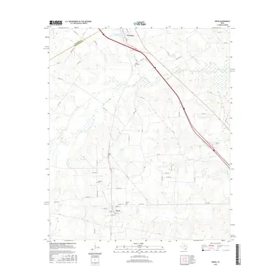
 2022 Richland2022 Print · USGSNavarro County's rural ranch lands and creek bottoms are documented here as modern infrastructure intersects with old crossroads. Researchers can trace the legacy of early settlements through Richland Cem, Carroll Chapel Cem, and the high ground of Pisgah Ridge.
 - 2022 Map of Streetman, 2022 Print
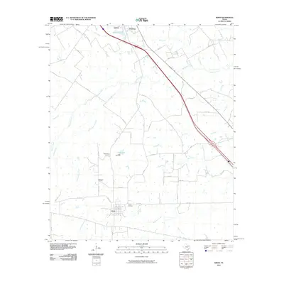
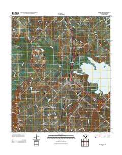
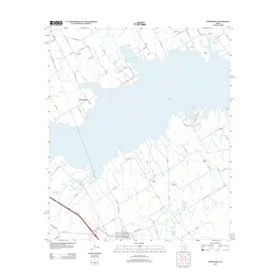
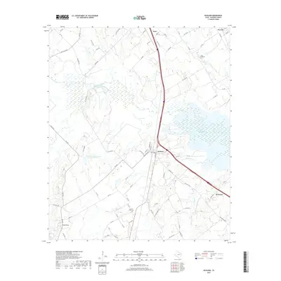
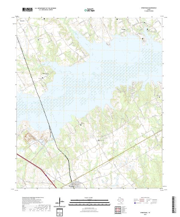 2022 Streetman2022 Print · USGSThe crossroads at the Navarro and Freestone county line appear here in the early 2020s, dominated by the waters of Texas Industries Lake. Genealogists can trace numerous local burial grounds including Cheneyboro Cem, Birdston Valley Cem, and the Dunn - Johnston Cem.
 - 2022 Map of Kirvin, 2022 Print
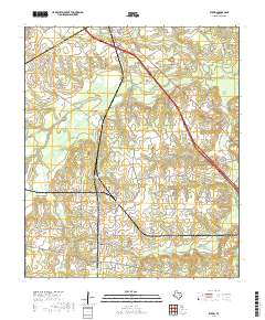
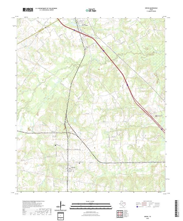 2022 Kirvin2022 Print · USGSThe borderlands of Freestone and Navarro counties come into focus in the early 2020s, showing a landscape of rural communities and winding creeks. Researchers can trace family sites like Webb-Branch Cem, Cade Cem, and the streets of Kirvin.
End of results
Showing maps 1-21 of 21
Top cities near Streetman
- Corsicana historical maps
- Mexia historical maps
- Fairfield historical maps
- Wortham historical maps
- Oak Valley historical maps
- Mildred historical maps
See more
Frequently asked questions
- What are the different types of historical maps available for Streetman?
- What is the oldest map of Streetman?
- Where can I purchase historical maps of Streetman for my home or office?
- Where can I download high-res historical maps of Streetman?
- Are there historical topographic maps available for Streetman?
- Is there historical aerial imagery available for Streetman?
- Where are historical maps of Streetman sourced from?