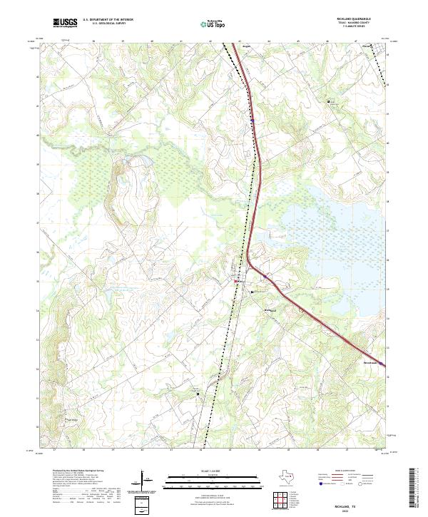
2022 Map of Richland
USGS Topo · Published 2022About this map
Richland and its neighboring communities sit at a busy transit crossroads in southern Navarro County, defined by the modern path of I-45 slicing through traditional ranch lands. This survey captures the rural landscape where the Richland Creek floodplain meets the rising elevation of Pisgah Ridge. Large-scale water management and industrial footprints are evident in the sprawling Texas Industries Lake and the Soil Conservation Service Site 36 Reservoir, which sit alongside older landmarks like Love Lake.
Find a feature on this map
84 named features on this map. Tap any name to fly to it.
Don’t see what you’re looking for? This feature index may not catch every label — zoom into the map to look around manually.
Map Details
Editions of this 2022 Richland Map
This is the sole edition of this map. No revisions or reprints were ever made.
Other maps of this area

1954 · Dallas
USGS Topo · 1:250,000

1954 · Waco
USGS Topo · 1:250,000

1955 · Waco
USGS Topo · 1:250,000

1958 · Dallas
USGS Topo · 1:250,000

1959 · Powell
USGS Topo · 1:24,000

1960 · Streetman
USGS Topo · 1:24,000

1963 · Richland
USGS Topo · 1:24,000

1963 · Wortham
USGS Topo · 1:24,000

1963 · Kirvin
USGS Topo · 1:24,000
1965 · Corsicana
USGS Topo · 1:24,000