Old Maps of Cozart, Texas for Genealogy
Trace your family roots with 12 historic maps of Cozart. These high-res maps reveal old neighborhoods, homesites, landmarks, and streets — helping you uncover where your ancestors lived and how the area evolved over time.
- Explore historic neighborhoods: Identify where your relatives may have lived in the 1800s or 1900s.
- Compare maps over time: Trace the changes in streets, buildings, and landmarks for multi-generational research.
- Perfect for genealogy & ancestry research: Used by family historians and researchers to map out lineage and migration.
These maps are an incredible resource for exploring your personal connection to Cozart's past.
Cozart, TX maps
(12)- 1890 Map of Abilene, 1955 Print
 1890 Abilene1955 Print · USGSWest Texas ranching country and rail settlements come alive in the 1890s as the railroad transforms the prairie. Genealogists can trace early homesteads near Buffalo Gap or follow the Texas and Pacific Railway through Abilene and Elmdale.
 - 1892 Map of Abilene
 1892 Abilene1892 Print · USGSTaylor and Callahan counties were transitioning into a major rail and ranching corridor during the 1890s. Genealogical researchers can locate early frontier settlements like Buffalo Gap and Guion, or trace the path of the Texas and Pacific Railway.5 unique versions available
 - 1954 Map of Abilene, 1966 Print
 1954 Abilene1966 Print · USGSThe Texas Big Country comes into focus in the mid-1950s as petroleum and new water projects reshape the landscape. Local historians can trace the Butterfield Trail, find the Fort Phantom Hill Ruins, and locate numerous small communities along the Texas & Pacific line.2 unique versions available
 - 1957 Map of Buffalo Gap, 1958 Print
 1957 Buffalo Gap1958 Print · USGSMid-century Abilene and the surrounding Taylor County landscape are captured here as the city expanded westward toward the new military installations. Local historians can trace family roots through the Buffalo Gap Cem, the campus of McMurry College, and the rail stops of the Abilene and Southern.2 unique versions available
 - 1958 Map of Abilene
 1958 Abilene1958 Print · USGSMid-century West Texas comes alive in this survey of the Abilene and Stephenville region during a period of steady oil expansion and military growth. Genealogists and local historians can trace the paths of the Texas & Pacific RR through historic towns, locate the Fort Griffin Ruins, and find smaller settlements like Desdemona and Lueders.
 - 1984 Map of Merkel East
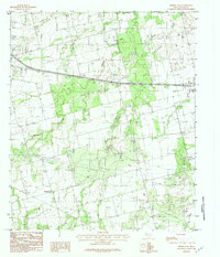 1984 Merkel East1984 Print · USGSTaylor County during the late seventies and early eighties shows a landscape of growing towns and prairie ranching. Trace local history through family-named sites like Cozart and Mt Pleasant, or locate industrial landmarks including the Oil Field and Military Reservation.2 unique versions available
 - 1985 Map of Abilene, 1986 Print
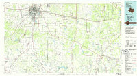 1985 Abilene1986 Print · USGSThe West Texas ranching and rail landscape around Abilene is captured here in the mid-1980s. Local researchers can trace the growth of Hardin-Simmons University, locate family sites near Ross Cem, or explore the area around Buffalo Gap and Dyess Air Force Base.2 unique versions available
 - 2010 Map of Merkel East, 2010 Print
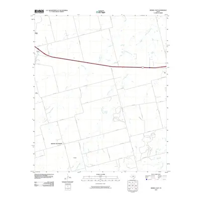 2010 Merkel East2010 Print · USGSTaylor County at the start of the decade shows a landscape of cattle ranching and energy production. Genealogists and local researchers can trace family landmarks like Rose Hill Cemetery or the rural settlements of Mount Pleasant and Cozart.
 - 2012 Map of Merkel East, 2012 Print
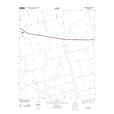 2012 Merkel East2012 Print · USGSTaylor County during the early twenty-first century is defined by the busy corridor between Merkel and Tye. Genealogists and local historians can trace rural family sites near Cozart, the Rose Hill Cem, and the winding banks of Mulberry Cr.
 - 2016 Map of Merkel East, 2016 Print
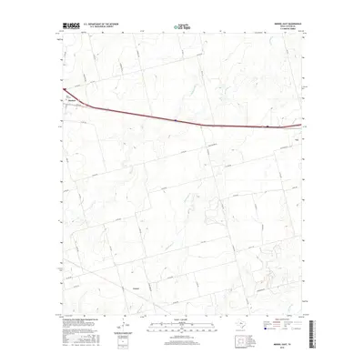 2016 Merkel East2016 Print · USGSTaylor County in the mid-2010s shows a landscape of growing communities and rural crossroads west of Abilene. Genealogists and local historians can trace the areas around Merkel, the Rose Hill Cem, and the southern settlement of Cozart.
 - 2019 Map of Merkel East, 2019 Print
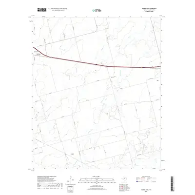 2019 Merkel East2019 Print · USGSTaylor County at the close of the 2010s shows a landscape of rural crossroads and growing highway corridors. Genealogists and local researchers can trace family landmarks like Rose Hill Cem or the smaller settlements of Cozart and Tye.
 - 2022 Map of Merkel East, 2022 Print
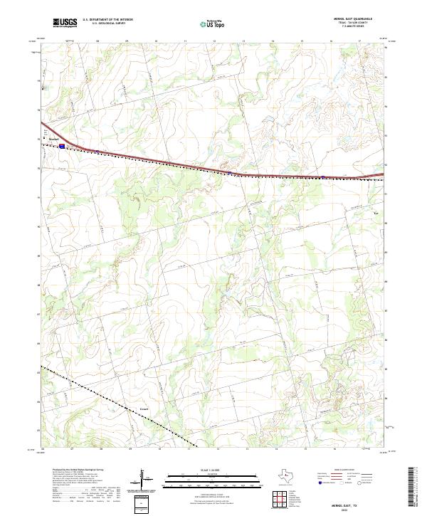 2022 Merkel East2022 Print · USGSTaylor County settlement patterns are visible in the modern era as the communities of Merkel and Tye expand along the interstate corridor. Researchers can trace rural landmarks like Rose Hill Cem, the Cozart area, and family-named roads such as Wimberly Rd.
End of results
Showing maps 1-12 of 12
Top cities near Cozart
- Abilene historical maps
- Merkel historical maps
- Tye historical maps
- Tuscola historical maps
- Hawley historical maps
- Buffalo Gap historical maps
See more
Frequently asked questions
- What are the different types of historical maps available for Cozart?
- What is the oldest map of Cozart?
- Where can I purchase historical maps of Cozart for my home or office?
- Where can I download high-res historical maps of Cozart?
- Are there historical topographic maps available for Cozart?
- Is there historical aerial imagery available for Cozart?
- Where are historical maps of Cozart sourced from?