1970s Maps of Tom Green County, Texas
Explore 18 historic maps of Tom Green County from the 1970s. These maps offer a rare glimpse into what life looked like during the 1970s — showing old roads, neighborhoods, homes, and landmarks that have changed or disappeared over time.
Whether you're researching your family's past, planning a metal detecting trip, or studying how Tom Green County's landscape evolved across the 1970s, these high-resolution maps are a powerful tool for exploring the history of this region.
- Focus on a specific era: All maps on this page are from the 1970s, giving you a focused view of this time period.
- See what’s changed: Compare century-old streets, trails, and buildings to today's modern landscape using overlays and satellite layers.
- Research with precision: Use these maps for genealogy, historical research, land use analysis, or educational projects.
- View, download, or print: Maps are fully viewable online in high resolution, and can be downloaded or printed for your own records.
Start exploring Tom Green County's history through authentic maps from the 1970s. This is your window into the past.
Tom Green County, TX maps
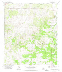
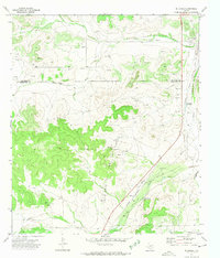
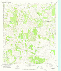
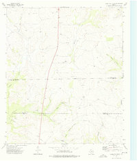
(18)- 1970 Map of Rocking Chair Ranch, 1973 Print
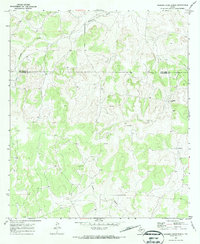 1970 Rocking Chair Ranch1973 Print · USGSSchleicher County ranching and energy exploration are captured here during the early seventies. Genealogists and historians can trace property boundaries and land use at the Rocking Chair Ranch, Crowbar Ranch, and local Oil Wells.2 unique versions available
 - 1970 Map of Burr Oak Creek, 1973 Print
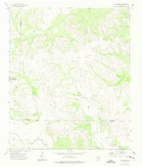
 1970 Burr Oak Creek1973 Print · USGSThe Concho and Tom Green County borderlands are captured here in the early seventies, showing a landscape of sprawling ranchland and energy exploration. Local historians can trace family-held lands like Slator Ranch or locate old Oil Wells and seasonal water sources like Frog Pond.2 unique versions available
 - 1970 Map of Del Venado Ranch, 1973 Print
 1970 Del Venado Ranch1973 Print · USGSThe rural borders of Menard and Concho counties are captured here in the early seventies during a period of oil field development. Researchers can trace the footprint of the AND FIELD OIL district, Del Venado Ranch, and several Landing Strips.
 - 1970 Map of Kickapoo Spring, 1973 Print
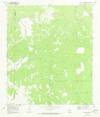
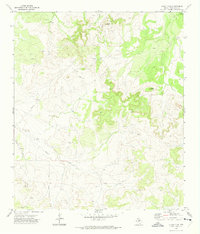
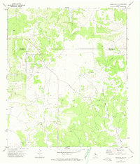
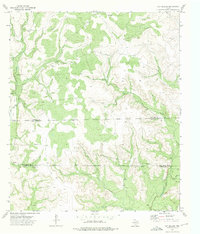
 1970 Kickapoo Spring1973 Print · USGSTom Green County ranchlands in the early seventies reveal a landscape of family-run livestock operations and emerging oil exploration. Genealogists and local historians can locate legacy holdings like the Joe Mertz Ranch and the historic Kickapoo Spr.
 - 1972 Map of Hulldale NW, 1974 Print
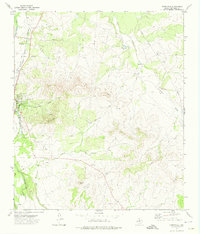
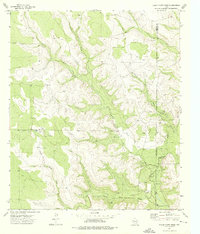
 1972 Hulldale NW1974 Print · USGSThe West Texas ranchlands of Tom Green and Irion counties appear in the early 1970s as a landscape of oil production and creek-side landmarks. Local researchers can trace old ranching sites like the Headquarters Windmill and an isolated Cem near Dove Creek.2 unique versions available
 - 1972 Map of Cold Creek Spring, 1974 Print
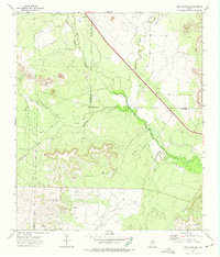
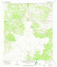
 1972 Cold Creek Spring1974 Print · USGSTom Green County in the early seventies shows a landscape where the river-and-rail economy meets West Texas ranching. Trace the path of the South Concho River through Christoval, locate the historic Cold Creek Spring, and find isolated family landmarks like a lone Grave.
 - 1972 Map of Susan Peak, 1974 Print
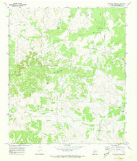
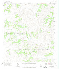
 1972 Susan Peak1974 Print · USGSTom Green County was a hub of energy production and ranching in the early seventies. Genealogists and industrial historians can trace the landscape of extraction through Oil Wells, Doorkey Lane, and the prominent landmark of Susan Peak.2 unique versions available
 - 1972 Map of Dog Creek NE, 1974 Print
 1972 Dog Creek NE1974 Print · USGSWest Texas ranch and oil country come into focus during the early 1970s, where the three-way border of Tom Green, Coke, and Sterling Counties meets. Researchers can trace the extensive Water Valley Oil Field and Oil Wells along the North Concho River.2 unique versions available
 - 1972 Map of Dog Creek SW, 1974 Print
 1972 Dog Creek SW1974 Print · USGSWest Texas ranch country and oil exploration are documented in this early 1970s survey of the Sterling and Tom Green county lines. Researchers can trace the drainage of Little Mulberry Creek or locate remote work sites like an isolated Oil Well and a rural Landing Strip.
 - 1972 Map of Hulldale, 1974 Print
 1972 Hulldale1974 Print · USGSSchleicher County ranch and oil country is captured here during the early 1970s, showing the intersection of rail transport and energy extraction. Researchers can trace the Atchison Topeka and Santa Fe Railway past the Hulldale siding and the Neva West Oil and Gas Field.2 unique versions available
 - 1972 Map of Christoval SE, 1974 Print
 1972 Christoval SE1974 Print · USGSSchleicher County in the early seventies was a hub of petroleum exploration and ranching along the Tom Green County line. Genealogists and historians can trace the O'Harrow Oil Field and the winding course of Rudd Road through the West Texas brush.
 - 1972 Map of Christoval, 1974 Print
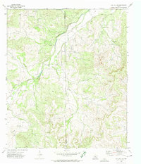
 1972 Christoval1974 Print · USGSThe South Concho River valley in the early seventies shows a landscape of ranching and emerging industry. Genealogists and local historians can trace the Atchison Topeka and Santa Fe rail line, the De Long Cem, and landmarks like Mount Susan.
 - 1972 Map of Hulldale SW, 1974 Print
 1972 Hulldale SW1974 Print · USGSTexas ranching country and the Permian Basin's energy reach meet in the early seventies along the Schleicher county line. Trace the family footprints at Henderson Ranch or Case Ranch and locate oil-era landmarks like the central Pumping Sta.2 unique versions available
 - 1972 Map of Cave Spring, 1974 Print
 1972 Cave Spring1974 Print · USGSSchleicher and Tom Green counties are captured here in the early 1970s, showing a landscape defined by ranching and resource extraction. Genealogists and historians can trace the course of the South Concho River, the small settlement of Oliver, and the namesake Cave Spring.2 unique versions available
 - 1972 Map of Dog Creek, 1975 Print
 1972 Dog Creek1975 Print · USGSThe high plateau of Tom Green and Irion counties comes into focus during the early 1970s, showcasing a landscape defined by ranching and energy. Researchers can trace the development of the Funk Oil Field and the sparse settlement at McCrary near Dog Creek.3 unique versions available
 - 1973 Map of Hay Hollow, 1975 Print
 1973 Hay Hollow1975 Print · USGSThe West Texas ranchlands at the intersection of Sterling, Tom Green, and Irion counties are documented here in the early seventies. Local historians and land researchers can trace the Cope Field oil infrastructure, old Gravel Pits, and the Model A Windmill.
 - 1973 Map of Three Bluff Draw, 1976 Print
 1973 Three Bluff Draw1976 Print · USGSDeep in West Texas during the early seventies, this survey captures the rugged country where Reagan and Sterling counties meet. Genealogists and historians can trace family-named landmarks like Lone Joe Ranch and the early footprint of Cope Field.
 - 1973 Map of Coon Dive Draw, 1976 Print
 1973 Coon Dive Draw1976 Print · USGSRanching life on the Sterling and Tom Green county lines is captured in the early 1970s. Researchers can trace family holdings like McGill Ranch or locate the remote Coon Dive Windmill and Landing Strip.
End of results
Showing maps 1-18 of 18
Top cities of Tom Green County
Frequently asked questions
- What are the different types of historical maps available for Tom Green County?
- What is the oldest map of Tom Green County?
- Where can I purchase historical maps of Tom Green County for my home or office?
- Where can I download high-res historical maps of Tom Green County?
- Are there historical topographic maps available for Tom Green County?
- Is there historical aerial imagery available for Tom Green County?
- Where are historical maps of Tom Green County sourced from?