2020s Maps of Tom Green County, Texas
Explore 41 historic maps of Tom Green County from the 2020s. These maps offer a rare glimpse into what life looked like during the 2020s — showing old roads, neighborhoods, homes, and landmarks that have changed or disappeared over time.
Whether you're researching your family's past, planning a metal detecting trip, or studying how Tom Green County's landscape evolved across the 2020s, these high-resolution maps are a powerful tool for exploring the history of this region.
- Focus on a specific era: All maps on this page are from the 2020s, giving you a focused view of this time period.
- See what’s changed: Compare century-old streets, trails, and buildings to today's modern landscape using overlays and satellite layers.
- Research with precision: Use these maps for genealogy, historical research, land use analysis, or educational projects.
- View, download, or print: Maps are fully viewable online in high resolution, and can be downloaded or printed for your own records.
Start exploring Tom Green County's history through authentic maps from the 2020s. This is your window into the past.
Tom Green County, TX maps
(41)- 2022 Map of Hay Hollow, 2022 Print
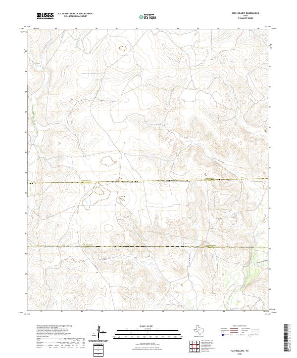 2022 Hay Hollow2022 Print · USGSSterling and Tom Green counties meet in this contemporary survey of the West Texas divide. Genealogists and land researchers can trace property lines along Middle Concho River, Hay Hollow, and the rural expanse near Middle Rd.
 - 2022 Map of Coon Dive Draw, 2022 Print
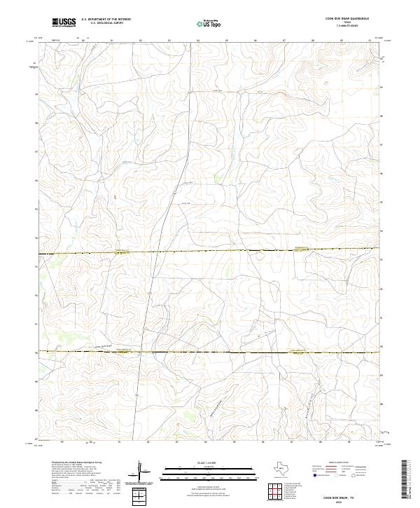 2022 Coon Dive Draw2022 Print · USGSThe ranching country where Sterling, Tom Green, and Irion Counties meet is documented here in its contemporary state. Researchers can trace the drainage of the Edwards Plateau along Coon Dive Draw, North Liveoak Draw, and the winding path of Kiowa Cr.
 - 2022 Map of Three Bluff Draw, 2022 Print
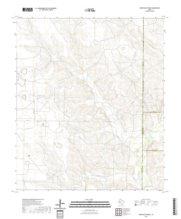 2022 Three Bluff Draw2022 Print · USGSReagan and Tom Green Counties meet in this remote ranching territory during the early twenty-first century. Genealogists and local historians can trace the paths of Middle Concho River and family-named routes like Momma Pfluger Rd or Holt Ranch Rd.
 - 2022 Map of Wall, 2022 Print
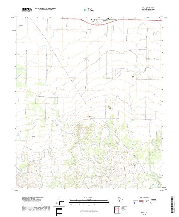 2022 Wall2022 Print · USGSTom Green County in the early twenty-first century reveals a landscape of enduring rural communities and family land holdings. Researchers can trace local genealogy and land use through Wall, the Wall Cem, and the industrial path of Marathon Oil Co Rd.
 - 2022 Map of Twin Buttes, 2022 Print
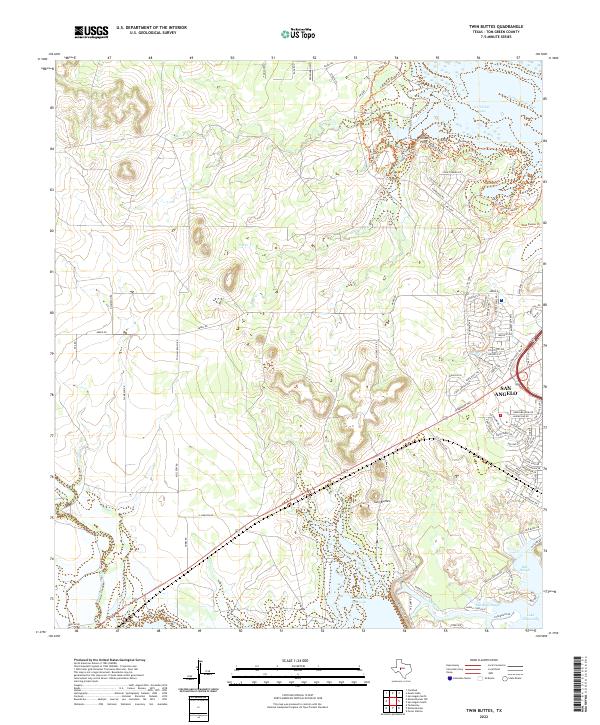 2022 Twin Buttes2022 Print · USGSThe western edges of San Angelo meet the vast Concho River watershed in this 2022 survey of Tom Green County. Researchers can trace the complex shoreline of Twin Buttes Reservoir and locate local landmarks like Twin Buttes and Pulliam Point.
 - 2022 Map of Murph Draw, 2022 Print
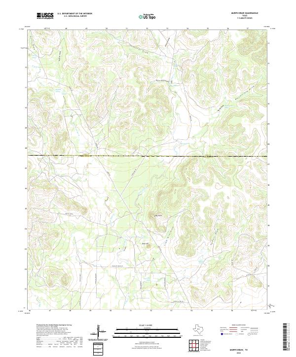 2022 Murph Draw2022 Print · USGSThe West Texas ranchlands of Tom Green and Coke Counties are captured here in the early twenty-first century. Genealogists and land historians can trace rural property access via Walnut Grove and survey natural landmarks like Ruby Point and Bean Hill.
 - 2022 Map of Pecan Station, 2022 Print
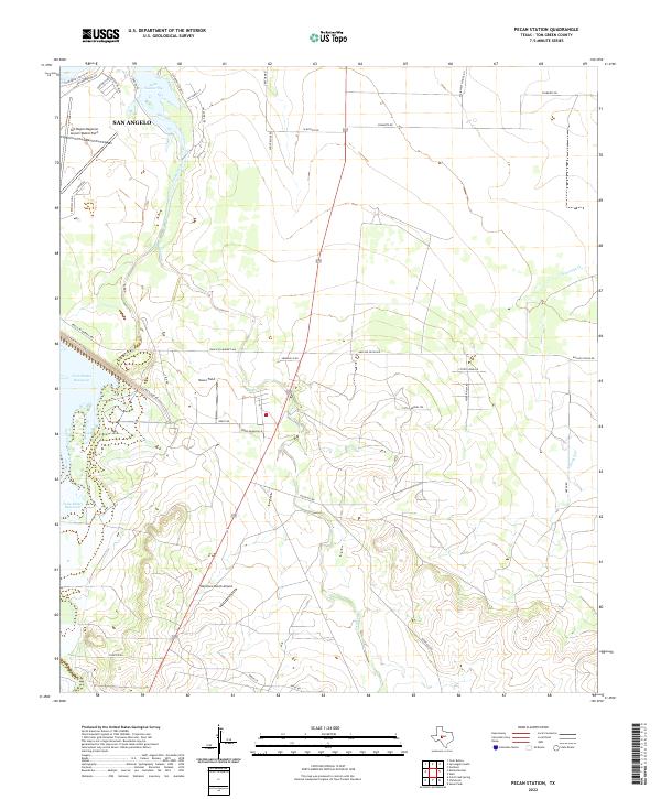 2022 Pecan Station2022 Print · USGSThe southern outskirts of San Angelo meet the West Texas ranchlands in the early 2020s. Aviation and water history converge here at the San Angelo Regional Airport/Mathis Field and the sprawling waters of Twin Buttes Reservoir.
 - 2022 Map of Mount Nebo, 2022 Print
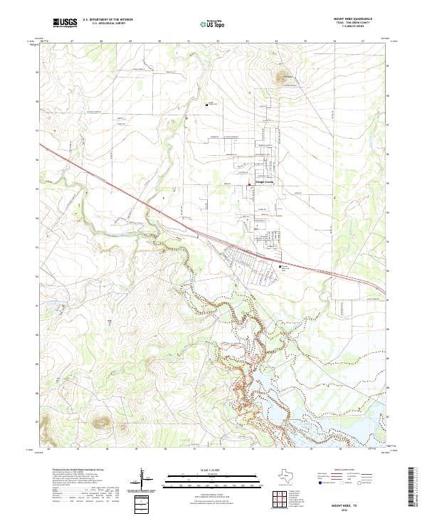 2022 Mount Nebo2022 Print · USGSNorth of San Angelo in the 2020s, this area shows a landscape defined by the North Concho River and the growing community of Grape Creek. Researchers can trace local burial sites at Grape Creek Cem and landmark elevations like Mt Nebo.
 - 2022 Map of Pecan Mott, 2022 Print
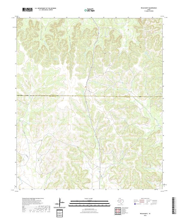 2022 Pecan Mott2022 Print · USGSThe West Texas ranchlands of Tom Green and Coke counties are captured here in the early twenty-first century. Researchers can trace vital water sources and land features like Buffalo Spring, Houston Springs, and Butterfield Canyon.
 - 2022 Map of Dog Creek, 2022 Print
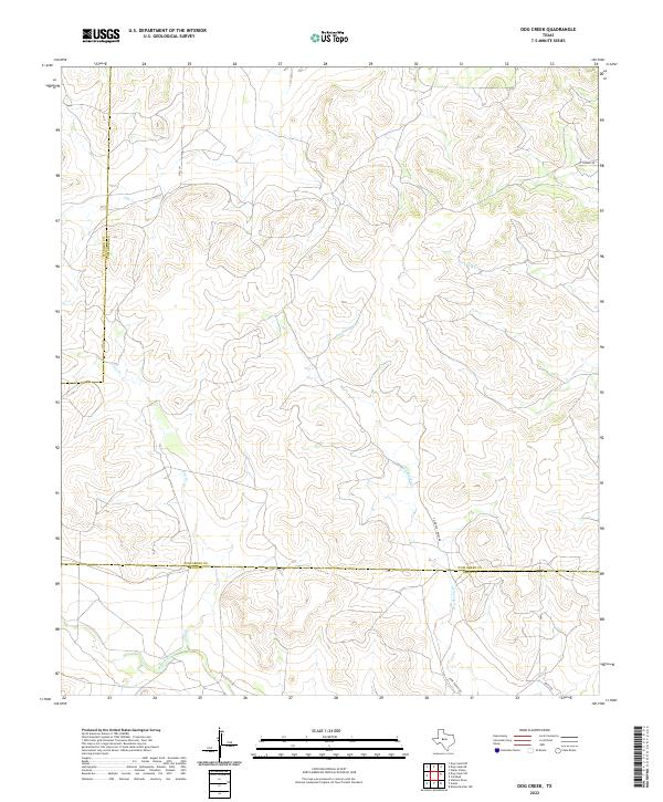 2022 Dog Creek2022 Print · USGSWest Texas ranchland at the intersection of Sterling, Tom Green, and Irion counties is documented here in the early twenty-first century. Researchers can trace land-use patterns along Dry Rocky Creek and find family-named routes such as Funk Ranch Road and Hall Lane.
 - 2022 Map of Knickerbocker NW, 2022 Print
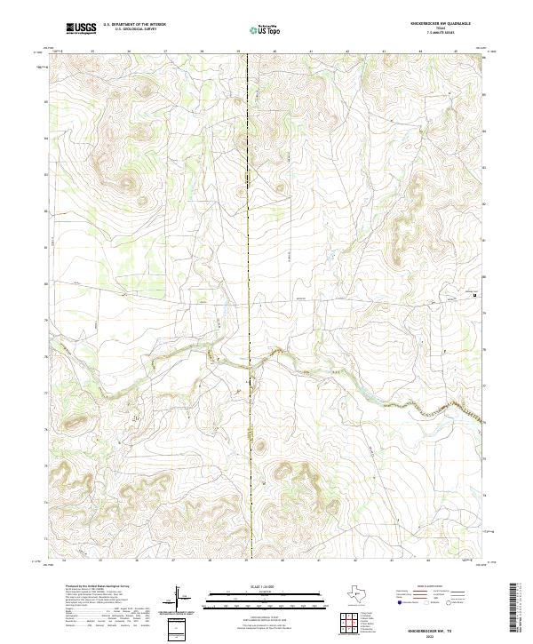 2022 Knickerbocker NW2022 Print · USGSThe West Texas ranchlands along the Concho River come into focus in this contemporary survey of the Tom Green and Irion county line. Researchers can locate Midway Cem and trace the winding course of E Rocky Cr and the Middle Concho River.
 - 2022 Map of Burr Oak Creek, 2022 Print
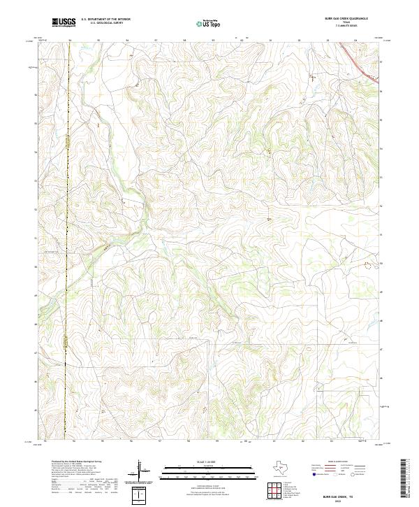 2022 Burr Oak Creek2022 Print · USGSThe Concho and Tom Green county line was still a landscape of remote ranchlands and deep draws in the early twenty-first century. Researchers can trace the rugged drainage systems of Burr Oak Cr, Kickapoo Cr, and the route of Fort Mckavett Rd.
 - 2022 Map of Tennyson, 2022 Print
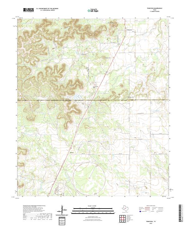 2022 Tennyson2022 Print · USGSThe West Texas ranchlands of Coke and Tom Green Counties come to life in this detailed study of the area surrounding Tennyson and Orient. Researchers can trace the winding paths of Crows Nest Cr, locate family ties at Mule Creek Cem, and explore landmarks like Buttermilk Hill.
 - 2022 Map of Susan Peak, 2022 Print
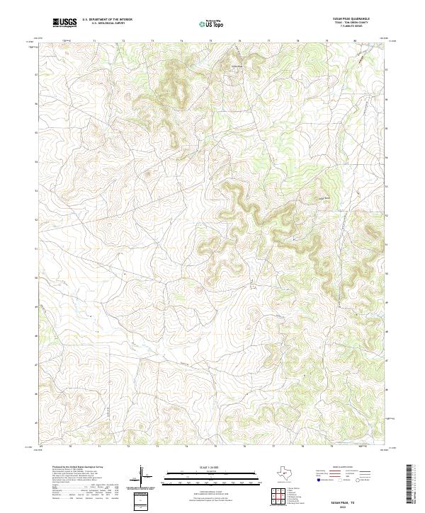 2022 Susan Peak2022 Print · USGSTom Green County ranchlands appear in the early 2020s as a landscape defined by industrial oil access and historical cattle operations. Genealogists and historians can trace the paths of Door Key Rd and Dewolf Rd near prominent landmarks like Susan Peak.
 - 2022 Map of Miles, 2022 Print
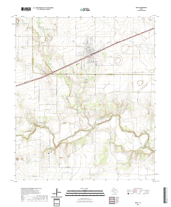 2022 Miles2022 Print · USGSThe Concho River valley in west Texas is documented here in the early twenty-first century, showing the rural landscape around the town of Miles. Genealogists and local historians can trace family land near the Concho River and locate the Miles Cem and Mullins Cem.
 - 2022 Map of Hulldale, 2022 Print
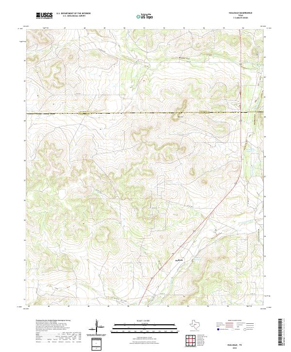 2022 Hulldale2022 Print · USGSSchleicher and Tom Green counties are captured in this modern survey of the West Texas divide. Researchers can trace the path of the S Concho River and find isolated landmarks like Big Hill, Hulldale, and the Tenmile Waterhole.
 - 2022 Map of Rocking Chair Ranch, 2022 Print
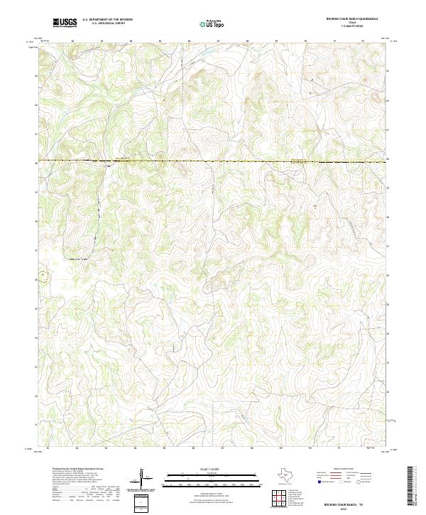 2022 Rocking Chair Ranch2022 Print · USGSSchleicher and Tom Green counties are captured in this contemporary survey of the West Texas divide country. Researchers can trace land boundaries along Bill Pfluger Road Private or follow the paths of Kickapoo Cr and Rocky Cr.
 - 2022 Map of Vancourt, 2022 Print
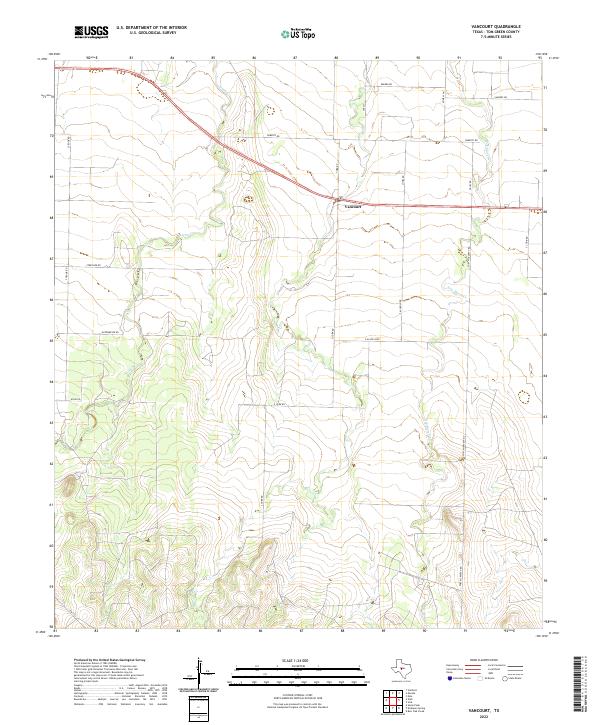 2022 Vancourt2022 Print · USGSThe ranching country of Tom Green County is documented here in the early twenty-first century, centered on the settlement of Vancourt. Researchers can trace the paths of Lipan Cr, the historic route of Fort McKavett Rd, and the rural network of FM 1223.
 - 2022 Map of Water Valley, 2022 Print
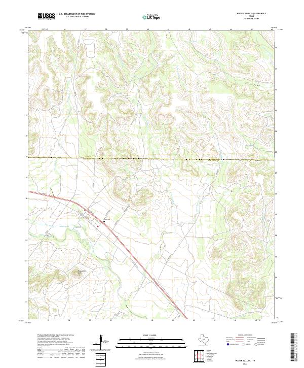 2022 Water Valley2022 Print · USGSNear the border of Tom Green and Coke counties in the early 2020s, this area reflects the enduring ranching landscape of West Texas. Researchers can trace historic family landmarks such as the Water Valley Cem, Ranger Spring, and the topographic rise of McLaughlin Mtn.
 - 2022 Map of Harriet, 2022 Print
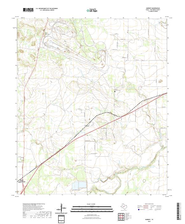 2022 Harriet2022 Print · USGSTom Green County ranch lands are captured here in the early 2020s as the area maintains its rural character northeast of the city. Genealogists and local researchers can trace family-named roads or locate the Harriett Community Cem near Harriet and Alma.
 - 2022 Map of Christoval SE, 2022 Print
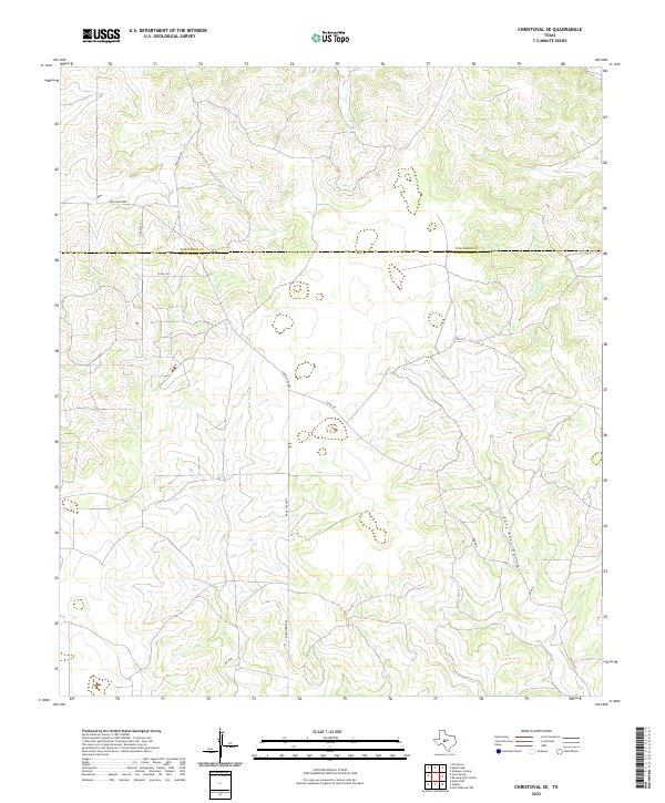 2022 Christoval SE2022 Print · USGSSchleicher and Tom Green counties are shown here in the 2020s, highlighting a landscape of remote ranch roads and seasonal creek beds. Researchers can trace land divisions along Door Key Rd and Ranch Rd 2084 or follow the terrain of East Poor Hollow.
 - 2022 Map of Dog Creek NE, 2022 Print
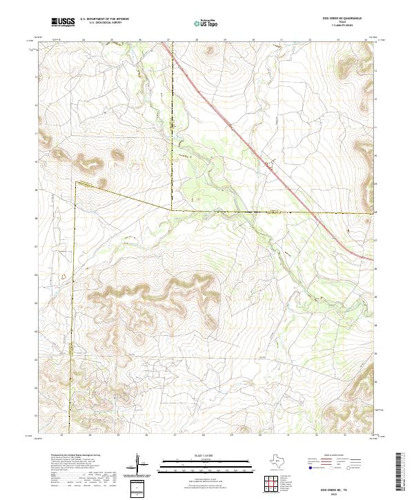 2022 Dog Creek NE2022 Print · USGSThe West Texas ranchlands at the intersection of Sterling, Coke, and Tom Green counties are mapped in detail during the early 2020s. Researchers can trace the rugged drainage of the N Concho River and follow rural routes like Sisco Rd or FM 2034.
 - 2022 Map of Lowake, 2022 Print
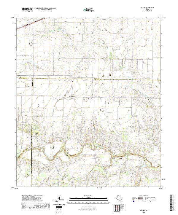 2022 Lowake2022 Print · USGSLowake and the surrounding Concho Valley are captured here in a contemporary study of the Texas ranchlands. Genealogists and researchers can trace local land divisions near Lowake and the banks of the Concho River or Chandler Lake.
 - 2022 Map of Knickerbocker, 2022 Print
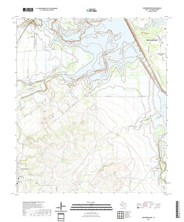 2022 Knickerbocker2022 Print · USGSTom Green County is shown here in the 2020s, dominated by the reservoir system and the quiet settlement of Knickerbocker. Genealogists can locate family names at the Knickerbocker Community Cem or trace the drainage of the Middle Concho River.
 - 2022 Map of Hulldale SW, 2022 Print
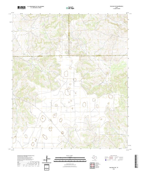 2022 Hulldale SW2022 Print · USGSSchleicher County ranch lands and the triple-county corner with Irion and Tom Green are captured in this recent survey. Local researchers can trace modern access routes like Ranch Rd 915 and the seasonal drainage of Bois D'Arc Draw.
Showing maps 1-25 of 41
Top cities of Tom Green County
Frequently asked questions
- What are the different types of historical maps available for Tom Green County?
- What is the oldest map of Tom Green County?
- Where can I purchase historical maps of Tom Green County for my home or office?
- Where can I download high-res historical maps of Tom Green County?
- Are there historical topographic maps available for Tom Green County?
- Is there historical aerial imagery available for Tom Green County?
- Where are historical maps of Tom Green County sourced from?