2000s (21st Century) Maps of Tom Green County, Texas
Explore 205 historic maps of Tom Green County from the 2000s (21st Century). These maps offer a rare glimpse into what life looked like during the 2000s — showing old roads, neighborhoods, homes, and landmarks that have changed or disappeared over time.
Whether you're researching your family's past, planning a metal detecting trip, or studying how Tom Green County's landscape evolved across the 2000s, these high-resolution maps are a powerful tool for exploring the history of this region.
- Focus on a specific era: All maps on this page are from the 2000s, giving you a focused view of this time period.
- See what’s changed: Compare century-old streets, trails, and buildings to today's modern landscape using overlays and satellite layers.
- Research with precision: Use these maps for genealogy, historical research, land use analysis, or educational projects.
- View, download, or print: Maps are fully viewable online in high resolution, and can be downloaded or printed for your own records.
Start exploring Tom Green County's history through authentic maps from the 2000s. This is your window into the past.
Tom Green County, TX maps
(205)- 2010 Map of Hulldale NW, 2010 Print
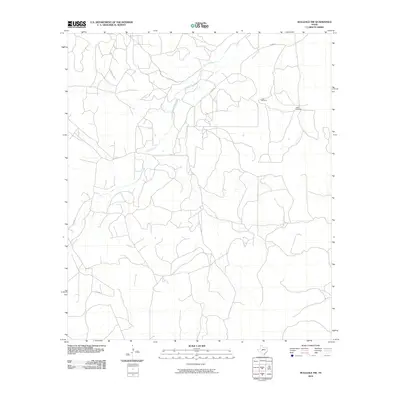 2010 Hulldale NW2010 Print · USGSTexas ranch lands and rural waterways are captured here during the first decade of the millennium. Researchers can trace the path of Dove Creek and locate family-named infrastructure like the Steel Windmill or Guinn Rd.
 - 2010 Map of Kickapoo Spring, 2010 Print
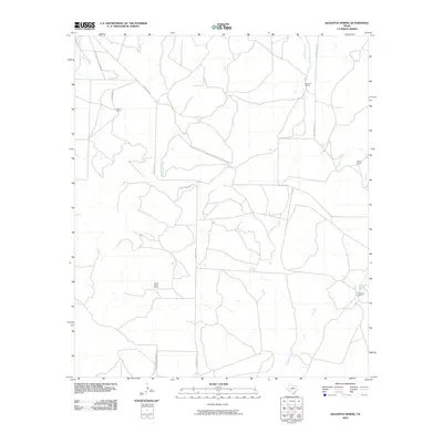 2010 Kickapoo Spring2010 Print · USGSRanching life in West Texas continues to define the landscape of Tom Green County during the early twenty-first century. Researchers can trace family-named lands like Barron Ranch and Joe Mertz Ranch or locate the historic Kickapoo Spring.
 - 2010 Map of Burr Oak Creek, 2010 Print
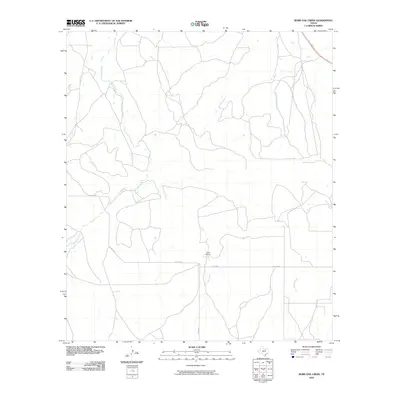 2010 Burr Oak Creek2010 Print · USGSTom Green County ranchland comes into focus during the early twenty-first century as the local cattle and livestock economy remains central to the land. Researchers can trace the sprawling boundaries of Slator Ranch and follow the paths of Kickapoo Creek and Burr Oak Creek.
 - 2010 Map of Hulldale, 2010 Print
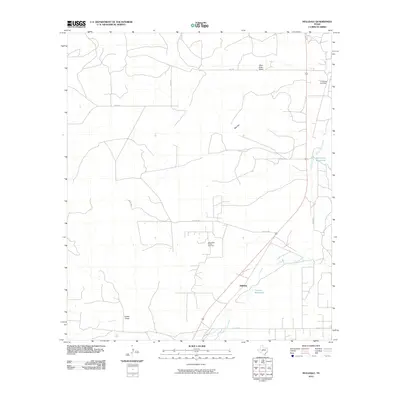 2010 Hulldale2010 Print · USGSSchleicher County ranching and energy production intersect in the early 2010s near the South Concho River. Researchers can trace old transportation routes like Old Mt Hwy and locate specific sites within the Neva West Oil and Gas Field or at Tenmile Waterhole.
 - 2010 Map of Del Venado Ranch, 2010 Print
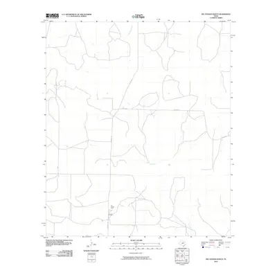 2010 Del Venado Ranch2010 Print · USGSTom Green County ranching country is documented here in the early 2000s, showing the intersection of rural life and West Texas watercourses. Researchers can trace the layout of Del Venado Ranch and the winding paths of Burr Oak Creek and Brady Creek.
 - 2010 Map of Susan Peak, 2010 Print
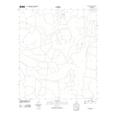 2010 Susan Peak2010 Print · USGSTom Green County is shown in the early twenty-first century, revealing a landscape defined by ranching roads and natural landmarks. Researchers can trace the paths of Door Key Rd and Dewolf Rd near Susan Peak and Pecan Creek.
 - 2010 Map of Cave Spring, 2010 Print
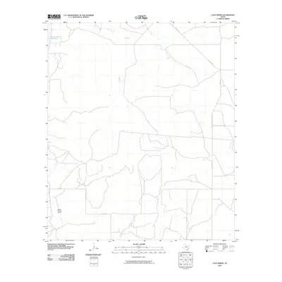 2010 Cave Spring2010 Print · USGSTom Green County ranching country is captured here during the first decade of the new millennium, showing a landscape defined by its historic waterholes and named trails. Researchers can trace the path of the Toe Nail Trl or locate landmarks like Panther Bluff Waterhole and Cave Spring.
 - 2010 Map of Rocking Chair Ranch, 2010 Print
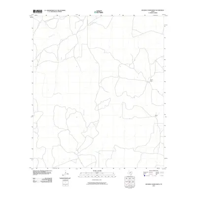 2010 Rocking Chair Ranch2010 Print · USGSTom Green County ranching culture is documented here at the start of the 2010s. Trace the boundaries of local operations like Rocking Chair Ranch and Crowbar Ranch alongside the vital waters of Kickapoo Creek and Rocky Creek.
 - 2010 Map of San Angelo North, 2010 Print
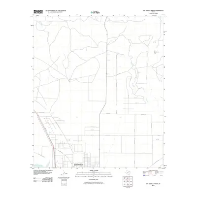 2010 San Angelo North2010 Print · USGSThe northern edge of San Angelo and the surrounding Texas ranch land are captured here in the early twenty-first century. Researchers can trace local development and road networks near O C Fisher Lake and the prominent Devils Courthouse Peak.
 - 2010 Map of Christoval, 2010 Print
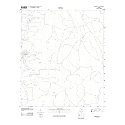 2010 Christoval2010 Print · USGSThe community of Christoval and the winding South Concho River are captured here in the early twenty-first century. Genealogists and local historians can trace family locations along the Toe Nail Trl and identify sites like DeLong Cemetery and Anson Spring.
 - 2010 Map of Tankersley, 2010 Print
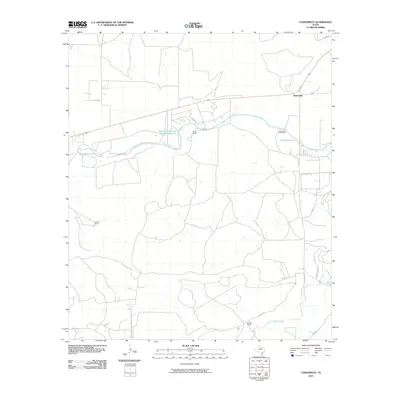 2010 Tankersley2010 Print · USGSTom Green County ranch lands are captured here in the early twenty-first century, showing a landscape defined by water and wide-open acreage. Researchers can trace historic family holdings like the Tweedy Ranch and water features such as Rust Reservoir.
 - 2010 Map of Hulldale SW, 2010 Print
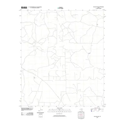 2010 Hulldale SW2010 Print · USGSWest Texas ranching culture remains the focus of this 2010 survey of Tom Green County. Local historians and genealogists can trace the footprint of significant family landholdings like Duff Ranch, Henderson Ranch, and the Case Ranch.
 - 2010 Map of Harriet, 2010 Print
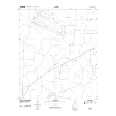 2010 Harriet2010 Print · USGSNortheast of San Angelo in the early twenty-first century, this landscape preserves the rural character of Harriet and the surrounding ranchlands. Genealogists and historians can trace local landmarks like Harriet Cemetery, Kiesling School, and the flow of Tenmile Creek.
 - 2010 Map of Coon Dive Draw, 2010 Print
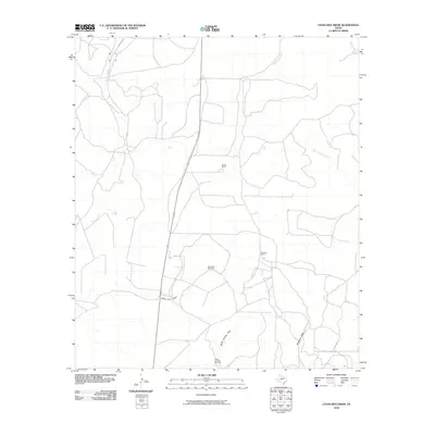 2010 Coon Dive Draw2010 Print · USGSTom Green County ranch lands are documented here in the early twenty-first century, showing a landscape defined by water management and livestock. Researchers can trace rural property developments and essential water sources like Coon Dive Windmill and McGill Ranch.
 - 2010 Map of Cold Creek Spring, 2010 Print
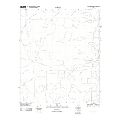 2010 Cold Creek Spring2010 Print · USGSThe Texas ranchlands of Tom Green County are captured here at the start of the decade, revealing a landscape shaped by the South Concho River. Trace water-rights history and rural infrastructure through landmarks like Cold Creek Spring, Jones Dam, and Turkey Windmill.
 - 2010 Map of Eola, 2010 Print
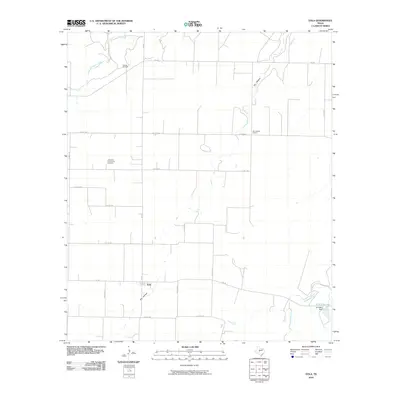 2010 Eola2010 Print · USGSConcho County farmland is captured here in the decade following the turn of the millennium, showing a landscape defined by ranching and energy. Researchers can locate the Lakeview Community Cemetery, the Dry Hollow School, and the reach of the Mereta Oil Field.
 - 2010 Map of Vancourt, 2010 Print
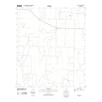 2010 Vancourt2010 Print · USGSVancourt and the surrounding Tom Green County ranch lands are shown here at the turn of the decade. Researchers can trace local land divisions and energy footprints through features like the Yan-Kee Canyon Oil Field, Lipan Flat, and Hog Marsh Creek.
 - 2010 Map of Christoval SE, 2010 Print
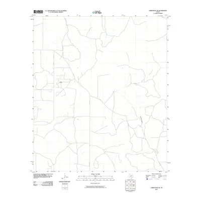 2010 Christoval SE2010 Print · USGSTom Green County ranch lands are captured here in the early twenty-first century, showing the intersection of local history and industry. Researchers can trace the path of the Toe Nail Trl or locate landmarks like the Toenail Oil Field and East Poor Hollow.
 - 2010 Map of Miles, 2010 Print
 2010 Miles2010 Print · USGSMiles and the surrounding Runnels County plains are shown at the turn of the millennium, defined by its historic river crossings and rail-side settlement. Genealogists and local historians can locate Miles Cemetery, the Sikes School, and water landmarks like Sixteen Mile Crossing.
 - 2010 Map of Vick, 2010 Print
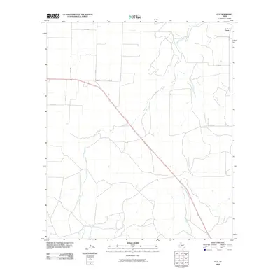 2010 Vick2010 Print · USGSConcho County ranch lands and rural junctions are captured here during the early twenty-first century. Researchers can trace the rural landscape around Vick and find local landmarks like Henderson Chapel or follow the paths of Kickapoo Creek and Frog Pond Creek.
 - 2010 Map of Pecan Mott, 2010 Print
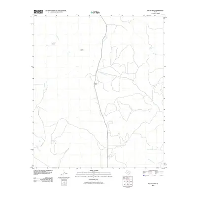 2010 Pecan Mott2010 Print · USGSCoke County, Texas, is shown in the early twenty-first century, revealing a landscape defined by its vital water sources and ranching routes. Researchers can trace the paths of Red Creek and Liveoak Creek or locate named sites like Pecan Mott and Buffalo Spring.
 - 2010 Map of Veribest, 2010 Print
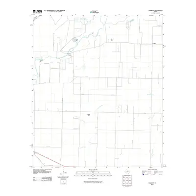 2010 Veribest2010 Print · USGSTexas ranching and farming country east of San Angelo is documented here in the early twenty-first century. Genealogists and local historians can trace family-named roads across the Lipan Flat or locate the settlement of Veribest and the Sixmile Crossing on the Concho River.
 - 2010 Map of Mereta, 2010 Print
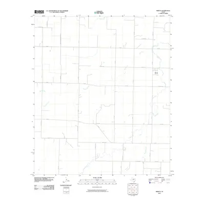 2010 Mereta2010 Print · USGSTom Green County ranchland comes into focus in the early 21st century, centered on the settlement of Mereta. Researchers can trace local family footprints through landmarks like Kellermeir Rd and historic crossings along Lipan Creek and Ninemile Creek.
 - 2010 Map of Lowake, 2010 Print
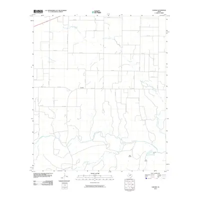 2010 Lowake2010 Print · USGSConcho County ranch lands and the small community of Lowake are captured here during the first decade of the millennium. Genealogists can trace family holdings along the Concho River or follow the route of Old Sweet Home School Rd.
 - 2010 Map of Tennyson, 2010 Print
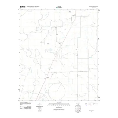 2010 Tennyson2010 Print · USGSThis corner of Tom Green County comes into focus as it appeared in the early 21st century, centered on the railroad corridor and small ranching communities. Researchers can trace local lineage at Mule Creek Cemetery and explore landmarks like Mount Margaret or Wooland Siding.
Showing maps 1-25 of 205
Top cities of Tom Green County
Frequently asked questions
- What are the different types of historical maps available for Tom Green County?
- What is the oldest map of Tom Green County?
- Where can I purchase historical maps of Tom Green County for my home or office?
- Where can I download high-res historical maps of Tom Green County?
- Are there historical topographic maps available for Tom Green County?
- Is there historical aerial imagery available for Tom Green County?
- Where are historical maps of Tom Green County sourced from?