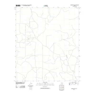
2010 Map of Christoval SE
USGS Topo · Published 2010About this map
Toenail Oil Field sits at the heart of this West Texas landscape, surrounded by a network of ranch roads and rural trails. The terrain is defined by dry drainage systems and intermittent waterways, including the winding course of Pecan Creek and the southern reaches of Kickapoo Creek. Named routes like Toe Nail Trl, Door Key Rd, and Rudd Rd crisscross the area, reflecting the long-established ranching and energy-production infrastructure of Tom Green County. To the southeast, the topography deepens into East Poor Hollow, while Dry Creek marks the western edge of the quadrangle. This 2010 survey provides a clear view of the rural road network and the specific placement of oil field operations within the semi-arid environment.
Find a feature on this map
11 named features on this map. Tap any name to fly to it.
Don’t see what you’re looking for? This feature index may not catch every label — zoom into the map to look around manually.
Map Details
Editions of this 2010 Christoval SE Map
This is the sole edition of this map. No revisions or reprints were ever made.
Other maps of this area

1892 · San Angelo
USGS Topo · 1:125,000

1893 · Fort McKavett
USGS Topo · 1:125,000

1954 · Sonora
USGS Topo · 1:250,000

1954 · San Angelo
USGS Topo · 1:250,000

1958 · Sonora
USGS Topo · 1:250,000

1958 · San Angelo
USGS Topo · 1:250,000

1963 · Adams
USGS Topo · 1:24,000

1963 · Adams NW
USGS Topo · 1:24,000

1965 · San Angelo
USGS Topo · 1:250,000

1970 · Rocking Chair Ranch
USGS Topo · 1:24,000