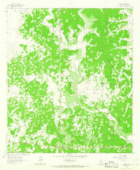
1963 Map of Adams
USGS Topo · Published 1966This historical map portrays the area of Adams in 1963, primarily covering Schleicher County. Featuring a scale of 1:24000, this map provides a highly detailed snapshot of the terrain, roads, buildings, counties, and historical landmarks in the Adams region at the time. Published in 1966, it is one of 2 known editions of this map due to revisions or reprints.
Map Details
Editions of this 1963 Adams Map
2 editions found
Historical Maps of Schleicher County Through Time
21 maps found
1893 Fort McKavett
Schleicher County, TX
1963 Adams NW
Schleicher County, TX
1963 Adams
Schleicher County, TX
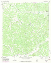
1963 Adams SE
Schleicher County, TX
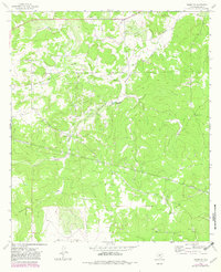
1963 Adams SW
Schleicher County, TX
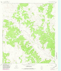
1964 Bailey Draw
Schleicher County, TX
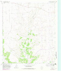
1964 Coupe Ranch
Schleicher County, TX
1964 Eldorado NE
Schleicher County, TX
1964 Eldorado NW
Schleicher County, TX
1964 Eldorado SW
Schleicher County, TX
1964 Moore Ranch
Schleicher County, TX
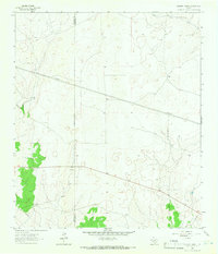
1964 Oglesby Ranch
Schleicher County, TX
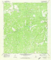
1970 Coralina Ranch
Schleicher County, TX
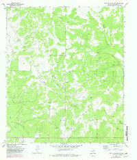
1970 Fort McKavett NW
Schleicher County, TX
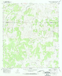
1970 Rocking Chair Ranch
Schleicher County, TX
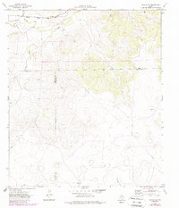
1971 Noelke SW
Schleicher County, TX
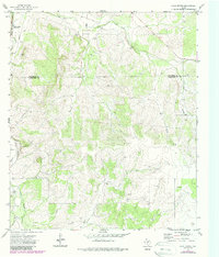
1972 Cave Spring
Schleicher County, TX
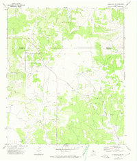
1972 Christoval SE
Schleicher County, TX
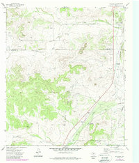
1972 Hulldale
Schleicher County, TX
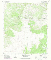
1972 Hulldale SW
Schleicher County, TX
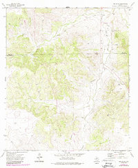
1972 Noelke SE
Schleicher County, TX