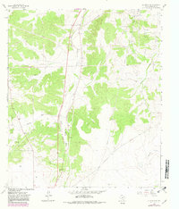
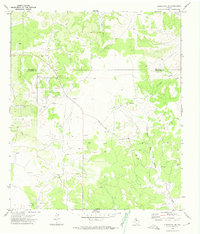
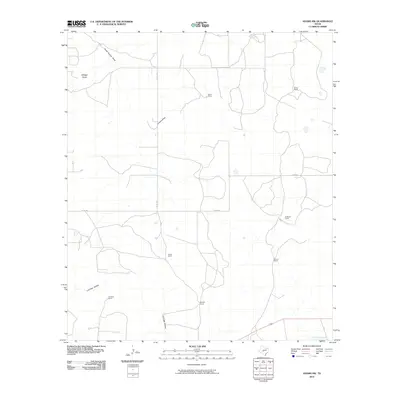
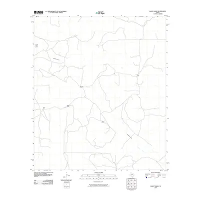
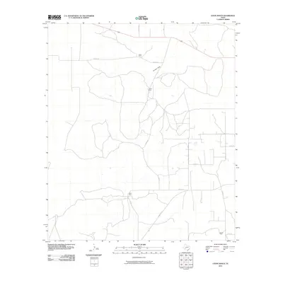
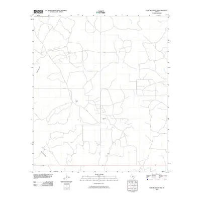
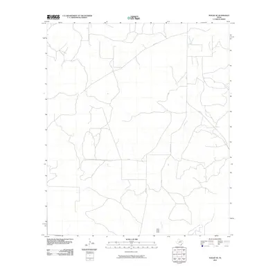
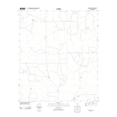
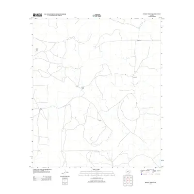
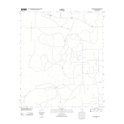
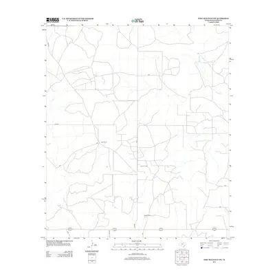
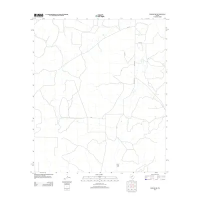
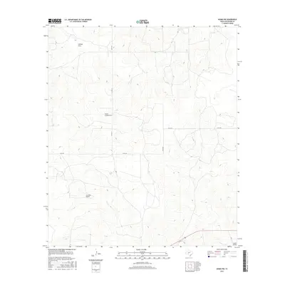
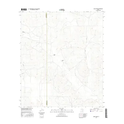
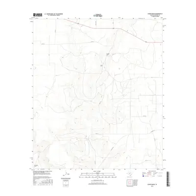
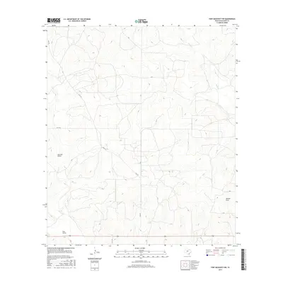
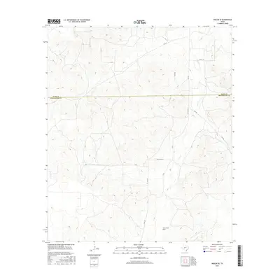
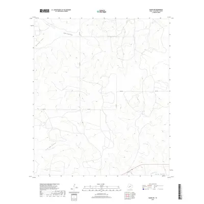
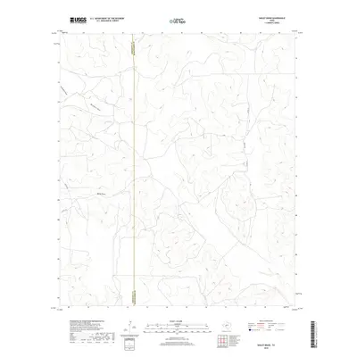
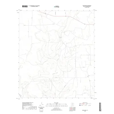
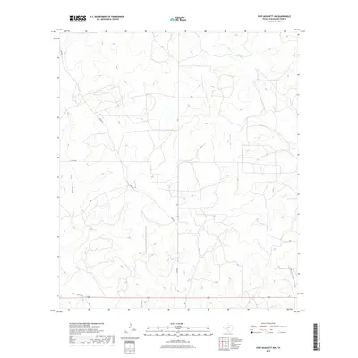
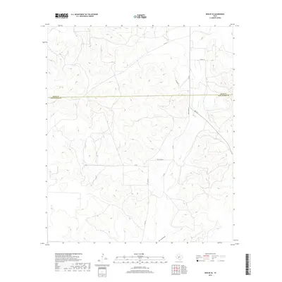
1964 Map of Eldorado NE
USGS Topo · Published 1982About this map
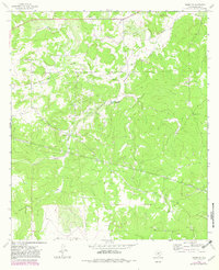
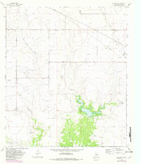
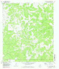
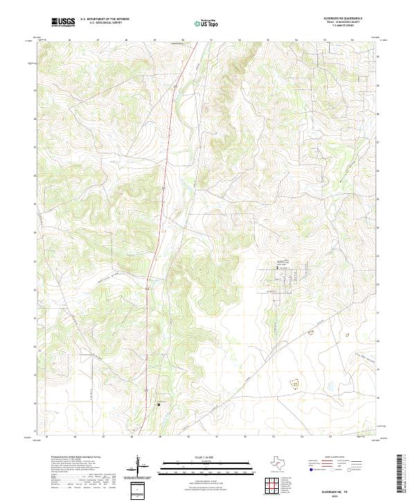
The South Concho River carves a central path through this section of Schleicher County, shaping a landscape defined by significant energy production and transport history. The Hulldale Oil Field and Eldorado Gas Field dominate the northern and southwestern portions of the quadrangle, where numerous wells and pipelines illustrate the intensity of mid-century petroleum extraction. An Old Railroad Grade runs parallel to the river and Highway 277, tracing a defunct transportation corridor through the scrub and limestone hills. Genealogical markers appear at a small Cem near the riverbanks, while the rugged geography is named at Eldorado Canyon and various drainages like Whitten Draw and Milligan Draw. This 1964 survey, updated with 1979 aerial data, captures the intersection of the region's natural drainage patterns with its deep-seated industrial infrastructure.
Find a feature on this map
14 named features on this map. Tap any name to fly to it.
Don’t see what you’re looking for? This feature index may not catch every label — zoom into the map to look around manually.
Map Details
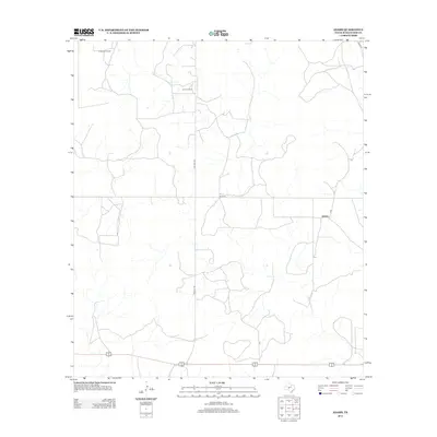
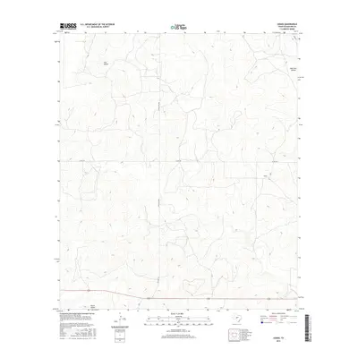
Editions of this 1964 Eldorado NE Map
2 editions found

Historical Maps of Schleicher County Through Time
121 maps found
1893 Fort McKavett
Schleicher County, TX

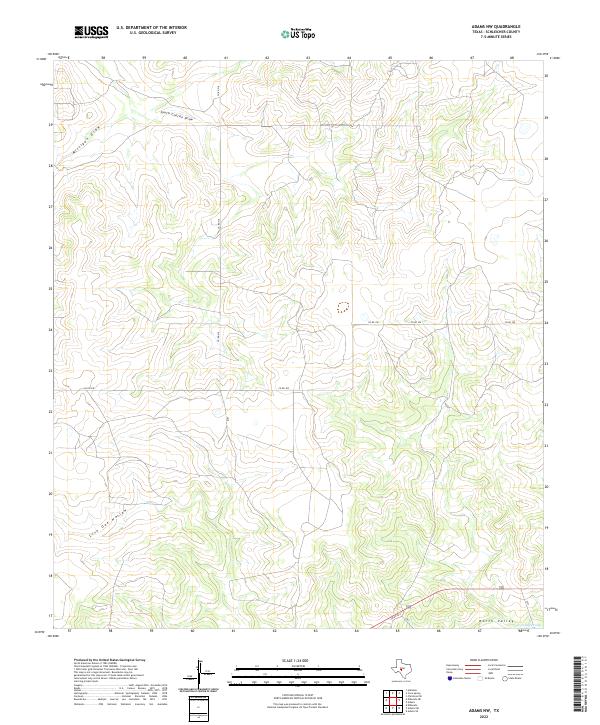
1963 Adams NW
Schleicher County, TX
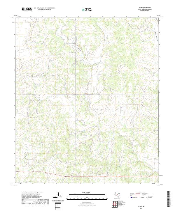
1963 Adams
Schleicher County, TX
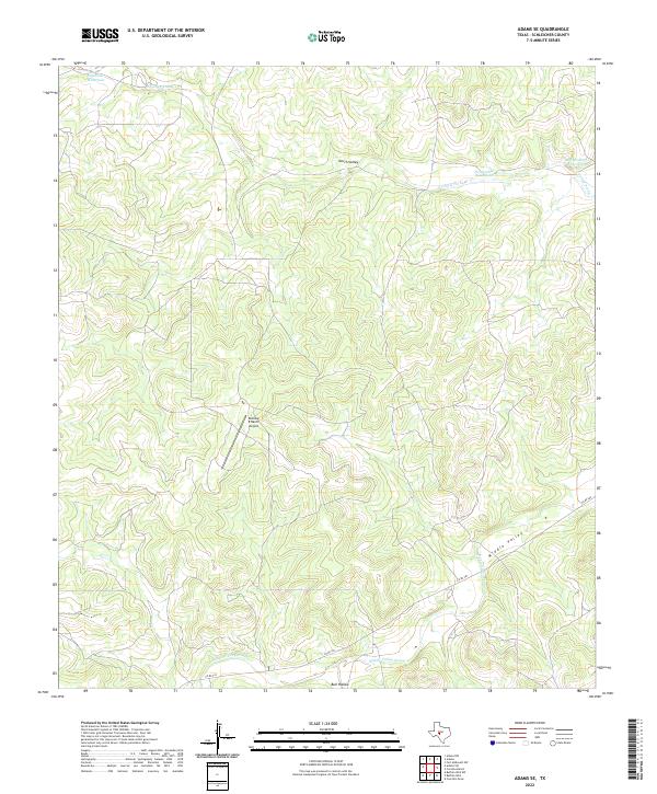
1963 Adams SE
Schleicher County, TX
1963 Adams SW
Schleicher County, TX
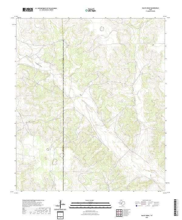
1964 Bailey Draw
Schleicher County, TX
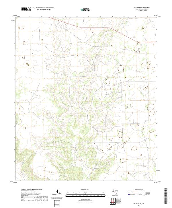
1964 Coupe Ranch
Schleicher County, TX
1964 Eldorado NE
Schleicher County, TX
1964 Eldorado NW
Schleicher County, TX
1964 Eldorado SW
Schleicher County, TX
1964 Moore Ranch
Schleicher County, TX
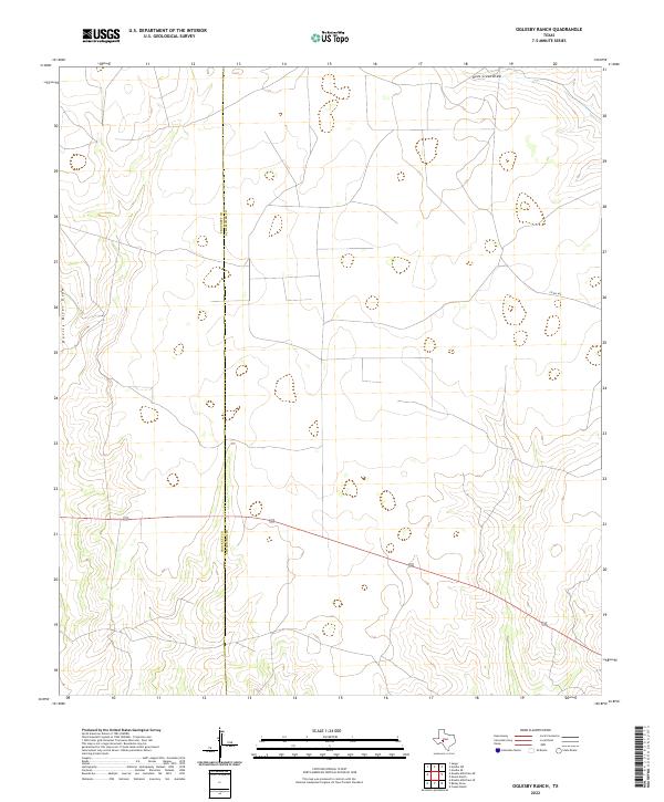
1964 Oglesby Ranch
Schleicher County, TX
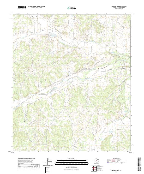
1970 Coralina Ranch
Schleicher County, TX
1970 Fort McKavett NW
Schleicher County, TX
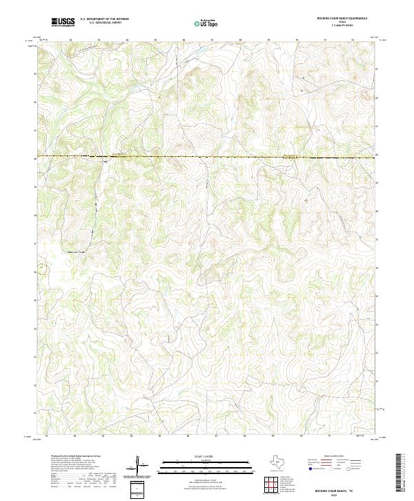
1970 Rocking Chair Ranch
Schleicher County, TX
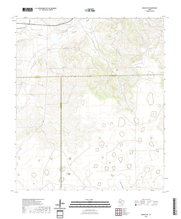
1971 Noelke SW
Schleicher County, TX
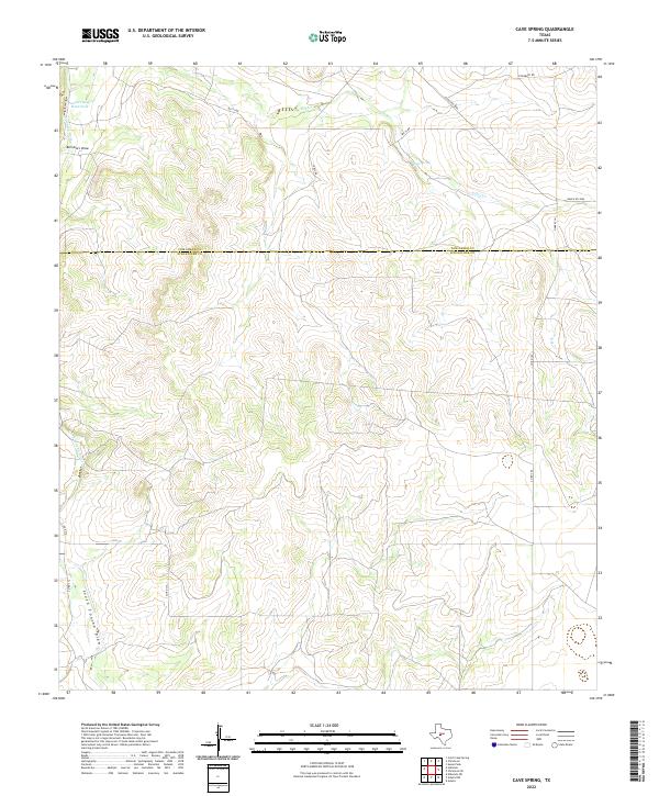
1972 Cave Spring
Schleicher County, TX
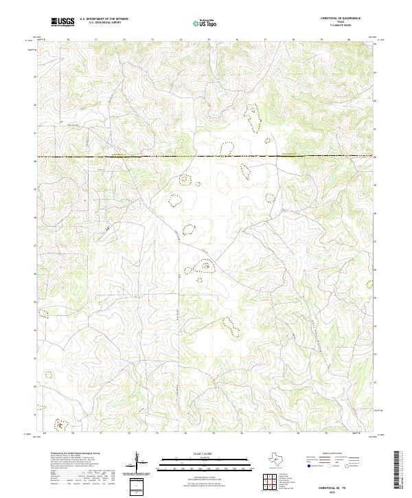
1972 Christoval SE
Schleicher County, TX
1972 Hulldale
Schleicher County, TX
1972 Hulldale SW
Schleicher County, TX
1972 Noelke SE
Schleicher County, TX
2010 Adams NW
Schleicher County, TX
2010 Adams
Schleicher County, TX
2010 Adams SE
Schleicher County, TX
2010 Adams SW
Schleicher County, TX
2010 Bailey Draw
Schleicher County, TX
2010 Cave Spring
Schleicher County, TX
2010 Christoval SE
Schleicher County, TX
2010 Coralina Ranch
Schleicher County, TX
2010 Coupe Ranch
Schleicher County, TX
2010 Eldorado NE
Schleicher County, TX
2010 Eldorado NW
Schleicher County, TX
2010 Eldorado SW
Schleicher County, TX
2010 Fort McKavett NW
Schleicher County, TX
2010 Hulldale
Schleicher County, TX
2010 Hulldale SW
Schleicher County, TX
2010 Moore Ranch
Schleicher County, TX
2010 Noelke SE
Schleicher County, TX
2010 Noelke SW
Schleicher County, TX
2010 Oglesby Ranch
Schleicher County, TX
2010 Rocking Chair Ranch
Schleicher County, TX
2012 Adams NW
Schleicher County, TX
2012 Adams
Schleicher County, TX
2012 Adams SE
Schleicher County, TX
2012 Adams SW
Schleicher County, TX
2012 Bailey Draw
Schleicher County, TX
2012 Cave Spring
Schleicher County, TX
2012 Christoval SE
Schleicher County, TX
2012 Coralina Ranch
Schleicher County, TX
2012 Coupe Ranch
Schleicher County, TX
2012 Eldorado NE
Schleicher County, TX
2012 Eldorado NW
Schleicher County, TX
2012 Eldorado SW
Schleicher County, TX
2012 Fort McKavett NW
Schleicher County, TX
2012 Hulldale
Schleicher County, TX
2012 Hulldale SW
Schleicher County, TX
2012 Moore Ranch
Schleicher County, TX
2012 Noelke SE
Schleicher County, TX
2012 Noelke SW
Schleicher County, TX
2012 Oglesby Ranch
Schleicher County, TX
2012 Rocking Chair Ranch
Schleicher County, TX
2016 Adams NW
Schleicher County, TX
2016 Adams
Schleicher County, TX
2016 Adams SE
Schleicher County, TX
2016 Adams SW
Schleicher County, TX
2016 Bailey Draw
Schleicher County, TX
2016 Cave Spring
Schleicher County, TX
2016 Christoval SE
Schleicher County, TX
2016 Coralina Ranch
Schleicher County, TX
2016 Coupe Ranch
Schleicher County, TX
2016 Eldorado NE
Schleicher County, TX
2016 Eldorado NW
Schleicher County, TX
2016 Eldorado SW
Schleicher County, TX
2016 Fort McKavett NW
Schleicher County, TX
2016 Hulldale
Schleicher County, TX
2016 Hulldale SW
Schleicher County, TX
2016 Moore Ranch
Schleicher County, TX
2016 Noelke SE
Schleicher County, TX
2016 Noelke SW
Schleicher County, TX
2016 Oglesby Ranch
Schleicher County, TX
2016 Rocking Chair Ranch
Schleicher County, TX
2019 Adams NW
Schleicher County, TX
2019 Adams
Schleicher County, TX
2019 Adams SE
Schleicher County, TX
2019 Adams SW
Schleicher County, TX
2019 Bailey Draw
Schleicher County, TX
2019 Cave Spring
Schleicher County, TX
2019 Christoval SE
Schleicher County, TX
2019 Coralina Ranch
Schleicher County, TX
2019 Coupe Ranch
Schleicher County, TX
2019 Eldorado NE
Schleicher County, TX
2019 Eldorado NW
Schleicher County, TX
2019 Eldorado SW
Schleicher County, TX
2019 Fort McKavett NW
Schleicher County, TX
2019 Hulldale
Schleicher County, TX
2019 Hulldale SW
Schleicher County, TX
2019 Moore Ranch
Schleicher County, TX
2019 Noelke SE
Schleicher County, TX
2019 Noelke SW
Schleicher County, TX
2019 Oglesby Ranch
Schleicher County, TX
2019 Rocking Chair Ranch
Schleicher County, TX
2022 Adams NW
Schleicher County, TX
2022 Adams
Schleicher County, TX
2022 Adams SE
Schleicher County, TX

2022 Adams SW
Schleicher County, TX
2022 Bailey Draw
Schleicher County, TX
2022 Cave Spring
Schleicher County, TX
2022 Christoval SE
Schleicher County, TX
2022 Coralina Ranch
Schleicher County, TX
2022 Coupe Ranch
Schleicher County, TX
2022 Eldorado NE
Schleicher County, TX
2022 Eldorado NW
Schleicher County, TX
2022 Eldorado SW
Schleicher County, TX
2022 Fort McKavett NW
Schleicher County, TX
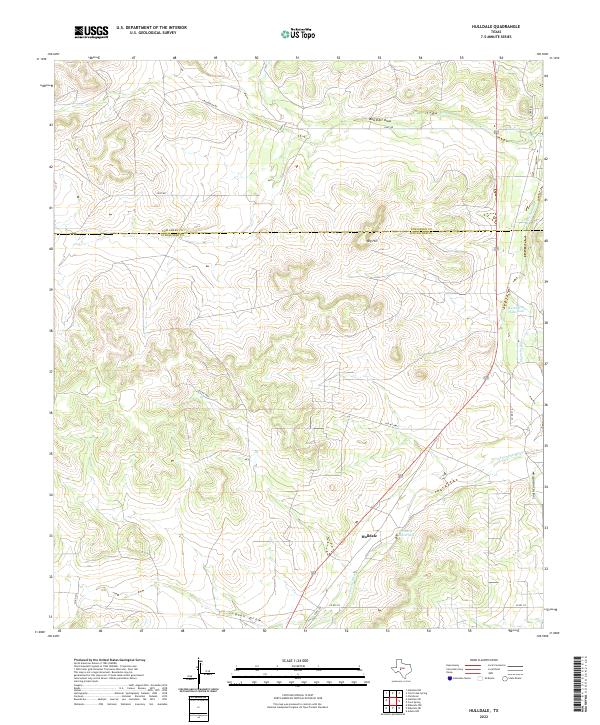
2022 Hulldale
Schleicher County, TX
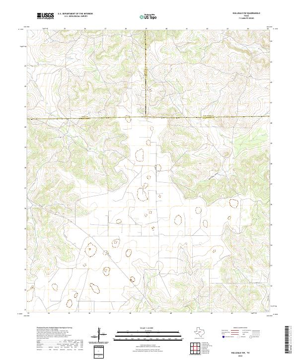
2022 Hulldale SW
Schleicher County, TX
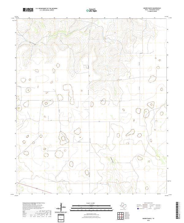
2022 Moore Ranch
Schleicher County, TX
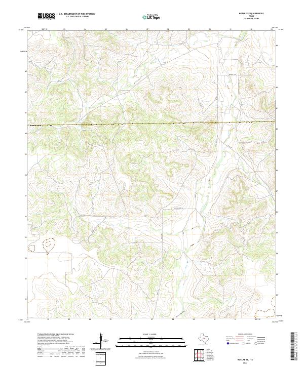
2022 Noelke SE
Schleicher County, TX
2022 Noelke SW
Schleicher County, TX
2022 Oglesby Ranch
Schleicher County, TX
2022 Rocking Chair Ranch
Schleicher County, TX