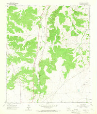
1964 Map of Eldorado NE
USGS Topo · Published 1966About this map
South Concho River headwaters and a network of dry drainage basins like Whitten Draw define this portion of the Edwards Plateau in Schleicher County. The landscape in the mid-1960s was dominated by energy extraction and transport, evidenced by the Hulldale Oil Field and Eldorado Canyon Gas Field, alongside a prominent north-south Pipeline. Human settlement and travel infrastructure are concentrated along the Atchison Topeka and Santa Fe railroad corridor. Notable local landmarks for genealogists and researchers include a small Cem and a Roadside Park located near the tracks. The map also meticulously records ranching boundaries with fine red dashed lines indicating selected fence lines, providing a detailed record of land use and property divisions during this era.
Find a feature on this map
12 named features on this map. Tap any name to fly to it.
Don’t see what you’re looking for? This feature index may not catch every label — zoom into the map to look around manually.
Map Details
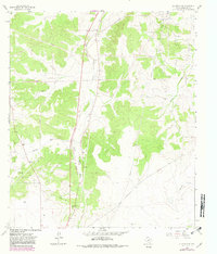
Editions of this 1964 Eldorado NE Map
2 editions found
Other maps of this area

1892 · San Angelo
USGS Topo · 1:125,000

1893 · Fort McKavett
USGS Topo · 1:125,000

1895 · Sherwood
USGS Topo · 1:125,000

1954 · Sonora
USGS Topo · 1:250,000

1954 · San Angelo
USGS Topo · 1:250,000

1958 · Sonora
USGS Topo · 1:250,000

1958 · San Angelo
USGS Topo · 1:250,000

1963 · Adams NW
USGS Topo · 1:24,000

1963 · Adams SW
USGS Topo · 1:24,000

1964 · Eldorado NW
USGS Topo · 1:24,000