
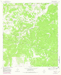
1963 Map of Adams SW
USGS Topo · Published 1966About this map
Henderson Ranch and Mc Burnett Ranch anchor this West Texas ranching landscape in Schleicher County, recorded during a mid-1960s survey. The terrain is defined by dry washes and drainage systems such as Oak Hollow and Lake Hollow, which channel towards the broader North Valley. This area represents a classic Edwards Plateau environment where water is a scarce and vital resource, highlighted by the naming of the Twentymile Waterhole.
Find a feature on this map
14 named features on this map. Tap any name to fly to it.
Don’t see what you’re looking for? This feature index may not catch every label — zoom into the map to look around manually.
Map Details
Editions of this 1963 Adams SW Map
2 editions found
Other maps of this area

1893 · Fort McKavett
USGS Topo · 1:125,000

1954 · Sonora
USGS Topo · 1:250,000

1958 · Sonora
USGS Topo · 1:250,000

1963 · Buffalo Well
USGS Topo · 1:24,000

1963 · Buffalo Well NW
USGS Topo · 1:24,000

1963 · Adams
USGS Topo · 1:24,000

1963 · Adams NW
USGS Topo · 1:24,000

1963 · Adams SE
USGS Topo · 1:24,000

1964 · Sonora NE
USGS Topo · 1:24,000
1964 · Eldorado NE
USGS Topo · 1:24,000