
1963 Map of Adams SE
USGS Topo · Published 1966About this map
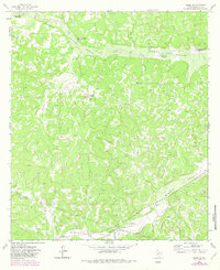
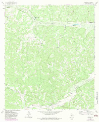
The Henderson Ranch and Rocking R Ranch anchor a landscape defined by traditional West Texas livestock operations in the early 1960s. This survey of Schleicher County reveals a region where water management was the primary concern for survival, as evidenced by named seasonal catchments like Eighteenmile Waterhole and Hurricane Bluff Waterhole. These features, located along the dry drainage of North Valley, provided essential hydration for cattle in an era before modern infrastructure reached every corner of the Edwards Plateau. The terrain is marked by the branching systems of North Valley Prong and Bull Hollow, which eventually give way to the Middle Valley in the south. While family-named landmarks like the L Edmiston Ranch and Crosby Ranch dominate the surface, industrial Pipelines cutting across the southwestern quadrant hint at the sub-surface energy exploration that was beginning to modernize the local economy.
Find a feature on this map
19 named features on this map. Tap any name to fly to it.
Don’t see what you’re looking for? This feature index may not catch every label — zoom into the map to look around manually.
Map Details
Editions of this 1963 Adams SE Map
3 editions found
Other maps of this area

1893 · Fort McKavett
USGS Topo · 1:125,000

1954 · Sonora
USGS Topo · 1:250,000

1958 · Sonora
USGS Topo · 1:250,000

1963 · Buffalo Well
USGS Topo · 1:24,000

1963 · Buffalo Well NW
USGS Topo · 1:24,000

1963 · Adams
USGS Topo · 1:24,000

1963 · Adams NW
USGS Topo · 1:24,000

1963 · Adams SW
USGS Topo · 1:24,000
1963 · Coal Kiln Draw
USGS Topo · 1:24,000
1970 · Coralina Ranch
USGS Topo · 1:24,000