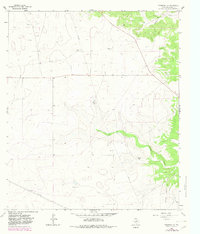
1964 Map of Eldorado NW
USGS Topo · Published 1982About this map
Family ranchlands and industrial infrastructure define the arid landscape of Schleicher County in this survey based on 1960s data with early 1980s updates. The map documents the rural holdings of several established families, including the Bearce Ranch, Meador Ranch, Page Ranch, and Whitten Ranch. These operations are interspersed with the significant energy development of the Eldorado Canyon Gas Field, which is marked by numerous gas wells and a network of pipelines that cut across the undulating terrain.
Find a feature on this map
13 named features on this map. Tap any name to fly to it.
Don’t see what you’re looking for? This feature index may not catch every label — zoom into the map to look around manually.
Map Details
Editions of this 1964 Eldorado NW Map
2 editions found
Other maps of this area

1895 · Sherwood
USGS Topo · 1:125,000

1954 · Sonora
USGS Topo · 1:250,000

1954 · San Angelo
USGS Topo · 1:250,000

1958 · Sonora
USGS Topo · 1:250,000

1958 · San Angelo
USGS Topo · 1:250,000

1964 · Eldorado NW
USGS Topo · 1:24,000

1964 · Eldorado SW
USGS Topo · 1:24,000

1964 · Coupe Ranch
USGS Topo · 1:24,000
1964 · Eldorado NE
USGS Topo · 1:24,000
1964 · Eldorado
USGS Topo · 1:24,000