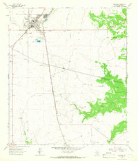
1964 Map of Eldorado
USGS Topo · Published 1966About this map
Eldorado serves as a concentrated center of ranching and transit in this mid-1960s survey of Schleicher County. The town layout shows a grid structured around the Atchison Topeka and Santa Fe railroad, supported by essential community infrastructure like the County Sch, local Cem, and Athletic Fields. The surrounding landscape is defined by the industrial and agricultural needs of the era, marked by numerous Gravel Pits, a complex network of pipelines, and a specialized Fish Hatchery located just south of the main settlement.
Find a feature on this map
19 named features on this map. Tap any name to fly to it.
Don’t see what you’re looking for? This feature index may not catch every label — zoom into the map to look around manually.
Map Details
Editions of this 1964 Eldorado Map
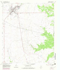
2 editions found
Other maps of this area

1893 · Fort McKavett
USGS Topo · 1:125,000

1954 · Sonora
USGS Topo · 1:250,000

1958 · Sonora
USGS Topo · 1:250,000

1963 · Buffalo Well NW
USGS Topo · 1:24,000

1963 · Adams NW
USGS Topo · 1:24,000

1963 · Adams SW
USGS Topo · 1:24,000

1964 · Eldorado NW
USGS Topo · 1:24,000

1964 · Sonora NE
USGS Topo · 1:24,000

1964 · Eldorado SW
USGS Topo · 1:24,000

1964 · Sonora NW
USGS Topo · 1:24,000