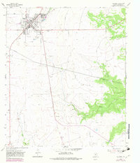
1964 Map of Eldorado
USGS Topo · Published 1982About this map
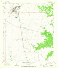
Eldorado serves as the focal point of this West Texas landscape, showing the town's structural layout in the mid-1960s with updates into the early 1980s. The settlement's local infrastructure is well-defined, featuring the Eldorado Municipal Airport, a local Cem, and recreation sites like the Athletic Fields and a Drive-in Theater on the outskirts. The geography is characterized by several drainage patterns including Antelope Draw and Meckel Draw, which lead toward the S Concho River and North Prong Valley.
Find a feature on this map
16 named features on this map. Tap any name to fly to it.
Don’t see what you’re looking for? This feature index may not catch every label — zoom into the map to look around manually.
Map Details
Editions of this 1964 Eldorado Map
2 editions found
Other maps of this area

1893 · Fort McKavett
USGS Topo · 1:125,000

1954 · Sonora
USGS Topo · 1:250,000

1958 · Sonora
USGS Topo · 1:250,000

1963 · Buffalo Well NW
USGS Topo · 1:24,000

1963 · Adams NW
USGS Topo · 1:24,000

1963 · Adams SW
USGS Topo · 1:24,000

1964 · Eldorado NW
USGS Topo · 1:24,000

1964 · Sonora NE
USGS Topo · 1:24,000

1964 · Eldorado SW
USGS Topo · 1:24,000

1964 · Sonora NW
USGS Topo · 1:24,000