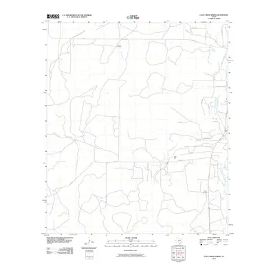
2010 Map of Cold Creek Spring
USGS Topo · Published 2010About this map
Cold Creek Spring and the South Concho River anchor this Tom Green County landscape, where water management remains central to the ranching geography. The network of rural roads, including Allen Rd and S FM 2335, connects isolated landmarks like Allen Hill and the Jones Dam on the river. The reliance on subterranean water sources is evident through named features such as Turkey Windmill and Sulphur Windmill, which serve as critical nodes in the arid terrain. This 2010 survey by the U.S. Geological Survey provides a precise view of the modern road system, from Koonce Ave to Chula Vista Rd, illustrating how contemporary property boundaries and access routes follow the natural drainage of Burks Creek and Cold Creek.
Find a feature on this map
22 named features on this map. Tap any name to fly to it.
Don’t see what you’re looking for? This feature index may not catch every label — zoom into the map to look around manually.
Map Details
Editions of this 2010 Cold Creek Spring Map
This is the sole edition of this map. No revisions or reprints were ever made.
Other maps of this area

1892 · San Angelo
USGS Topo · 1:125,000

1895 · Sherwood
USGS Topo · 1:125,000

1924 · San Angelo 2-c
USGS Topo · 1:48,000

1924 · Sherwood 1-d
USGS Topo · 1:48,000

1928 · Wall
USGS Topo · 1:62,500

1928 · Tankersly
USGS Topo · 1:62,500

1954 · San Angelo
USGS Topo · 1:250,000

1957 · Knickerbocker
USGS Topo · 1:62,500

1957 · Wall
USGS Topo · 1:62,500

1958 · San Angelo
USGS Topo · 1:250,000