
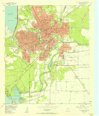
1924 Map of Sherwood 1-d
USGS Topo · Published 1924About this map
The confluence of arid West Texas waterways defines this 1924 landscape, where the Middle Concho River and Spring Creek converge amidst complex topographical contours. Surveyed by WH. Griffin and a team from the U.S. Geological Survey and the State of Texas Board of Water Engineers, the map captures the region's early transportation network, anchored by the Kansas City Mexico and Orient railroad. This rail line passes through Tankersly, providing a vital link for the surrounding ranching country to larger markets.
Find a feature on this map
10 named features on this map. Tap any name to fly to it.
Don’t see what you’re looking for? This feature index may not catch every label — zoom into the map to look around manually.
Map Details
Editions of this 1924 Sherwood 1-d Map
This is the sole edition of this map. No revisions or reprints were ever made.
Other maps of this area

1892 · San Angelo
USGS Topo · 1:125,000

1895 · Sherwood
USGS Topo · 1:125,000

1924 · San Angelo 2-c
USGS Topo · 1:48,000

1924 · San Angelo 2-b
USGS Topo · 1:48,000

1924 · Sherwood 1-a
USGS Topo · 1:48,000

1928 · Wall
USGS Topo · 1:62,500

1928 · Tankersly
USGS Topo · 1:62,500

1954 · San Angelo
USGS Topo · 1:250,000

1957 · Twin Buttes
USGS Topo · 1:24,000
1957 · San Angelo South
USGS Topo · 1:24,000